South Union in Logan County, Kentucky — The American South (East South Central)
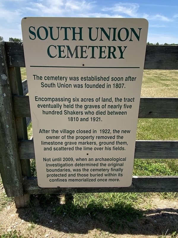
South Union Cemetery
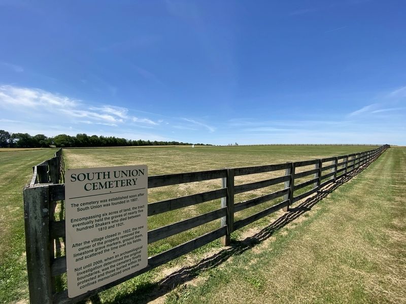
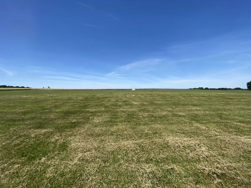
Encompassing six acres of land, the tract eventually held the graves of nearly five hundred Shakers who died between 1810 and 1921.
After the village closed in 1922, the new owner of the property removed the limestone grave markers, ground them, and scattered the lime over his fields.
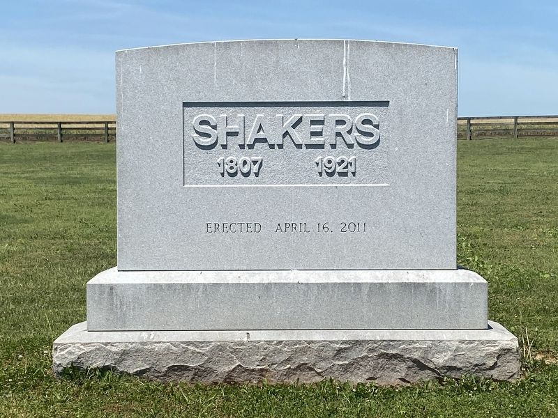
Not until 2009, when an archaeological investigation determined the original boundaries, was the cemetery finally protected and those buried within its confines memorialized once more.
Topics and series. This historical marker is listed in this topic list: Cemeteries & Burial Sites. In addition, it is included in the Communal and Utopian Societies series list.
Location. 36° 53.115′ N, 86° 38.629′ W. Marker is in South Union, Kentucky, in Logan County. Marker is on Shakertown Road (Kentucky Route 1466) 0.4 miles south of Bowling Green Road (U.S. 68), on the right when traveling south. Touch for map. Marker is in this post office area: Auburn KY 42206, United States of America. Touch for directions.
Other nearby markers. At least 8 other markers are within walking distance of this marker. Site of Ca. 1840 Children’s Dwelling (within shouting distance of this marker); Site of Ca. 1840 Brethern’s Shop (about 300 feet away, measured in a direct line); Site of 1836 Cooper’s Shop (about 300 feet away); Site of 1815 Brick Dwelling (about 400 feet away); Site of 1828 Buzz Saw and Machine Shop (about 500 feet away); Shaker Colony (about 500 feet away); Site of 1818 Meeting House (about 600 feet away); 1846 Ministry Shop (about 600 feet away). Touch for a list and map of all markers in South Union.
Credits. This page was last revised on June 7, 2022. It was originally submitted on June 4, 2022, by Darren Jefferson Clay of Duluth, Georgia. This page has been viewed 101 times since then and 18 times this year. Photos: 1, 2, 3, 4. submitted on June 4, 2022, by Darren Jefferson Clay of Duluth, Georgia. • Mark Hilton was the editor who published this page.


