
Troy in Miami County, Ohio — The American Midwest (Great Lakes)
Miami & Erie Canal
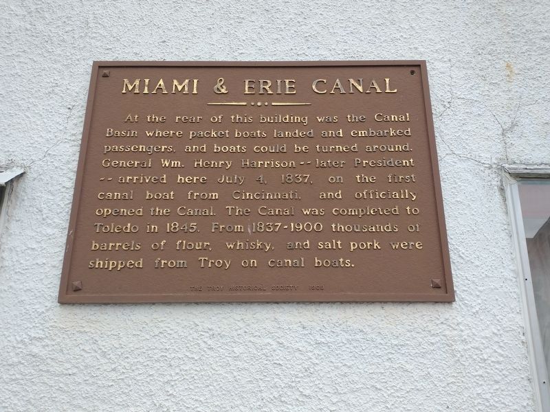
Photographed by Craig Doda, June 2, 2022
1. Miami & Erie Canal Marker
Erected 1969 by The Troy Historical Society.
Topics and series. This historical marker is listed in these topic lists: Government & Politics • Industry & Commerce • Waterways & Vessels. In addition, it is included in the Former U.S. Presidents: #09 William Henry Harrison, and the The Miami & Erie Canal series lists. A significant historical date for this entry is July 4, 1837.
Location. 40° 2.242′ N, 84° 12.256′ W. Marker is in Troy, Ohio, in Miami County. It is on East Canal Street east of South Market Street (Ohio Route 55), on the right when traveling east. Touch for map. Marker is at or near this postal address: 12 E Canal St, Troy OH 45373, United States of America. Touch for directions.

Regionally,
this page online
Other nearby markers. At least 8 other markers are within walking distance of this marker: A different marker also named WACO History (about 500 feet away); Troy Presbyterian Church (about 500 feet away); Troy's Public Square & Third Courthouse (about 800 feet away); Courthouses and Jail (approx. 0.2 miles away); Sheriff’s House and Jail (approx. 0.2 miles away); LFWB&G Building (approx. 0.2 miles away); The John Kitchen House 1847 (approx. ¼ mile away); These Stones… (approx. ¼ mile away). Touch for a list and map of all markers in Troy.
Another marker is no longer nearby. WACO History (was about 500 feet away, measured in a direct line but has been replaced with another marker now near it).
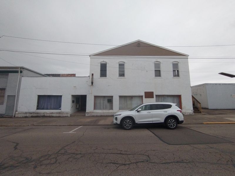
Photographed by Craig Doda, June 2, 2022
2. Miami & Erie Canal Marker
Credits. This page was last revised on June 10, 2022. It was originally submitted on June 5, 2022, by Craig Doda of Napoleon, Ohio. This page has been viewed 328 times since then and 49 times this year. Photos: 1, 2. submitted on June 5, 2022, by Craig Doda of Napoleon, Ohio. • Devry Becker Jones was the editor who published this page.
