South Kansas City in Jackson County, Missouri — The American Midwest (Upper Plains)
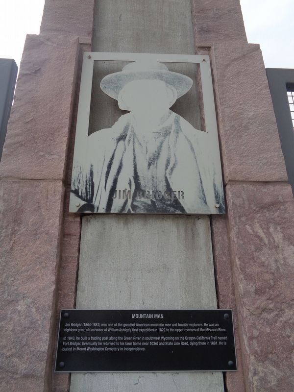
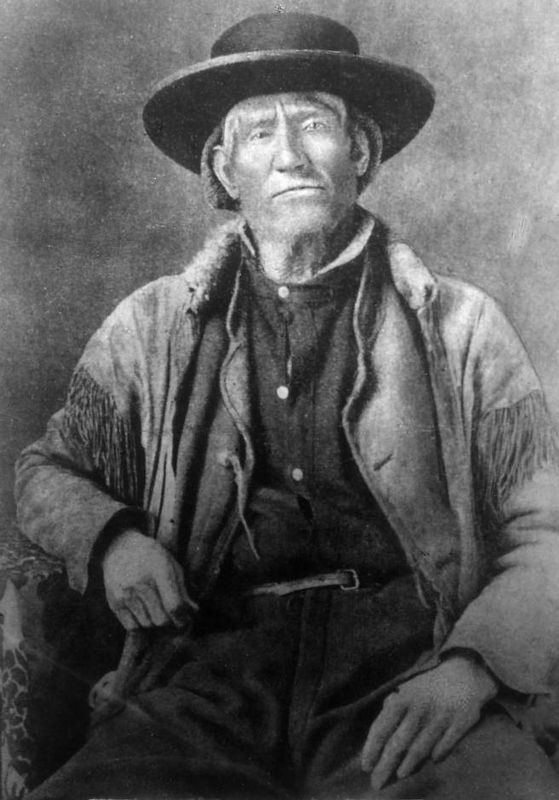
Jim Bridger
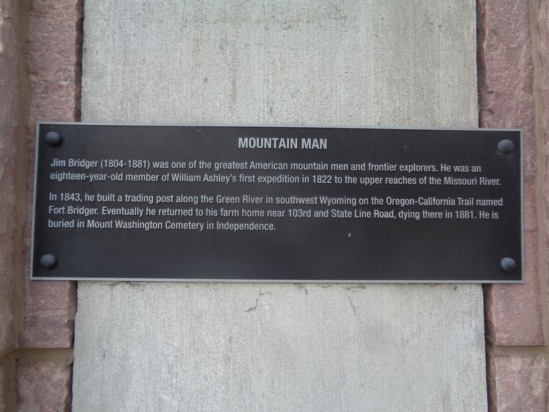
Mountain Man
In 1843, he built a trading post along the Green River in southwest Wyoming on the Oregon-California Trail named Fort Bridger. Eventually he returned to his farm home near 103rd and State Line Road, dying there in 1881. He is buried in Mount Washington Cemetery in Independence.
Topics. This historical marker is listed in these topic lists: Industry & Commerce • Waterways & Vessels. A significant historical year for this entry is 1822.
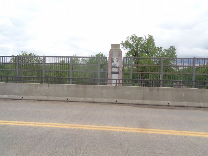
Location. 38° 55.521′ N, 94° 34.402′ W. Marker is in Kansas City, Missouri, in Jackson County. It is in South Kansas City. Marker is on East Red Bridge Road, on the right when traveling east. Touch for map. Marker is at or near this postal address: 1590 E Red Bridge Rd, Kansas City MO 64131, United States of America. Touch for directions.
Other nearby markers. At least 8 other markers are within walking distance of this marker. Alexander Majors (a few steps from this marker); James Beckwourth (within shouting distance of this marker); Amache Prowers (within shouting distance of this marker); Hiram Young (within shouting distance of this marker); Kit Carson (within shouting distance of this marker); Trails Before Highways (within shouting distance of this marker); River Crossings and Red Bridges (about 400 feet away, measured in a direct line); Trail Hazards (about 600 feet away). Touch for a list and map of all markers in Kansas City.
Also see . . . Jim Bridger on Wikipedia. (Submitted on June 6, 2022, by Jason Voigt of Glen Carbon, Illinois.)
Credits. This page was last revised on February 10, 2023. It was originally submitted on June 6, 2022, by Jason Voigt of Glen Carbon, Illinois. This page has been viewed 330 times since then and 70 times this year. Photos: 1, 2, 3, 4. submitted on June 6, 2022, by Jason Voigt of Glen Carbon, Illinois.


