South Kansas City in Jackson County, Missouri — The American Midwest (Upper Plains)
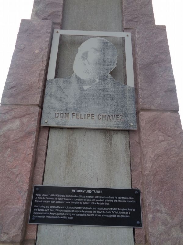
Don Felipe Chavez
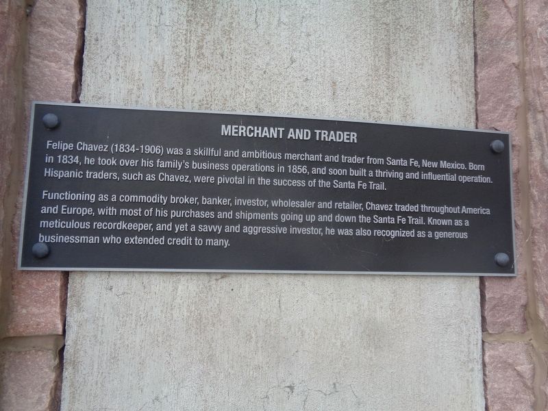
Merchant and Trader
Functioning as a commodity broker, banker, investor, wholesaler and retailer, Chavez traded throughout America and Europe, with most of his purchases and shipments going up and down the Santa Fe Trail. Known as a meticulous recordkeeper, and yet a savvy and aggressive investor, he was also recognized as a generous businessman who extended credit to many.
Topics. This historical marker is listed in these topic lists: Hispanic Americans • Industry & Commerce • Roads & Vehicles. A significant historical year for this entry is 1834.
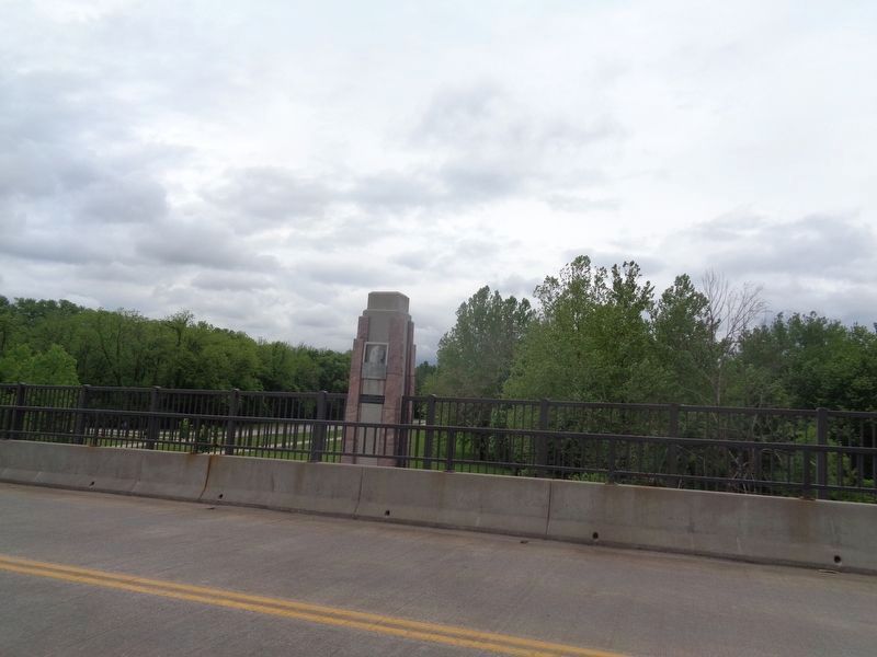
Location. 38° 55.532′ N, 94° 34.225′ W. Marker is in Kansas City, Missouri, in Jackson County. It is in South Kansas City. Marker is on Red Bridge Road, on the right when traveling east. Touch for map. Marker is in this post office area: Kansas City MO 64131, United States of America. Touch for directions.
Other nearby markers. At least 8 other markers are within walking distance of this marker. Alexander Doniphan (a few steps from this marker); Susan Magoffin (within shouting distance of this marker); John Calvin McCoy (within shouting distance of this marker); People and the Trails (within shouting distance of this marker); River Crossings and Red Bridges (about 500 feet away, measured in a direct line); Trails Before Highways (about 600 feet away); Hiram Young (about 700 feet away); Kit Carson (about 800 feet away). Touch for a list and map of all markers in Kansas City.
Credits. This page was last revised on February 10, 2023. It was originally submitted on June 6, 2022, by Jason Voigt of Glen Carbon, Illinois. This page has been viewed 714 times since then and 45 times this year. Photos: 1, 2, 3. submitted on June 6, 2022, by Jason Voigt of Glen Carbon, Illinois.


