Lockington in Shelby County, Ohio — The American Midwest (Great Lakes)
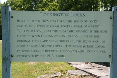
Lockington Locks
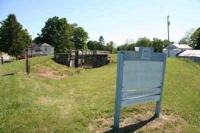
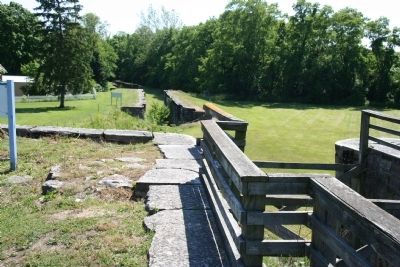
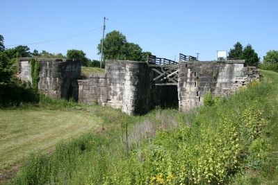
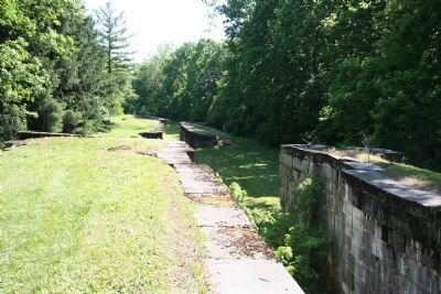
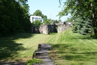
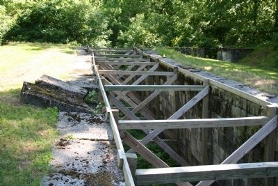
Built between 1825 and 1845, this series of locks raised and lowered canal boats a total of 67 feet. The upper lock, near the "Loramie Summit," is the high point between Cincinnati and Toledo. Five of the original locks are along the trail; the sixth is out of sight across Loramie Creek. The Miami & Erie Canal provided service between Cincinnati and Toledo until destroyed by the 1913 flood.
Erected by The Ohio Historical Society.
Topics and series. This historical marker is listed in these topic lists: Industry & Commerce • Man-Made Features • Waterways & Vessels. In addition, it is included in the The Miami & Erie Canal series list. A significant historical year for this entry is 1825.
Location. 40° 12.446′ N, 84° 14.133′ W. Marker is in Lockington, Ohio, in Shelby County. Marker can be reached from Museum Trail, 0.1 miles south of Sitting Bull Trail. This historical marker is very close to the Ohio Historical Society's property at the Piqua Historic Area, which is located on North Hardin Road. From the intersection of state route 66 and North Hardin Road, travel north on North Hardin Road for approximately 2.3 miles, where North Hardin Road ends at Fessler Buxton Road. Turn right onto Fessler Buxton Road and head east, about 0.2 miles and then bear to the right at the fork in the road. From the fork in the road proceed 0.4 miles more and you will come to the Lockington Locks, in the middle of the vallage of Lockington, Ohio. Touch for map. Marker is in this post office area: Piqua OH 45356, United States of America. Touch for directions.
Other nearby markers. At least 8 other markers are within 3 miles of this marker, measured as the crow flies. Lockington Dam (approx. 0.6 miles away); Miami and Erie Canal (approx. 2 miles away); Site of Smokehouse (approx. 2.3 miles away); The Fruit Kiln (approx. 2.3 miles away); The Courtyard (approx. 2.3 miles away); The Cider House (approx. 2.3 miles away); Johnston Barn (approx. 2.3 miles away); Prehistoric Indian Mound (approx. 2.4 miles away).
Also see . . .
1. Lockington Locks. Wikipedia entry (Submitted on July 17, 2022, by Larry Gertner of New York, New York.)
2. Lockington Locks. Ohio History Connection website entry (Submitted on July 17, 2022, by Larry Gertner of New York, New York.)
3. Miami and Erie Canal. Ohio History Central website entry (Submitted on June 14, 2009, by Dale K. Benington of Toledo, Ohio.)
Credits. This page was last revised on July 17, 2022. It was originally submitted on June 14, 2009, by Dale K. Benington of Toledo, Ohio. This page has been viewed 1,831 times since then and 25 times this year. Photos: 1, 2, 3, 4, 5, 6, 7. submitted on June 14, 2009, by Dale K. Benington of Toledo, Ohio. • Craig Swain was the editor who published this page.
