Danville in Contra Costa County, California — The American West (Pacific Coastal)
Sentinel Rock Overlook
A Place Where Sandstone Beds Were Turned On End
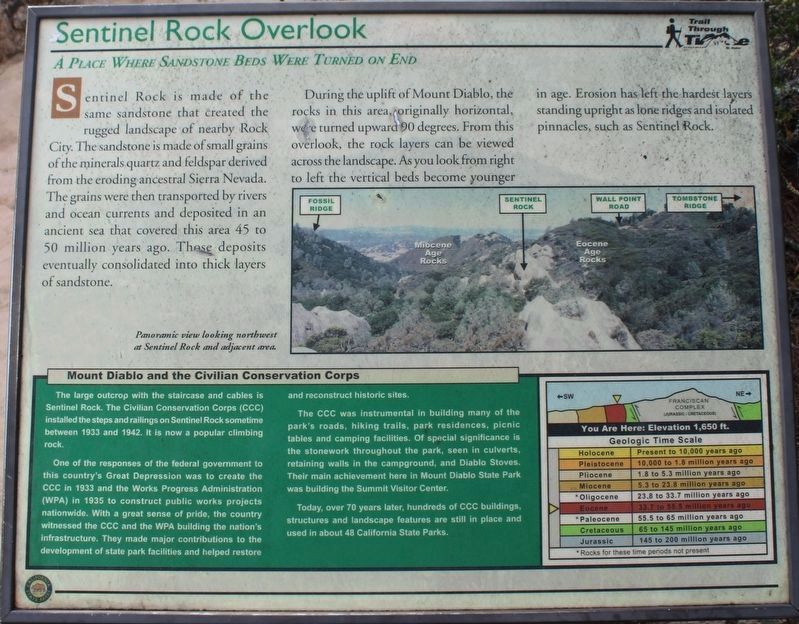
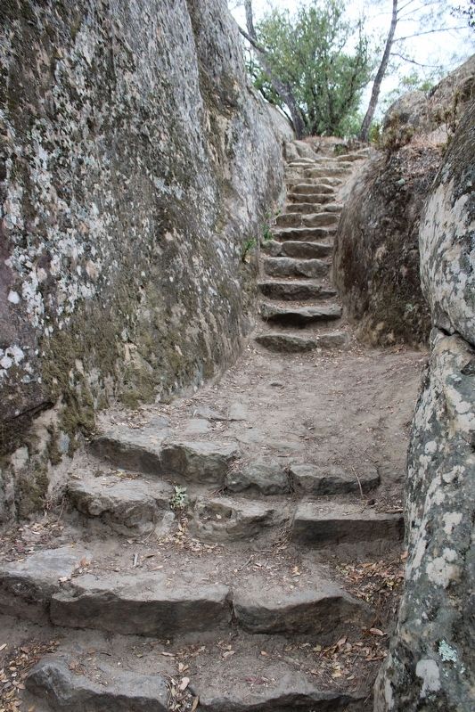
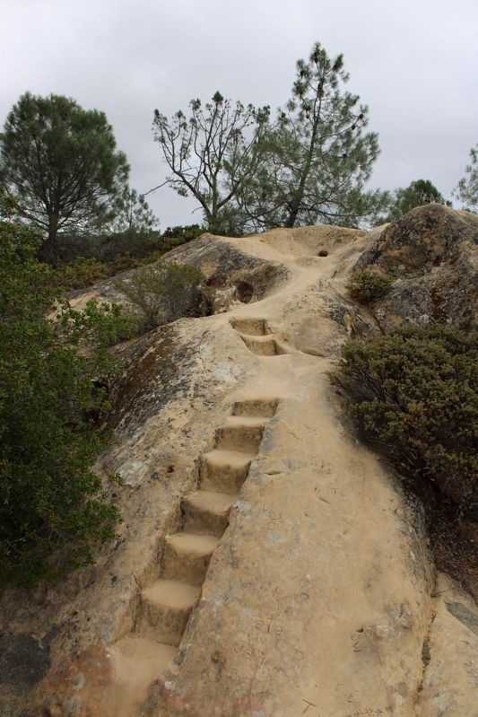
One of the responses of the federal government to this country’s Great Depression was to create the CCC in 1933 and the Works Progress Administration (WPA) in 1935 to construct public works projects nationwide. With a great sense of pride, the country witnessed the CCC and the WPA building the nation’s infrastructure. They made major contributions to the development of state park facilities and helped restore and reconstruct historic sites.
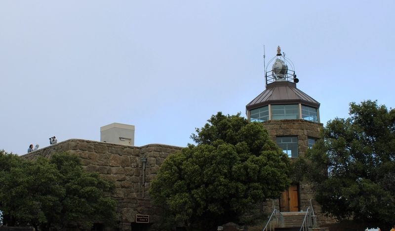
The CCC was instrumental in building many of the park’s roads, hiking trails, park residences, picnic tables and camping facilities. Of special significance is the stonework throughout the park, seen in culverts, retaining walls in the campground, and Diablo Stoves. Their main achievement here in Mount Diablo State Park was building the Summit Visitor Center.
Today, over 70 years later, hundreds of CCC buildings, structures and landscape features are still in place and used in about 48 California State Parks.
Sentinel Rock Overlook
A Place Where Sandstone Beds Were Turned on End
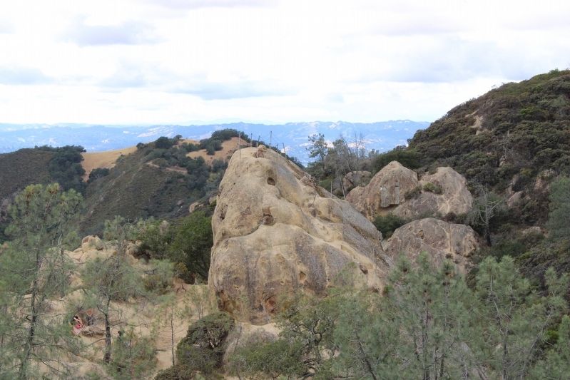
Sentinel Rock is made of the same sandstone that created the rugged landscape of nearby Rock City. The sandstone is made of small grains of mineralized quartz and feldspar derived from the eroding ancestral Sierra Nevada. The grains were then transported by rivers and ocean currents and deposited in an ancient sea that covered the area 45 to 50 million years ago. Those deposits eventually consolidated into thick layers of sandstone.
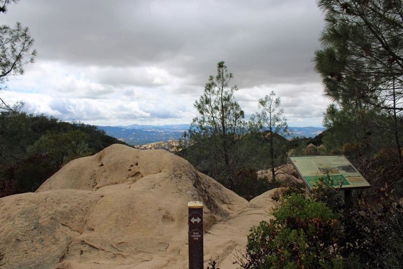
During the uplift of Mount Diablo, the rocks in this area, originally horizontal, were turned upward 9 degrees. From this overlook, the rock layers can be viewed across the landscape. As you look from right to left the vertical beds become younger in age. Erosion has left the hardest layers standing upright as lone ridges and isolated pinnacles, such as Sentinel Rock.
Erected by California Department of Parks & Recreation.
Topics and series. This historical marker is listed in these topic lists: Charity & Public Work • Environment • Parks & Recreational Areas. In addition, it is included in the Civilian Conservation Corps (CCC) series list. A significant historical year for this entry is 1933.
Location. 37° 51.11′ N, 121° 56.078′ W. Marker is in Danville, California, in Contra Costa County. Marker can be reached from Rock City Trail. The marker is mounted to a metal stand on The Trail Through Time where it intersects with the Civilian Conservation Corps Trail, in the Rock City area north of South Gate Road inside Mount Diablo State Park. Touch for map. Marker is in this post office area: Danville CA 94506, United States of America. Touch for directions.
Other nearby markers. At least 8 other markers are within 3 miles of this marker, measured as the crow flies. Turritella Snail Bed (about 500 feet away, measured in a direct line); Indian Grinding Holes (about 600 feet away); Blackhawk Ranch Quarry (approx. 0.2 miles away); Mount Diablo State Park (approx. 2.2 miles away); What Are Those Towers For? (approx. 2.2 miles away); Whitegate Farm (approx. 2.3 miles away); Mt Diablo State Park (approx. 2.3 miles away); Mount Diablo (approx. 2.3 miles away). Touch for a list and map of all markers in Danville.
More about this marker. This marker is part of the Trail Through Time series.
Also see . . .
1. Mount Diablo State Park.
"Mount Diablo is a dominant topographic feature in northern California. It was established in 1851 as the initial point of the Mount Diablo Base Line and Meridian for land surveys spanning two-thirds of California and all of Nevada. The mountain’s summit boasts spectacular panoramic views."(Submitted on June 8, 2022, by Joseph Alvarado of Livermore, California.)
2. Trail Through Time.
"With 20 trailside interpretive panels, the complete Trail is 6.25 miles in length with a vertical elevation gain of 2,940 feet."(Submitted on June 9, 2022, by Joseph Alvarado of Livermore, California.)
Additional commentary.
1. National Natural Landmark
In recognition of the mountain’s importance to our natural landscape, a state park was established in 1931. It was designated a National Natural Landmark by the National Park Service in 1982.
— Submitted June 8, 2022, by Joseph Alvarado of Livermore, California.
Credits. This page was last revised on June 11, 2022. It was originally submitted on June 8, 2022, by Joseph Alvarado of Livermore, California. This page has been viewed 792 times since then and 109 times this year. Photos: 1, 2, 3, 4, 5, 6. submitted on June 8, 2022, by Joseph Alvarado of Livermore, California. • Syd Whittle was the editor who published this page.
