Thunder Bay in Thunder Bay District, Ontario — Central Canada (North America)
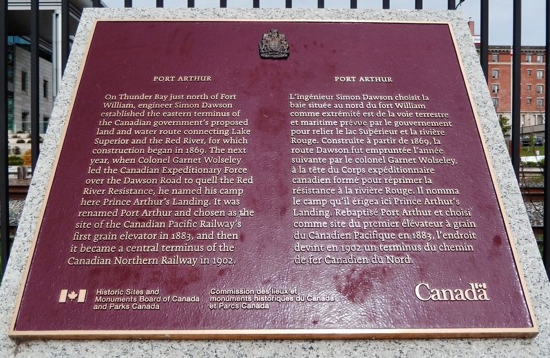
Port Arthur
Erected by Historic Sites and Monuments Board of Canada and Parks Canada/Commission des lieux et monuments historiques du Canada et Parcs Canada.
Topics and series. This historical marker is listed in these topic lists: Industry & Commerce • Railroads & Streetcars • Settlements & Settlers • Waterways & Vessels. In addition, it is included in the Canada, Historic Sites and Monuments Board series list. A significant historical year for this entry is 1869.
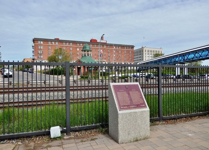
Location. 48° 26.05′ N, 89° 13.059′ W. Marker is in Thunder Bay, Ontario, in Thunder Bay District. Marker can be reached from Sleeping Giant Parkway, 0.4 kilometers north of Pearl Street, on the left when traveling north. Marker is located on the south side of the Baggage Building Arts Centre, overlooking Red River Road and North Water Street to the west. Touch for map. Marker is at or near this postal address: 2200 Sleeping Giant Parkway, Thunder Bay ON P7A 0E7, Canada. Touch for directions.
Other nearby markers. At least 8 other markers are within walking distance of this marker. The Railway (here, next to this marker); Red River Road (a few steps from this marker); Canadian Northern Railway Station (within shouting distance
of this marker); Thunder Bay Tourist Pagoda (within shouting distance of this marker); The Tourist Pagoda (within shouting distance of this marker); Port Arthur and its Harbour (within shouting distance of this marker); Canadian Navy (about 90 meters away, measured in a direct line); Industry (about 120 meters away). Touch for a list and map of all markers in Thunder Bay.
Also see . . . Port Arthur, Ontario.
Port Arthur and Fort William amalgamated in 1970 and became the City of Thunder Bay. Port Arthur had been the district seat of Thunder Bay District. It is historically notable as a temporary (1882–1885) eastern terminus of the Canadian Pacific Railway. It served as a major transshipment point for lakers that carried cargo to Port Arthur from across the Great Lakes. The Canadian Northern Railway was constructed to serve the port, and it built numerous grain silos to supply lakers. This rail and grain trade diminished in the latter half of the 20th century.(Submitted on June 10, 2022, by Cosmos Mariner of Cape Canaveral, Florida.)
Credits. This page was last revised on July 11, 2023. It was originally submitted on June 10, 2022, by Cosmos Mariner of Cape Canaveral, Florida. This page has been viewed 229 times since then and 30 times this year. Photos: 1, 2. submitted on June 10, 2022, by Cosmos Mariner of Cape Canaveral, Florida.

