Near Manassas in Prince William County, Virginia — The American South (Mid-Atlantic)
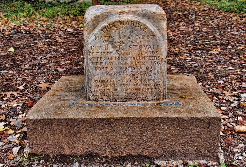
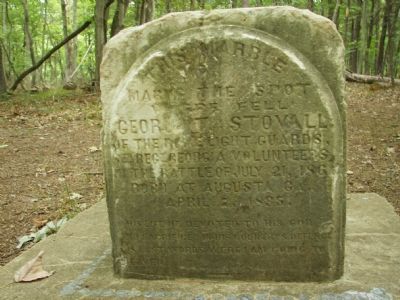
George T. Stovall
His life he devoted to his God and sacrificed in his country's defence.
His last words were I am going to heaven.
Topics. This historical marker is listed in this topic list: War, US Civil. A significant historical month for this entry is April 1650.
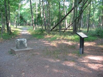
Location. 38° 49.609′ N, 77° 31.688′ W. Marker is near Manassas, Virginia, in Prince William County. Marker can be reached from Sudley Road (Virginia Route 234). It’s located in a wooded section of the Matthews Trail in the Manassas National Battlefield Park. Touch for map. Marker is in this post office area: Nellysford VA 22958, United States of America. Touch for directions.
Other nearby markers. At least 8 other markers are within walking distance of this marker. 8th Georgia Infantry (within shouting distance of this marker); 71st New York State Militia (about 300 feet away, measured in a direct line); 2nd New Hampshire Infantry (about 500 feet away); The Matthew Farm (about 600 feet away); U.S. Infantry Battalion (about 700 feet away); 4th Alabama Infantry (about 700 feet away); 2nd Rhode Island Infantry (approx. 0.2 miles away); Rhode Island Battery (approx. ¼ mile away). Touch for a list and map of all markers in Manassas.
Additional keywords. Battle of First Manassas, First Battle of Bull Run
Credits. This page was last revised on January 10, 2019. It was originally submitted on August 5, 2007, by Amy Krueger of Falls Church, Virginia. This page has been viewed 2,882 times since then and 50 times this year. Photos: 1. submitted on January 6, 2019, by Cary Thomas Stovall Sr of Blue Ridge, Georgia. 2. submitted on August 5, 2007, by Amy Krueger of Falls Church, Virginia. 3. submitted on July 15, 2008, by Craig Swain of Leesburg, Virginia. 4. submitted on July 16, 2008, by Craig Swain of Leesburg, Virginia. • J. J. Prats was the editor who published this page.


