Livermore in Alameda County, California — The American West (Pacific Coastal)
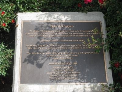
Sister City Program
Photographed by Syd Whittle, June 13, 2009
1. Sister City Program Marker
governments in letting the people themselves give expression of their common
desire for friendship, goodwill and cooperation for a better world for all”
President Dwight D. Eisenhower (circa 1956)
On Monday, August 23, 1999, the City of Livermore’s City Council dedicated
Sister City Park as a gesture of friendship and goodwill to its sister cities.
“The flags from our sister cities will be flown with our City flag from this day
forward in honor of world peace.”
Mayor Cathie Brown
Livermore City Council, 1999
Cathie Brown, Mayor • John Stein, Vice Mayor • Lorraine Dietrich, Councilmember • Tom Reitter, Councilmember • Tom Vargas, Councilmember
Erected 1999 by Livermore City Council.
Topics and series. This historical marker is listed in these topic lists: Government & Politics • Peace. In addition, it is included in the Former U.S. Presidents: #34 Dwight D. Eisenhower series list. A significant historical year for this entry is 1999.
Location. 37° 41.776′ N, 121° 49.037′ W. Marker is in Livermore,
this page online

Regionally, this marker is in California’s San Francisco Bay Area and on the Coast Ranges. It is also on the American Pacific Coast. Globally, it is in North America, on the Ring of Fire, in the Pacific Rim, in the Western Hemisphere, in the Western World, and in the Anglosphere. Historically, it finds itself in what was once New Spain and also Mexico’s Alta California.
Other nearby markers. At least 8 other markers are within 3 miles of this marker, measured as the crow flies: Tolliver Airship (about 400 feet away, measured in a direct line); Pico-Bernal House (approx. 1½ miles away); The Brickyard (approx. 2.2 miles away); Steven Ferrario House (approx. 2.3 miles away); Duarte Garage (approx. 2.3 miles away); a different marker also named Duarte Garage (approx. 2.3 miles away);
Photographed by Syd Whittle, June 13, 2009
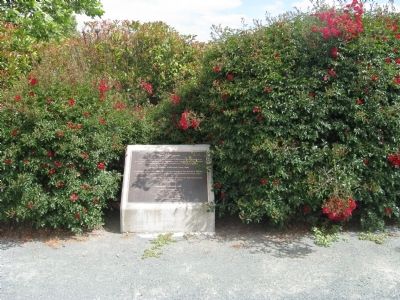
2. Sister City Program Marker
Also see . . .
1. Wikipedia Article – Yotsukaido, Japan. (Submitted on June 14, 2009, by Syd Whittle of Mesa, Arizona.)
2. Wikipedia Article – Snezhinsk, Russia. (Submitted on June 14, 2009, by Syd Whittle of Mesa, Arizona.)
3. Wikipedia Article – Quetzaltenango, Guatemala. (Submitted on June 14, 2009, by Syd Whittle of Mesa, Arizona.)
Photographed by Syd Whittle, June 13, 2009
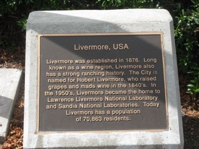
3. Livermore
Livermore was established in 1876. Long known as a wine region, Livermore also has a strong ranching history. The City is named for Robert Livermore, who raised grapes and made wine in the 1840's. In the 1850's, Livermore became the home to Lawrence Livermore National Laboratory and Sandia National Laboratories. Today Livermore has a population of 70,863 residents.
Photographed by Syd Whittle, June 13, 2009
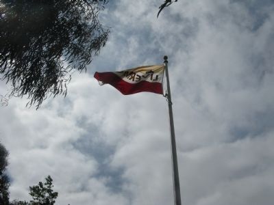
4. Livermore City Flag

Photographed by Syd Whittle, June 13, 2009
5. Livermore Sister City Bench
Photographed by Syd Whittle, June 13, 2009
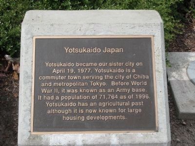
6. Yotsukaido, Japan
Yotsukaido became our sister city on April 19, 1977. Yotsukaido is a commuter town serving the City of Chiba and metropolitan Tokyo. Before World War II, it was known as an Army base. It had a population of 71,764 as of 1996. Yotsukaido has an agricultural past although it is now known for large housing developments.
Photographed by Syd Whittle, June 13, 2009
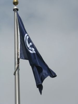
7. Yotsukaido City Flag
Photographed by Syd Whittle, June 13, 2009
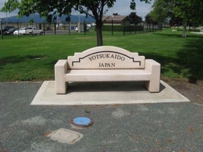
8. Yotsukaido Sister City Bench
Photographed by Syd Whittle, June 13, 2009
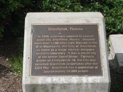
9. Snezhinsk, Russia
In 1998, Livermore adopted its newest sister city, Snezhinsk, Russia. Situated more than 1,200 miles from Moscow in the Ural Mountains, the City of Snezhinsk is home to a major nuclear weapons research laboratory. It was a secret city of the former Soviet Union. Formerly known as Chelyabinsk-70, the City was renamed Snezhinsk (snowflake) after the Cold War. Snezhinsk has a population of approximately 59,000 people.
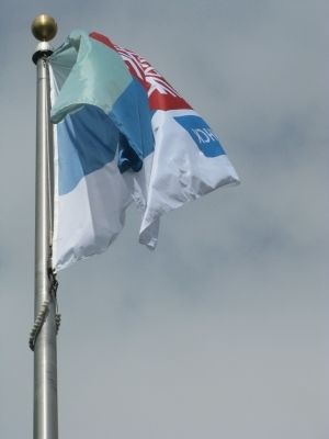
Photographed by Syd Whittle, June 13, 2009
10. Snezhinsk City Flag
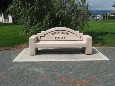
Photographed by Syd Whittle, June 13, 2009
11. Snezhinsk Sister City Bench
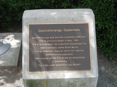
Photographed by Syd Whittle, June 13, 2009
12. Quetzaltenango, Guatemala
The relationship began in May, 1965.
The City is located 125 miles from Guatemala City near a volcano called Santa Maria.
It is an important regional center for industry, commerce and education.
Quetzaltenango has five of the six universities in Guatemala.
The 1994 urban population was 90,801.
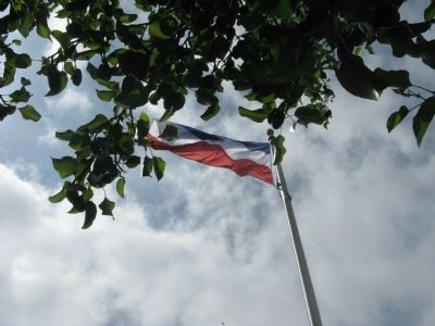
Photographed by Syd Whittle, June 13, 2009
13. Quetzaltenango City Flag
Photographed by Syd Whittle, June 13, 2009
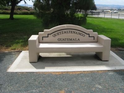
14. Quetzaltenango Sister City Bench
Credits. This page was last revised on June 16, 2016. It was originally submitted on June 14, 2009, by Syd Whittle of Mesa, Arizona. This page has been viewed 2,382 times since then and 42 times this year. Photos: 1, 2, 3, 4, 5, 6, 7, 8, 9, 10, 11, 12, 13, 14. submitted on June 14, 2009, by Syd Whittle of Mesa, Arizona.
