Near Rowlesburg in Preston County, West Virginia — The American South (Appalachia)
Tray Run Viaduct
1852
— Engineers Benjamin Latrobe and Albert Fink —
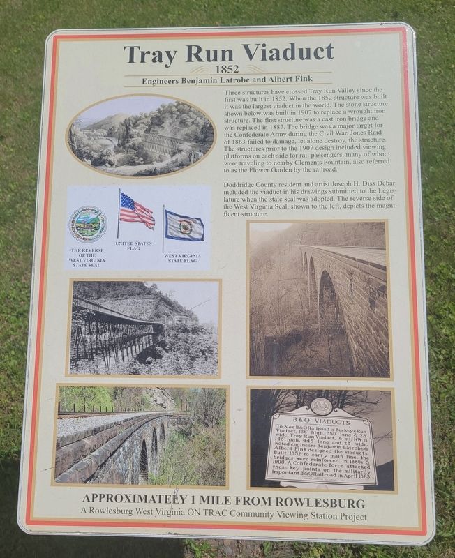
Three structures have crossed Tray Run Valley since the first was built in 1852. When the 1852 structure was built it was the largest viaduct in the world. The stone structure shown below was built in 1907 to replace a wrought iron structure. The first structure was a cast iron bridge and was replaced in 1887. The bridge was a major target for the Confederate Army during the Civil War. Jones Raid of 1863 failed to damage, let alone destroy, the structure. The structures prior to the 1907 design included viewing platforms on each side for rail passengers, many of whom were traveling to nearby Clements Fountain, also referred to as the Flower Garden by the railroad.
Doddridge County resident and artist Joseph H. Diss Debar included the viaduct in his drawings submitted to the Legislature when the state seal was adopted. The reverse side of the West Virginia Seal, shown to the left, depicts the magnificent structure.
Approximately 1 mile from Rowlesburg
[Captions]:
United States flag
The reverse of the West Virginia State Seal
West Virginia State flag
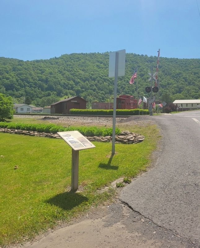
Erected 2016 by Rowlesburg West Virginia ON TRAC Community Viewing Station.
Topics. This historical marker is listed in these topic lists: Bridges & Viaducts • War, US Civil. A significant historical year for this entry is 1852.
Location. 39° 20.797′ N, 79° 40.209′ W. Marker is near Rowlesburg, West Virginia, in Preston County. Marker is on South Buffalo Street (West Virginia Route 72) north of Chestnut Street, on the right when traveling north. Marker is on the north side of the railroad tracks. Touch for map. Marker is at or near this postal address: 28 South Buffalo Street, Rowlesburg WV 26425, United States of America. Touch for directions.
Other nearby markers. At least 8 other markers are within walking distance of this marker. Downtown Rowlesburg (within shouting distance of this marker); Rowlesburg Veterans Memorial (within shouting distance of this marker); Independent Order of Odd Fellows Building and Property (within shouting distance of this marker); Civil War Memorial (within shouting distance of this marker); The Great Flood of November 4-5, 1985 (about 300 feet away, measured in a direct line); 32 South Church Street (about 300 feet away); 34 South Church Street (about 300 feet away); Rowlesburg Area Honor Roll (about 500 feet away). Touch for a list and map of all markers in Rowlesburg.
Credits. This page was last revised on June 11, 2022. It was originally submitted on June 2, 2022, by Bradley Owen of Morgantown, West Virginia. This page has been viewed 649 times since then and 48 times this year. Last updated on June 11, 2022, by Bradley Owen of Morgantown, West Virginia. Photos: 1, 2, 3. submitted on June 2, 2022, by Bradley Owen of Morgantown, West Virginia. • J. Makali Bruton was the editor who published this page.


