La Vale in Allegany County, Maryland — The American Northeast (Mid-Atlantic)
"The Gateway to the West"
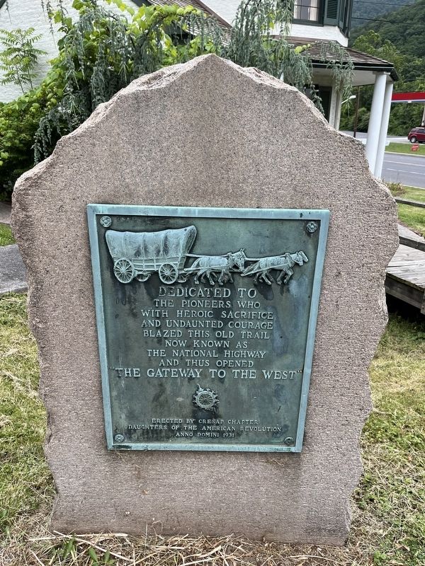
the pioneers who
with heroic sacrifice
and undaunted courage
blazed this old trail
now known as
the National Highway
and thus opened
"The Gateway to the West"
Erected 1931 by Cresap Chapter, Daughters of the American Revolution.
Topics and series. This historical marker is listed in these topic lists: Roads & Vehicles • Settlements & Settlers. In addition, it is included in the Daughters of the American Revolution (DAR), and the The Historic National Road series lists.
Location. 39° 38.273′ N, 78° 51.128′ W. Marker is in La Vale, Maryland, in Allegany County. It is on National Highway (Alternate U.S. 40) 0.4 miles west of Winchester Road (Maryland Route 53), on the left when traveling west. Touch for map. Marker is at or near this postal address: 14305 National Hwy, Cumberland MD 21502, United States of America. Touch for directions.

Regionally, this marker is in Western Maryland. It is also in the American Mid-Atlantic, in Appalachia, and specifically in Northern Appalachia. Globally, it is in North America, the Western Hemisphere,
this page online
Other nearby markers. At least 8 other markers are within 2 miles of this marker, measured as the crow flies: A different marker also named The La Vale Toll House (a few steps from this marker); First Toll Gate House (within shouting distance of this marker); The Cumberland Barrack (approx. 1.2 miles away); “Spendelow Camp” (approx. 1.2 miles away); Veterans Memorial (approx. 1½ miles away); a different marker also named Veterans Memorial (approx. 1½ miles away); Clarysville General Hospital (approx. 2 miles away); The National Road (approx. 2 miles away). Touch for a list and map of all markers in La Vale.
Other markers no longer nearby. The La Vale Toll House (was a few steps from this marker but has been replaced with another marker now near it); a different marker also named The La Vale Toll House (was within shouting distance of this marker but has been replaced with another marker now near it).
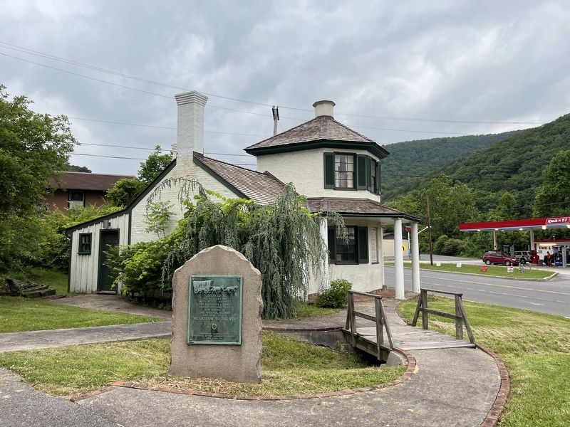
Photographed by Devry Becker Jones (CC0), June 12, 2022
2. "The Gateway to the West" Marker with the La Vale Toll House visible in the background
Credits. This page was last revised on June 13, 2022. It was originally submitted on June 13, 2022, by Devry Becker Jones of Washington, District of Columbia. This page has been viewed 432 times since then and 78 times this year. Photos: 1, 2. submitted on June 13, 2022, by Devry Becker Jones of Washington, District of Columbia.
