Hicksville in Nassau County, New York — The American Northeast (Mid-Atlantic)
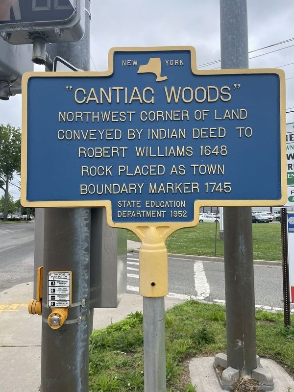
"Cantiag Woods"
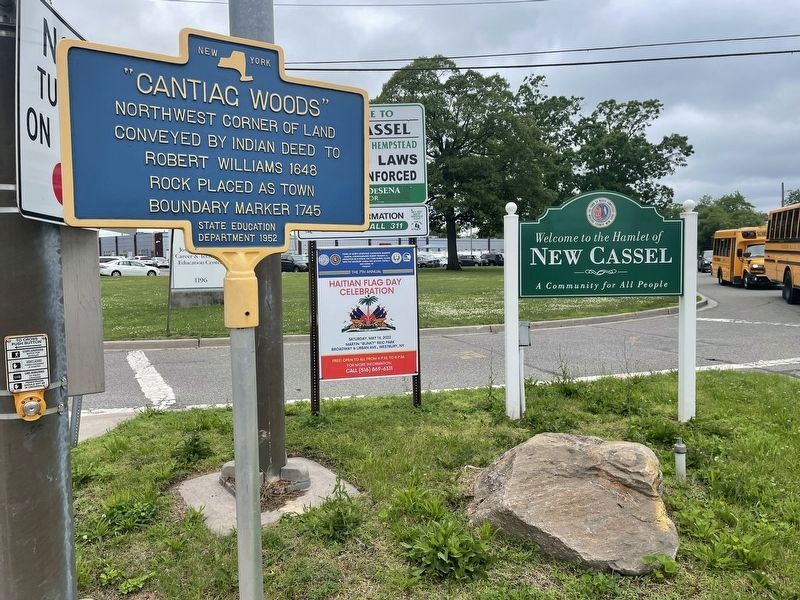
Northwest corner of land conveyed by Indian deed to Robert Williams 1648 Rock placed as town boundary marker 1745
Erected 1952 by Sate Education Department.
Topics. This historical marker is listed in these topic lists: Colonial Era • Native Americans • Settlements & Settlers. A significant historical year for this entry is 1745.
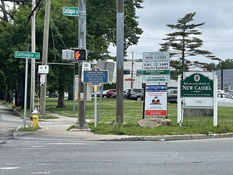
Location. 40° 45.906′ N, 73° 33.043′ W. Marker is in Hicksville, New York, in Nassau County. Marker is at the intersection of Cantiague Lane and W John Street, on the right when traveling south on Cantiague Lane. Touch for map. Marker is in this post office area: Hicksville NY 11801, United States of America. Touch for directions.
Other nearby markers. At least 8 other markers are within 2 miles of this marker, measured as the crow flies. Westbury African Methodist Episcopal Zion Church (approx. 1˝ miles away); Bethel African Methodist Episcopal Church (approx. 1.7 miles away); Robert Bacon Memorial Children's Library (approx. 1.8 miles away); Westbury Friends Meeting House (approx. 1.9 miles away); Westbury World War II Memorial (approx. 1.9 miles away); Westbury World War I Memorial (approx. 1.9 miles away); Westbury World Trade Center Attack Memorial (approx. 1.9 miles away); Westbury Monthly Meeting of the Religious Society of Friends (approx. 1.9 miles away).
Credits. This page was last revised on February 10, 2023. It was originally submitted on June 14, 2022, by Christopher Kirch of Massapequa, New York. This page has been viewed 99 times since then and 12 times this year. Photos: 1, 2, 3. submitted on June 14, 2022, by Christopher Kirch of Massapequa, New York. • Michael Herrick was the editor who published this page.


