Marker Logo
THE HISTORICAL
MARKER DATABASE
“Bite-Size Bits of Local, National, and Global History”
Fort Norfolk , Virginia — The American South (Mid-Atlantic)
 

Fort Norfolk, 1810
 
 
Fort Norfolk, 1810 Marker image. Click for full size.
Photographed by Trevor L Whited, July 30, 2021
1. Fort Norfolk, 1810 Marker
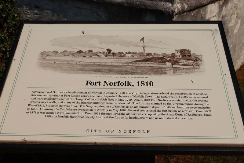
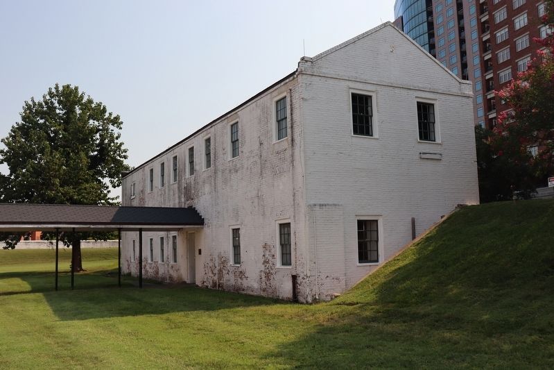
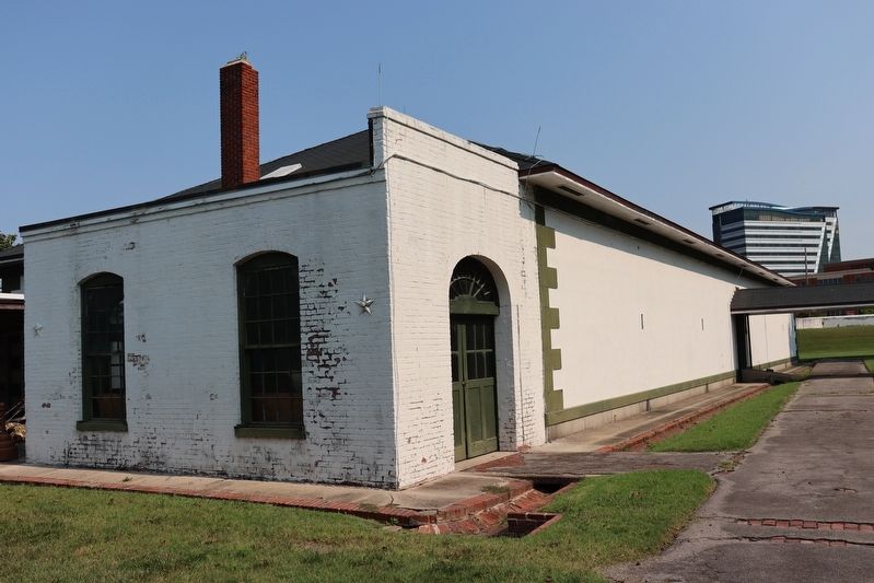
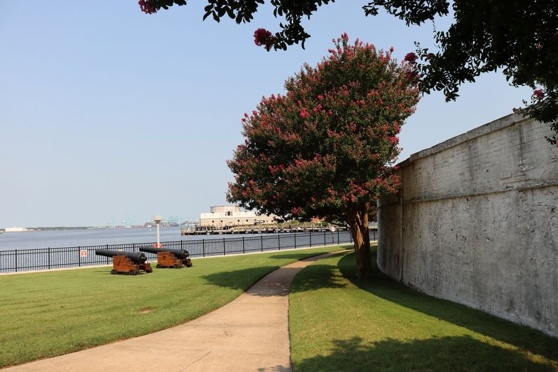
Inscription. Following Lord Dunmore's bombardment of Norfolk in January 1776, The Virginia Legislature ordered the construction of a fort on this site and another at Fort Nelson across the river, to protect the area of Norfolk Town. The forts were not sufficiently manned and were ineffective against Sir George Collier's British fleet in May 1779. About 1810 Fort Norfolk was rebuilt with the present exterior brick walls, and many of the interior buildings were constructed. The fort was manned by the Virginia militia during the War of 1812, but no shots were fired. The Navy acquired use of the fort as an ammunition depot in 1849 and built the large magazine in 1856. Following the Confederate evacuation of Norfolk in May 1862, Federal troops used the fort briefly as a prison. From 1863 to 1878 it was again a Naval installation. From 1921 through 1983 the old fort was occupied by the Army Corp of Engineers. Since 1991 the Norfolk Historical Society has used the fort as its headquarters and as an historical attraction.

(caption)
An artist's rendering of Fort Norfolk as it appeared during the Civil War: Courtesy of Robert Craft

 
Erected by City
Paid Advertisement
Click or scan to see
this page online
Of Norfolk.
 
Topics. This historical marker is listed in these topic lists: Forts and CastlesWar of 1812War, US Civil. A significant historical year for this entry is 1810.
 
Location. 36° 51.384′ N, 76° 18.357′ W. Marker is in Norfolk, Virginia. It is in Fort Norfolk. It can be reached from Front Street west of Colley Avenue when traveling west. Touch for map. Marker is at or near this postal address: 801 Front St, Norfolk VA 23510, United States of America. Touch for directions.

Regionally, this marker is in Virginia’s Hampton Roads, specifically in Coastal Virginia, and in the Hampton Roads Metropolitan Area. It is also in the American South, specifically in the Upper South, in the Tidewater, and on the Eastern Seaboard. Globally, it is in the North Atlantic Region, North America, the Western Hemisphere, the Western World, and the Anglosphere. Historically, it finds itself in what was once the territory of the Mississippian Culture, one of the original Thirteen Colonies, one of the Confederate States of America, and the Antebellum South.

Other nearby markers. At least 8 other markers are within
Fort Norfolk, 1810 Marker image. Click for full size.
Photographed by Trevor L Whited, July 30, 2021
2. Fort Norfolk, 1810 Marker
walking distance of this marker: Fort Norfolk Veterans of the War of 1812 Memorial (within shouting distance of this marker); Development and Architecture of Fort Norfolk (within shouting distance of this marker); Welcome to Historic Fort Norfolk (about 400 feet away, measured in a direct line); a different marker also named Fort Norfolk (about 800 feet away); a different marker also named Fort Norfolk (about 800 feet away); Atlantic City (approx. 0.2 miles away); a different marker also named Welcome to Historic Fort Norfolk (approx. 0.2 miles away); Elizabeth River Restoration (approx. Ό mile away). Touch for a list and map of all markers in Norfolk.
 
Also see . . .  Historic Fort Norfolk. Norfolk Historical Society (Submitted on June 17, 2022.) 
 
Fort Norfolk, 1810 Marker image. Click for full size.
Photographed by Trevor L Whited, July 30, 2021
3. Fort Norfolk, 1810 Marker
Fort Norfolk, 1810 Marker image. Click for full size.
Photographed by Trevor L Whited, July 30, 2021
4. Fort Norfolk, 1810 Marker
 
 
Credits. This page was last revised on February 1, 2023. It was originally submitted on June 16, 2022, by Trevor L Whited of Kokomo, Indiana. This page has been viewed 475 times since then and 17 times this year. Photos:   1, 2, 3, 4. submitted on June 16, 2022, by Trevor L Whited of Kokomo, Indiana. • Bernard Fisher was the editor who published this page.

m=200106

CeraNet Cloud Computing sponsors the Historical Marker Database.
This website earns income from purchases you make after using our links to Amazon.com. We appreciate your support.
Paid Advertisement
Jul. 23, 2026