Independence in Jackson County, Missouri — The American Midwest (Upper Plains)
Trail of Death
Photographed by Jason Voigt, May 23, 2022
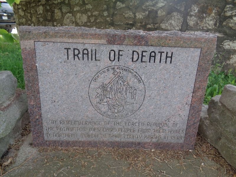
1. Trail of Death Marker
(front:)
In remembrance of the forced removal of the Potawatomi (Neshdabe) people from their homes in northern Indiana to Miami County, Kansas in 1838
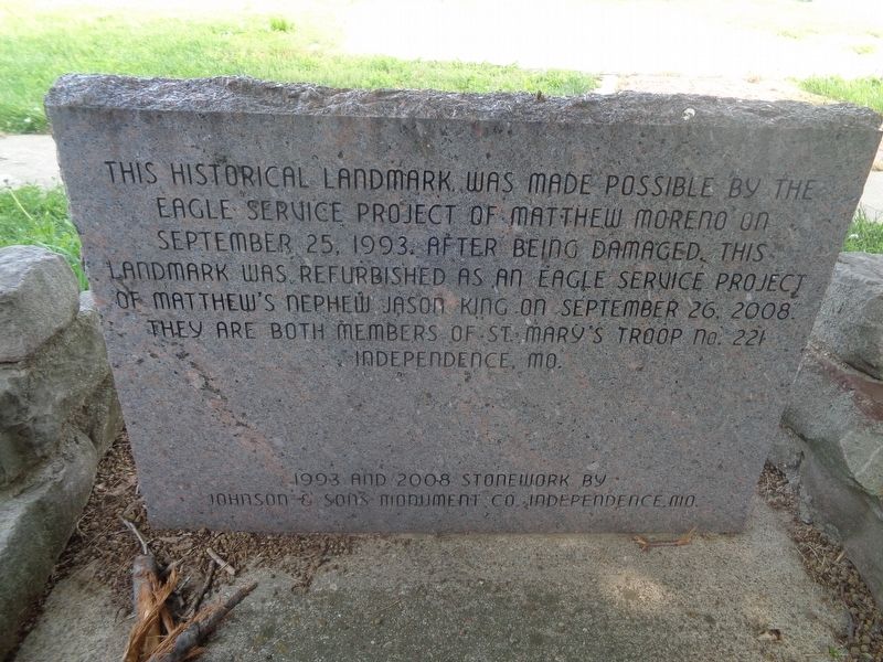
(reverse:)
This historical landmark was made possible by the Eagle service project of Matthew Moreno on September 25, 1993. After being damaged, this landmark was refurbished as an Eagle service project of Matthew's nephew Jason King on September 26, 2008. They are both members of St. Mary's Troop No. 221, Independence, Missouri.
Erected 2008 by Jason King (Eagle Scout service project, Troop No. 221).
Topics and series. This historical marker is listed in this topic list: Indigenous Peoples and Communities. In addition, it is included in the Potawatomi Trail of Death series list. A significant historical year for this entry is 1838.
Location. 39° 5.602′ N, 94° 24.686′ W. Marker is in Independence, Missouri, in Jackson County. It is at the intersection of North Dodgion Street and East Truman Road, on the right when traveling south on North Dodgion Street. Touch for map. Marker is at or near this postal address: 187 N Dodgion St, Independence MO 64050, United States
this page online

Regionally, this marker is in Greater Kansas City. It is also in the American Midwest, in the Lewis & Clark Corridor, in the Corn Belt, and on the Santa Fe Trail Corridor. Globally, it is in North America, the Western Hemisphere, the Western World, and the Anglosphere. Historically, it finds itself in what was once the territory of the Mississippian Culture, the Louisiana Purchase, and the Antebellum South.
Other nearby markers. At least 8 other markers are within walking distance of this marker: Independence Pioneer Spring (a few steps from this marker); Second Baptist Church (approx. 0.2 miles away); Fire Station No. 1 (approx. ¼ mile away); Twyman Hotel - Kenton House (approx. ¼ mile away); Jackson County Marshal's House and Jail Museum (approx. ¼ mile away); Truman's First Job (approx. ¼ mile away); Second Battle of Independence (approx. ¼ mile away); Harpie Club (approx. ¼ mile away). Touch for a list and map of all markers in Independence.
Photographed by Jason Voigt, May 23, 2022
2. Trail of Death Marker
reverse side
Photographed by Jason Voigt, May 23, 2022
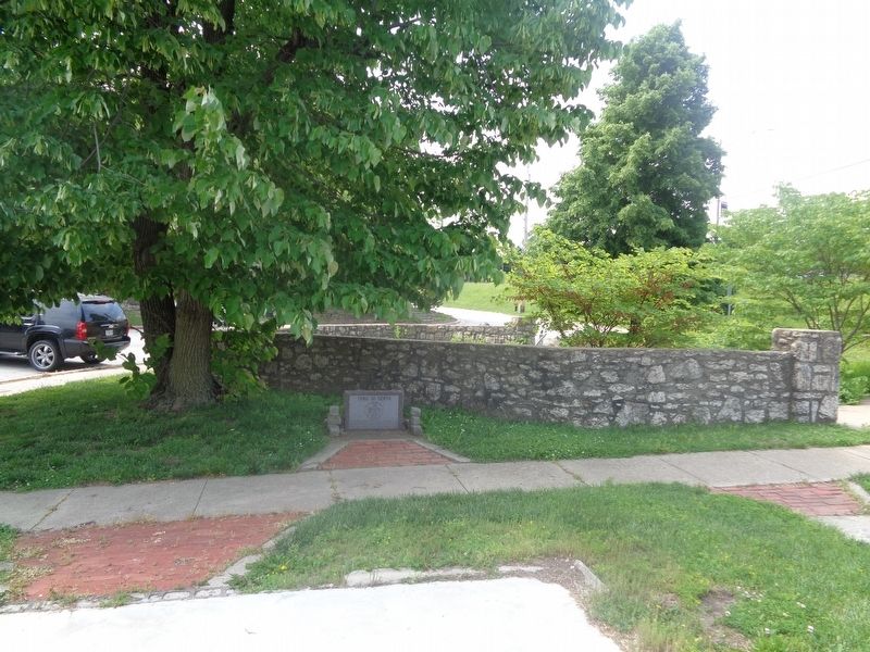
3. Trail of Death Marker
Credits. This page was last revised on June 20, 2022. It was originally submitted on June 17, 2022, by Jason Voigt of Glen Carbon, Illinois. This page has been viewed 444 times since then and 56 times this year. Photos: 1, 2, 3. submitted on June 20, 2022, by Jason Voigt of Glen Carbon, Illinois.
