Rossford in Wood County, Ohio — The American Midwest (Great Lakes)
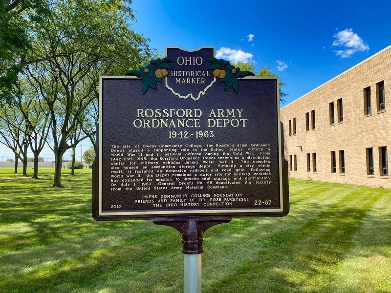
Rossford Army Ordnance Depot
1942-1963
Erected 2015 by Owens Community College Foundation, Friends and Family of Dr. Rose Kuceyeski, and The Ohio History Connection. (Marker Number 22-87.)
Topics and series. This historical marker is listed in these topic lists: Forts and Castles • Roads & Vehicles • War, World I • War, World II. In addition, it is included in the Ohio Historical Society / The Ohio History Connection series list. A significant historical date for this entry is July 1, 1963.
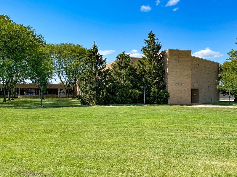
Location. 41° 35.17′ N, 83° 32.482′ W. Marker is in Rossford, Ohio, in Wood County. Marker is on 3rd Street north of Depot Road, on the right when traveling south. The marker stands between Heritage Hall and Veterans Hall on the Owens Community College campus. Touch for map. Marker is at or near this postal address: 310 2nd St, Perrysburg OH 43551, United States of America. Touch for directions.
Other nearby markers. At least 8 other markers are within 3 miles of this marker, measured as the crow flies. City of Rossford (approx. 1.8 miles away); Memorial Parkway (approx. 1.9 miles away); a different marker also named Memorial Parkway (approx. 2 miles away); The Toledo Zoo / The New Deal in Toledo (approx. 2.9 miles away); Emerson (approx. 2.9 miles away); A Prehistoric Fort (approx. 3 miles away); Chimney Swifts (approx. 3 miles away); Ziems Conservatory (approx. 3 miles away). Touch for a list and map of all markers in Rossford.
Credits. This page was last revised on June 26, 2022. It was originally submitted on September 1, 2021, by J.T. Lambrou of New Boston, Michigan. This page has been viewed 822 times since then and 141 times this year. Last updated on June 18, 2022, by Craig Doda of Napoleon, Ohio. Photos: 1, 2. submitted on September 1, 2021, by J.T. Lambrou of New Boston, Michigan. • J. Makali Bruton was the editor who published this page.

