Rose Dhu in Savannah in Chatham County, Georgia — The American South (South Atlantic)
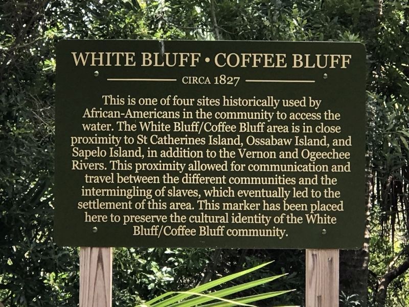
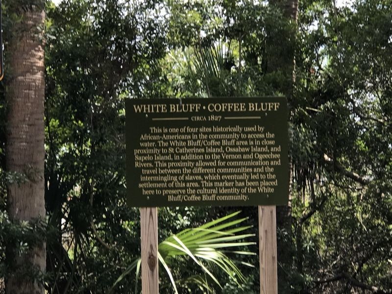
White Bluff Coffee Bluff
Circa 1827
Erected 2019.
Topics. This historical marker is listed in these topic lists: African Americans • Settlements & Settlers • Waterways & Vessels. A significant historical year for this entry is 1827.
Location. 31° 56.272′ N, 81° 8.35′ W. Marker is in Savannah, Georgia, in Chatham County. It is in Rose Dhu. Marker is at the intersection of Rose Dhu Road and Rose Dhu Avenue, on the left when traveling east on Rose Dhu Road. Touch for map. Marker is at or near this postal address: 523 Rose Dhu Rd, Savannah GA 31419, United States of America. Touch for directions.
Other nearby markers. At least 8 other markers are within 3 miles of this marker, measured as the crow flies. A different marker also named White Bluff Coffee Bluff (approx. 0.9 miles away); a different marker also named White Bluff Coffee Bluff (approx. 1.3 miles away); a different marker also named White Bluff Coffee Bluff (approx. 1.3 miles away); Nicholsonboro (approx. 1½ miles away); Beaulieu Plantation (approx. 1.6 miles away); Site of Colonial Shipyard (approx. 1.9 miles away); Vernonburg (approx. 2.2 miles away); Capture of the USS "Water Witch" (approx. 2.2 miles away). Touch for a list and map of all markers in Savannah.
Also see . . .
1. White Bluff, Georgia. Former slaves who had been living on St. Catherines Island which was reserved for freed slaves under General William T. Sherman's Special Field Orders No. 15 moved to White Bluff when a former plantation owner reclaimed the island in 1868. (Submitted on June 18, 2022, by Duane and Tracy Marsteller of Murfreesboro, Tennessee.)
2. White Bluff-Coffee Bluff Community. Mid-20th century photo gallery of residents, buildings and life in the community. (Savannah Municipal Archives) (Submitted on June 18, 2022, by Duane and Tracy Marsteller of Murfreesboro, Tennessee.)
Credits. This page was last revised on February 8, 2023. It was originally submitted on June 18, 2022, by Duane and Tracy Marsteller of Murfreesboro, Tennessee. This page has been viewed 126 times since then and 16 times this year. Photos: 1, 2. submitted on June 18, 2022, by Duane and Tracy Marsteller of Murfreesboro, Tennessee.

