Sterling in Loudoun County, Virginia — The American South (Mid-Atlantic)
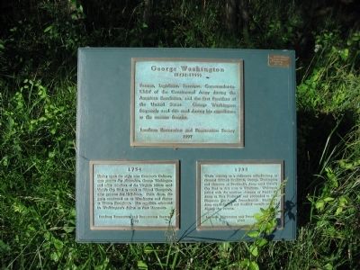
George Washington
(1732-1799)
(1732-1799)
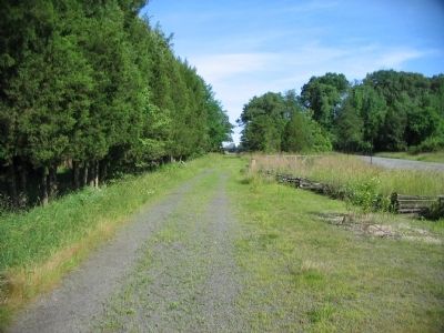
Farmer, Legislator, Surveyor, Commander-in-Chief of the Continental Army during the American Revolution, and the first President of the United States. George Washington frequently used this road during his expeditions to the western frontier.
(Lower Left Plaque):
Having spent the night near Cameron's Ordinary, near present day Alexandria, George Washington and other members of the Virginia Militia used Vestal's Gap Road to travel to Edward Thompson's near present day Hillsboro. From there, the party continued on to Winchester and thence to Western Pennsylvania. This expedition culminated in Washington's defeat at Fort Necessity.
(Lower Right Plaque):
While serving as a volunteer aide-de-camp to General Edward Braddock, George Washington and elements of Braddock's Army used Vestal's Gap Road as their route to Winchester. Washington joined with the northern elements of Braddock's Army at Fort Frederick and proceeded to Fort Duquesne (Pittsburgh, Pennsylvania). Braddock's Army was ambushed and Braddock mortally wounded during the retreat.
Erected 1997 by Loudoun Restoration and Preservation Society.
Topics and series. This historical marker is listed in this topic list: War, French and Indian. In addition, it is included in the Former U.S. Presidents: #01 George Washington series list. A significant historical year for this entry is 1754.
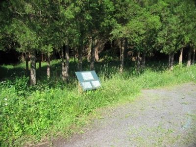
Location. 39° 1.166′ N, 77° 24.437′ W. Marker is in Sterling, Virginia, in Loudoun County. Marker is on Old Vestals Gap Road, on the right when traveling east. Located opposite the parking area for the Lanesville Historic District of Claude Moore Park. Touch for map. Marker is in this post office area: Sterling VA 20164, United States of America. Touch for directions.
Other nearby markers. At least 8 other markers are within walking distance of this marker. The Vestal's Gap Road (about 400 feet away, measured in a direct line); a different marker also named Vestal's Gap Road (about 400 feet away); a different marker also named George Washington (about 600 feet away); a different marker also named Vestal's Gap Road (about 600 feet away); Guilford Signal Station (approx. 0.2 miles away); The Braddock Campaign (approx. 0.2 miles away); a different marker also named Vestal's Gap Road (approx. 0.2 miles away); Lanesville Architecture (approx. 0.2 miles away). Touch for a list and map of all markers in Sterling.
Also see . . . The Braddock Expedition. Wikipedia entry discussing the expedition. (Submitted on June 17, 2009, by Craig Swain of Leesburg, Virginia.)
Credits. This page was last revised on June 16, 2016. It was originally submitted on June 17, 2009, by Craig Swain of Leesburg, Virginia. This page has been viewed 1,114 times since then and 27 times this year. Photos: 1, 2, 3. submitted on June 17, 2009, by Craig Swain of Leesburg, Virginia.


