Independence in Jackson County, Missouri — The American Midwest (Upper Plains)
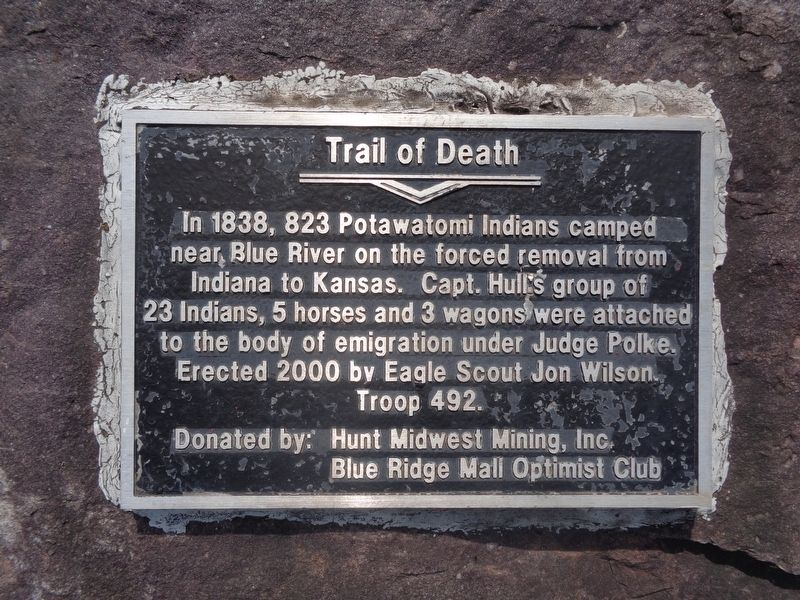
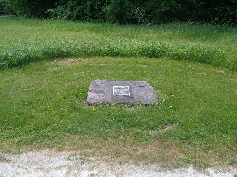
Trail of Death
Erected 2000 by Jon Wilson (Eagle Scout, Troop 492), Hunt Midwest Mining, Inc and Blue Ridge Mall Optimist Club.
Topics and series. This historical marker is listed in this topic list: Native Americans. In addition, it is included in the Potawatomi Trail of Death series list. A significant historical year for this entry is 1838.
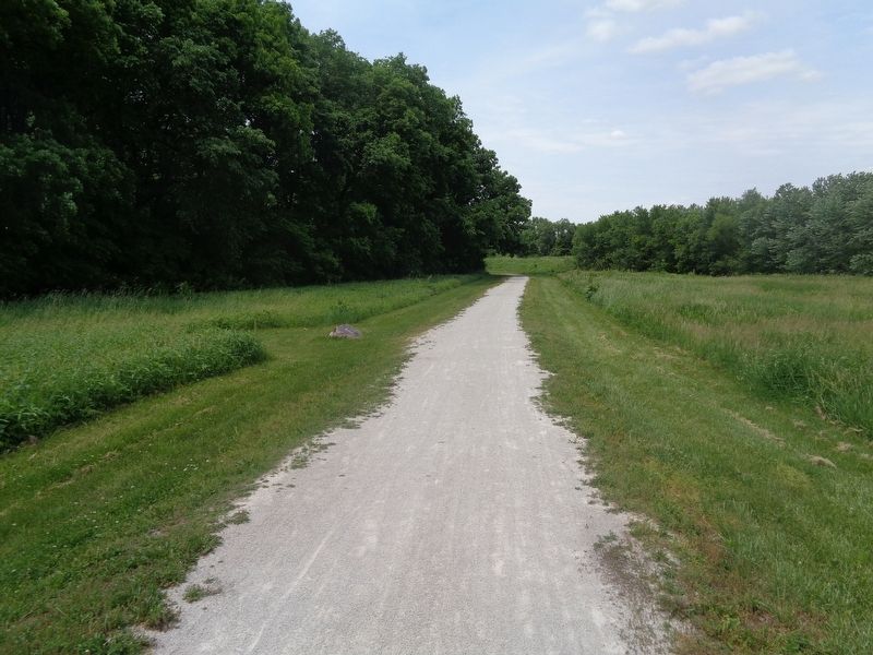
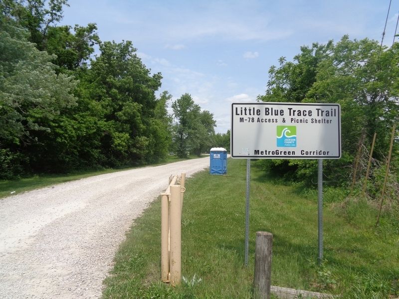
Location. 39° 6.153′ N, 94° 17.913′ W. Marker is in Independence, Missouri, in Jackson County. Marker can be reached from the intersection of East Park Highway (State Highway 78) and South Fisher Road. Marker is located off the Little Blue Trace Trail, which can be accessed from the public parking lot. Touch for map. Marker is at or near this postal address: 24100 E Park Hwy, Independence MO 64056, United States of America. Touch for directions.
Other nearby markers. At least 8 other markers are within 6 miles of this marker, measured as the crow flies. Engagement at the Little Blue (approx. 2˝ miles away); Salem Cemetery Association (approx. 3.2 miles away); Santa Fe Trail (approx. 3.2 miles away); Price's Great Missouri Raid (approx. 3.2 miles away); Union Line (approx. 3.2 miles away); Replica of the Statue of Liberty (approx. 5.9 miles away); a different marker also named Santa Fe Trail (approx. 6 miles away); a different marker also named Trail of Death (approx. 6.1 miles away). Touch for a list and map of all markers in Independence.
Credits. This page was last revised on June 20, 2022. It was originally submitted on June 20, 2022, by Jason Voigt of Glen Carbon, Illinois. This page has been viewed 204 times since then and 43 times this year. Photos: 1, 2, 3, 4. submitted on June 20, 2022, by Jason Voigt of Glen Carbon, Illinois.


