Downtown Kansas City in Jackson County, Missouri — The American Midwest (Upper Plains)
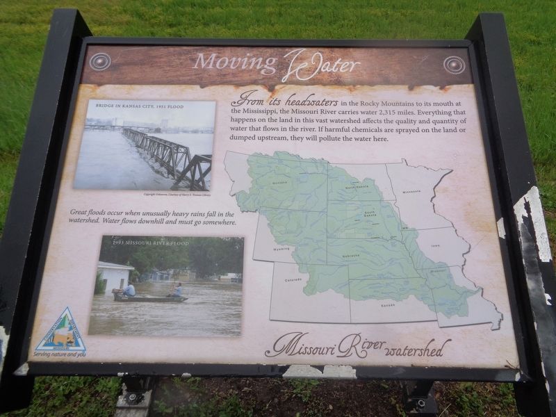
Moving Water
Missouri River Watershed
(photos show damage of 1951 and 1993 floods in Kansas City. Photo caption:)
Great floods occur when unusually heavy rains fall in the watershed. Water flows downhill and must go somewhere.
Erected by Missouri Conservation Department.
Topics. This historical marker is listed in these topic lists: Disasters • Environment • Waterways & Vessels. A significant historical year for this entry is 1951.
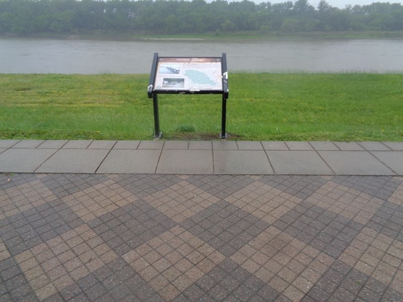
Location. 39° 7.14′ N, 94° 34.192′ W. Marker is in Kansas City, Missouri, in Jackson County. It is in Downtown Kansas City. Marker can be reached from Riverfront Trail. Marker is located on the trail, at Berkley Riverfront. Touch for map. Marker is in this post office area: Kansas City MO 64120, United States of America. Touch for directions.
Other nearby markers. At least 8 other markers are within walking distance of this marker. Moving Indians, Trappers & Traders (about 700 feet away, measured in a direct line); Moving Settlers West (approx. 0.2 miles away); Moving Hearts & Minds (approx. 0.3 miles away); Garrison Field House (approx. 0.6 miles away); Holy Rosary's Bell Tower Cross (approx. 0.7 miles away); The Lewis and Clark Expedition Across Missouri (approx. ¾ mile away); Building Through the Bluffs (approx. 0.9 miles away); The Old Chouteau Trading Post / Le Vieil Etablissement Commercial Chouteau (approx. 0.9 miles away). Touch for a list and map of all markers in Kansas City.
Credits. This page was last revised on February 10, 2023. It was originally submitted on June 20, 2022, by Jason Voigt of Glen Carbon, Illinois. This page has been viewed 214 times since then and 34 times this year. Photos: 1, 2. submitted on June 20, 2022, by Jason Voigt of Glen Carbon, Illinois.

