Near Ticonderoga in Essex County, New York — The American Northeast (Mid-Atlantic)
Rogers’ Rangers
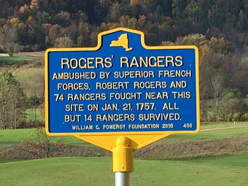
Photographed by Howard C. Ohlhous, October 19, 2023
1. Rogers’ Rangers Marker
Erected 2018 by William G. Pomeroy Foundation. (Marker Number 450.)
Topics. This historical marker is listed in this topic list: War, French and Indian. A significant historical date for this entry is January 21, 1757.
Location. 43° 50.137′ N, 73° 27.67′ W. Marker is near Ticonderoga, New York, in Essex County. It is on Hague Road (New York State Route 9N) 1.7 miles south of Montcalm Street, on the right when traveling south. The marker is 1.7 miles south of the traffic circle on NY -9N. Touch for map. Marker is in this post office area: Ticonderoga NY 12883, United States of America. Touch for directions.

Regionally, this marker is in Upstate New York, in the Adirondacks & North Country, and in the Champlain Valley. It is also in the American Northeast and in the Mid-Atlantic. Globally, it is in North America, the Great North Woods, the Western Hemisphere, the Western World, and the Anglosphere. Historically, it finds itself in what was once the Viceroyalty of New France, New
this page online
Other nearby markers. At least 8 other markers are within 2 miles of this marker, measured as the crow flies: Cliff Seat (approx. 0.6 miles away); LaChute River Trail (approx. 1½ miles away); Liberty Monument (approx. 1.6 miles away); Indian Trail (approx. 1.6 miles away); Hancock House (approx. 1.6 miles away); Grace Leach (approx. 1.6 miles away); "C-Dam" (approx. 1.6 miles away); Upper Falls Industry (approx. 1.6 miles away). Touch for a list and map of all markers in Ticonderoga.
Other markers no longer nearby. Rogers’ Rangers (was here, next to this marker but has been confirmed missing); Death of Lord Howe (was approx. 1½ miles away but has been replaced with another marker now near it); Historic Valley (was approx. 1.6 miles away but has been confirmed missing).
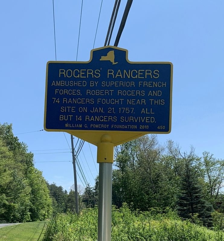
Photographed by Steve Stoessel, June 20, 2022
2. Rogers’ Rangers Marker
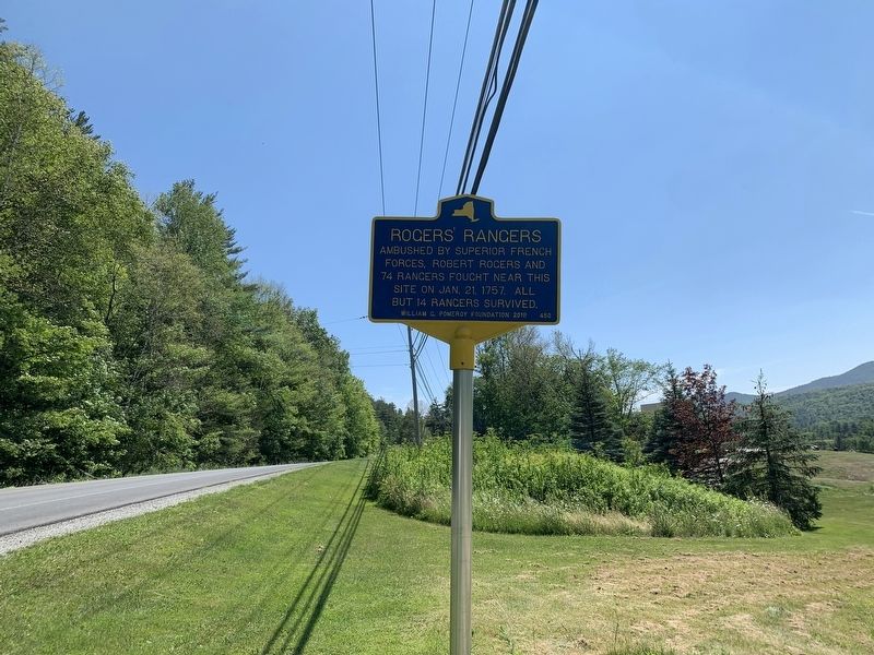
Photographed by Steve Stoessel, June 20, 2022
3. Rogers’ Rangers Marker
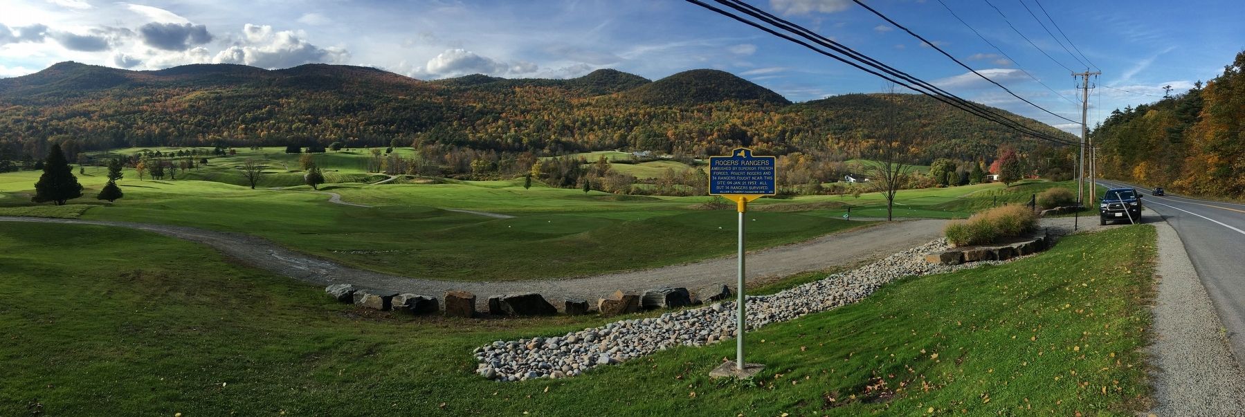
Photographed by Howard C. Ohlhous, October 19, 2023
4. Rogers’ Rangers Marker
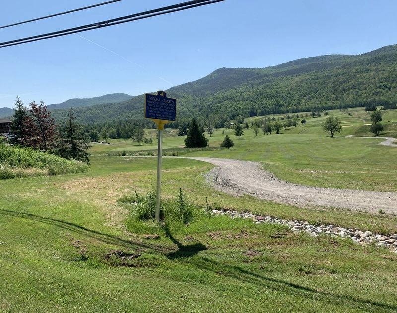
Photographed by Steve Stoessel, June 20, 2022
5. Rogers’ Rangers Marker
Credits. This page was last revised on October 25, 2023. It was originally submitted on June 20, 2022, by Steve Stoessel of Niskayuna, New York. This page has been viewed 452 times since then and 55 times this year. Photos: 1. submitted on October 20, 2023, by Howard C. Ohlhous of Duanesburg, New York. 2, 3. submitted on June 20, 2022, by Steve Stoessel of Niskayuna, New York. 4. submitted on October 20, 2023, by Howard C. Ohlhous of Duanesburg, New York. 5. submitted on June 20, 2022, by Steve Stoessel of Niskayuna, New York. • Bill Pfingsten was the editor who published this page.
