Sterling in Loudoun County, Virginia — The American South (Mid-Atlantic)
The Braddock Campaign
Inscription.
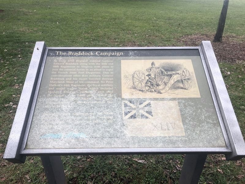
In early 1755, England ordered General Edward Braddock along with the 44th and 48th Regiments to Virginia with plans to join the colonial forces in an effort to expel the French from Fort Duquesne. Due to considerations other than military, General Braddock and his escort traveled through Maryland. Most of his command, Sir Peter Halkett's 44th Regiment, the royal artillery, and major wagon trains which included Madame Browne's celebrated unit used the Vestal's Gap Road and crossed the present-day Claude Moore Park. Many future generals of the Revolutionary War also went this way.
Joining the 44th Regiment was the North Carolina detachment, which included Daniel Boone who later won fame on the Kentucky Frontier.
Topics. This historical marker is listed in this topic list: War, French and Indian. A significant historical year for this entry is 1755.
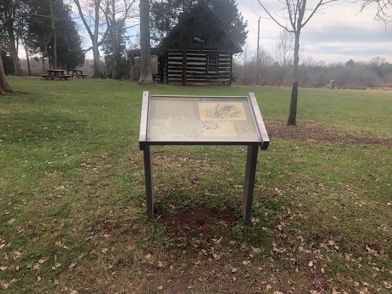
Location. 39° 1.081′ N, 77° 24.252′ W. Marker is in Sterling, Virginia, in Loudoun County. Marker is on Old Vestals Gap Road, on the right when traveling east. Located along the walking path and service road which follows the old road trace in Claude Moore Park. Touch for map. Marker is in this post office area: Sterling VA 20164, United States of America. Touch for directions.
Other nearby markers. At least 8 other markers are within walking distance of this marker. Vestal's Gap Road (a few steps from this marker); Lanesville Architecture (within shouting distance of this marker); Lanesville Historic Area (within shouting distance of this marker); Lanesville House and Vestal's Gap Road (within shouting distance of this marker); Lanesville Outbuildings (within shouting distance of this marker); Lanesville Families (within shouting distance of this marker); Vestal's Gap Road in the 1800s (about 400 feet away, measured in a direct line); Guilford Signal Station (about 400 feet away). Touch for a list and map of all markers in Sterling.
Also see . . . Braddock's March Through Loudoun County. (Submitted on June 18, 2009, by Craig Swain of Leesburg, Virginia.)

Photographed By Devry Becker Jones (CC0), December 30, 2020
2. The Braddock Campaign Marker
Unfortunately the marker has experienced weather damage and is partially illegible.
Credits. This page was last revised on December 30, 2020. It was originally submitted on June 18, 2009, by Craig Swain of Leesburg, Virginia. This page has been viewed 1,557 times since then and 50 times this year. Photos: 1. submitted on June 18, 2009, by Craig Swain of Leesburg, Virginia. 2, 3. submitted on December 30, 2020, by Devry Becker Jones of Washington, District of Columbia.

