Mount Ida in Montgomery County, Arkansas — The American South (West South Central)
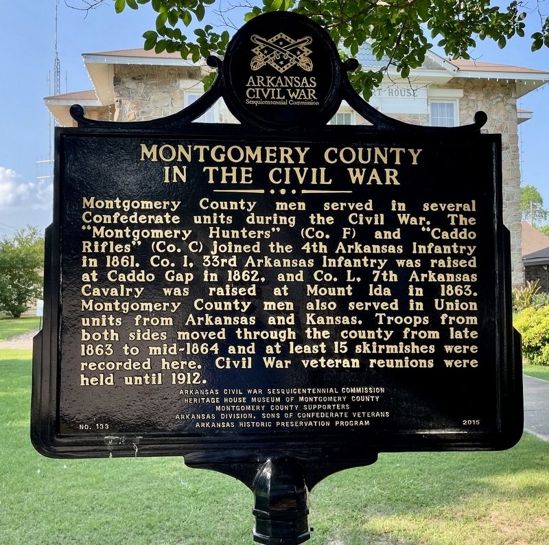
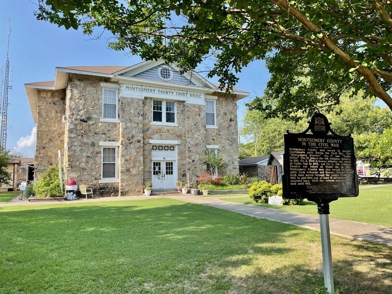
Montgomery County in the Civil War
Erected 2015 by Arkansas Civil War Sesquicentennial Commission; Heritage House Museum of Montgomery County; Montgomery County Supporters; Arkansas Division, Sons of Confederate Veterans; Arkansas Historic Preservation Program. (Marker Number 133.)
Topics and series. This historical marker is listed in this topic list: War, US Civil. In addition, it is included in the Arkansas Civil War Sesquicentennial Commission series list. A significant historical year for this entry is 1861.
Location. 34° 33.446′ N, 93° 37.965′ W. Marker is in Mount Ida, Arkansas, in Montgomery County. Marker is on George Street west of East Street, on the right when traveling west. Touch for map. Marker is at or near this postal address: 105 US-270, Mount Ida AR 71957, United States of America. Touch for directions.
Other nearby markers. At least 7 other markers are within 11 miles of this marker, measured as the crow flies. Montgomery County (here, next to this marker); Montgomery County Civil War Memorial (a few steps from this marker); Archeological Analysis of Norman Caddo Indian Burial Ground (approx. 7.8 miles away); The Town of Caddo Gap (approx. 10.8 miles away); The Narrows on Caddo River (approx. 10.8 miles away); De Soto at Caddo Gap (approx. 10.8 miles away); The Caddo People (approx. 10.8 miles away).
Credits. This page was last revised on June 24, 2022. It was originally submitted on June 24, 2022, by Mark Hilton of Montgomery, Alabama. This page has been viewed 204 times since then and 58 times this year. Photos: 1, 2. submitted on June 24, 2022, by Mark Hilton of Montgomery, Alabama.

