Gatlinburg in Sevier County, Tennessee — The American South (East South Central)
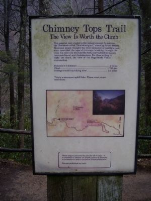
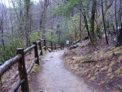
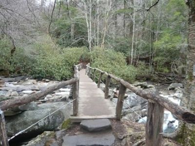
Chimney Tops Trail
The View Is Worth the Climb
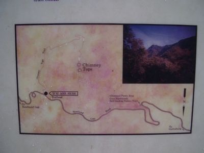
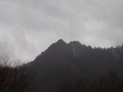
Mountain people thought the twin pinnacles of quartzite and slate resembled the tops of chimneys breaking through the trees. Up close you will find the rocks surrounded by mosses, mountain laurel, and rhododendron. For those willing to make the climb, the view of the Sugarlands Valley is rewarding.
Distance to Chimneys............2 miles
Climb.........................1,700feet
Average round-trip hiking time..2-3 hours
Topics. This historical marker is listed in this topic list: Natural Features. A significant historical date for this entry is November 2, 1813.
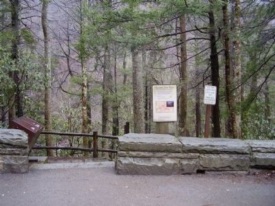
Location. 35° 38.118′ N, 83° 28.16′ W. Marker is in Gatlinburg, Tennessee, in Sevier County. Marker is on Walker Camp Prong (U.S. 441). Touch for map. Marker is in this post office area: Gatlinburg TN 37738, United States of America. Touch for directions.
Other nearby markers. At least 8 other markers are within 3 miles of this marker, measured as the crow flies. The Chimney Tops (approx. ¼ mile away); a different marker also named Chimney Tops (approx. 1.3 miles away); Lifeblood of the Mountains (approx. 1.4 miles away); Indian Gap Road (approx. 2.2 miles away); Mount Le Conte (approx. 2.3 miles away); “To the free people of America” (approx. 3 miles away in North Carolina); New Gap, New Road (approx. 3 miles away); A Mountain Sanctuary (approx. 3 miles away in North Carolina). Touch for a list and map of all markers in Gatlinburg.
Credits. This page was last revised on June 16, 2016. It was originally submitted on June 19, 2009, by Stanley and Terrie Howard of Greer, South Carolina. This page has been viewed 1,306 times since then and 14 times this year. Photos: 1, 2, 3, 4, 5, 6. submitted on June 19, 2009, by Stanley and Terrie Howard of Greer, South Carolina. • Craig Swain was the editor who published this page.
