Gatlinburg in Sevier County, Tennessee — The American South (East South Central)
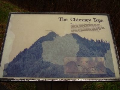
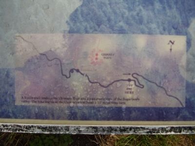
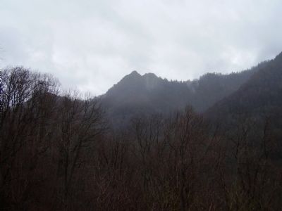
The Chimney Tops
Topics. This historical marker is listed in this topic list: Natural Features.
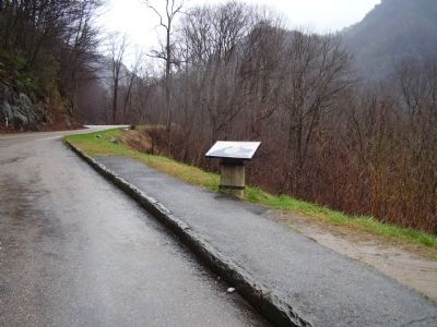
Location. 35° 38.182′ N, 83° 28.383′ W. Marker is in Gatlinburg, Tennessee, in Sevier County. Marker is on Walker Camp Prong (U.S. 441). Touch for map. Marker is in this post office area: Gatlinburg TN 37738, United States of America. Touch for directions.
Other nearby markers. At least 8 other markers are within 4 miles of this marker, measured as the crow flies. Chimney Tops Trail (approx. ¼ mile away); a different marker also named Chimney Tops (approx. 1.1 miles away); Lifeblood of the Mountains (approx. 1.6 miles away); Indian Gap Road (approx. 2.4 miles away); Mount Le Conte (approx. 2.4 miles away); “To the free people of America” (approx. 3.2 miles away in North Carolina); A Mountain Sanctuary (approx. 3.2 miles away in North Carolina); New Gap, New Road (approx. 3.2 miles away). Touch for a list and map of all markers in Gatlinburg.
Credits. This page was last revised on June 16, 2016. It was originally submitted on June 19, 2009, by Stanley and Terrie Howard of Greer, South Carolina. This page has been viewed 1,148 times since then and 36 times this year. Photos: 1, 2, 3, 4, 5. submitted on June 19, 2009, by Stanley and Terrie Howard of Greer, South Carolina. • Craig Swain was the editor who published this page.


