Collierville in Shelby County, Tennessee — The American South (East South Central)
Civil War Walking Trail Start/End Kiosk
Inscription.
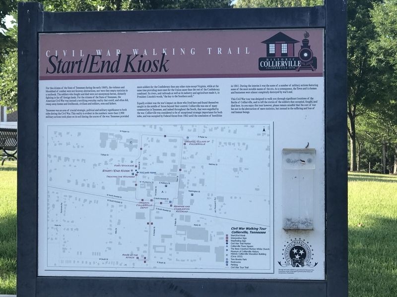
For the citizens of the State of Tennessee during the early 1860's, the violence and bloodshed of combat were not faraway abstractions, nor were they empty statistics in a textbook. The soldiers who fought and died were not anonymous heroes, distantly fighting in far off foreign lands. For the citizens of the State of Tennessee, the American Civil War was instead a terrifying everyday reality that could, and often did, sweep away homes and livelihoods, civilians and soldiers, sons and fathers.
Tennessee was an area of crucial strategic, political and military significance to both sides during the Civil War. This reality is evident in the numbers: more than 2,900 military actions took place on its soil during the course of the war. Tennessee provided more soldiers for the Confederacy than any other state except Virginia, while at the same time providing more men for the Union cause than the rest of the Confederacy combined. Its rivers, and railroads as well as its industry and agriculture made it, in President Lincoln's words, “the key to the Southern arch.”
Equally evident was the war's impact on those who lived here and found themselves caught in the middle of forces beyond their control. Collierville was one of many communities in Tennessee, and indeed throughout the South, that were engulfed by the war. Collierville was considered to be of exceptional strategic importance for both sides, and was occupied by Federal forces from 1862 until the conclusion of hostilities in 1865. During the interim it was the scene of a number of military actions featuring some of the most notable names of the era. As a consequence, the Town and its homes and businesses were almost completely destroyed by war's end.
This Civil War tour was designed to walk you through significant locations of the Battle of Collierville, and to tell the stories of the soldiers that occupied, fought, and died here. As you enjoy this tour however, please remain mindful that the cost of war lies not in the abstraction of mere statistics, but instead in the suffering and loss of real human beings.
Erected by Town of Collierville • Tennessee Wars Commission.
Topics. This historical marker is listed in this topic list: War, US Civil. A significant historical year for this entry is 1862.
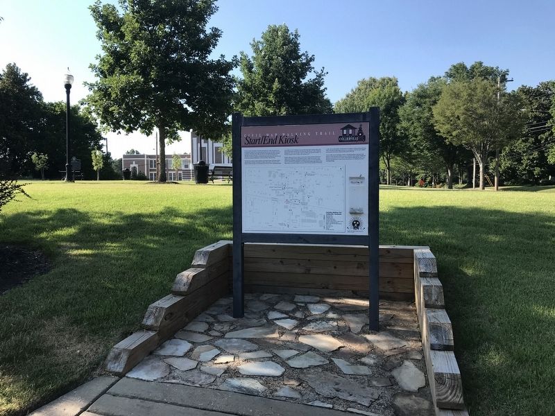
Location. 35° 2.613′ N, 89° 40.01′ W. Marker is in Collierville, Tennessee, in Shelby County. Marker is on Walnut Street north of West Mulberry Street, on the left when traveling north. Marker is on the southern edge of Tom Brooks Park. Touch for map. Marker is at or near this postal address: 151 Walnut ST, Collierville TN 38017, United States of America. Touch for directions.
Other nearby markers. At least 8 other markers are within walking distance of this marker. Battle of Collierville (a few steps from this marker);
Chalmers's Collierville Raid (a few steps from this marker); Treating the Wounded (within shouting distance of this marker); Tom Brooks Park (within shouting distance of this marker); Fort/Stockade (within shouting distance of this marker); First Baptist Church (within shouting distance of this marker); Presbyterian Church of Collierville (within shouting distance of this marker); Saint Andrew's Episcopal Church (within shouting distance of this marker). Touch for a list and map of all markers in Collierville.
Credits. This page was last revised on June 26, 2022. It was originally submitted on June 26, 2022, by Duane and Tracy Marsteller of Murfreesboro, Tennessee. This page has been viewed 168 times since then and 27 times this year. Photos: 1, 2. submitted on June 26, 2022, by Duane and Tracy Marsteller of Murfreesboro, Tennessee.

