Liberty Township near Powell in Delaware County, Ohio — The American Midwest (Great Lakes)
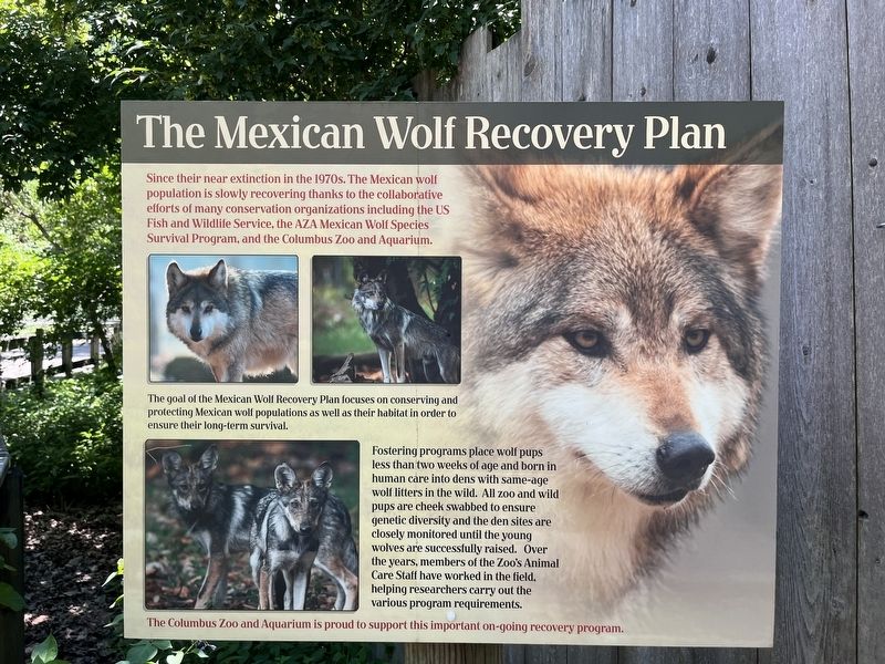
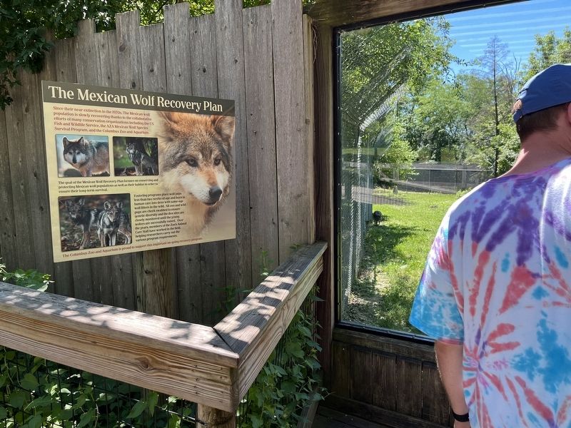
The Mexican Wolf Recovery Plan
Since their near extinction in the 1970s, the Mexican wolf population is slowly recovering thanks to the collaborative efforts of many conservation organizations including the US Fish and Wildlife Service, the AZA Mexican Wolf Species Survival Program, and the Columbus Zoo and Aquarium.
The goal of the Mexican Wolf Recovery Plan focuses on conserving and protecting Mexican wolf populations as well as their habitat in order to ensure their long-term survival.
Fostering programs place wolf pups less than two weeks of age and born in human care into dens with same-age wolf litters in the wild. All zoo and wild pups are cheek swabbed to ensure genetic diversity and the den sites are closely monitored until the young wolves are successfully raised. Over the years, members of the Zoo's Animal Care Staff have worked in the field, helping researchers carry out the various program requirements.
The Columbus Zoo and Aquarium is proud to support this important on-going recovery program.
Erected by Columbus Zoo and Aquarium.
Topics. This historical marker is listed in these topic lists: Animals • Environment.
Location. 40° 9.447′ N, 83° 7.063′ W. Marker is near Powell, Ohio, in Delaware County. It is in Liberty Township. Marker can be reached from West Powell Road (Ohio Route 750) east of Ohio Route 257, on the right when traveling west. Touch for map. Marker is in this post office area: Powell OH 43065, United States of America. Touch for directions.
Other nearby markers. At least 8 other markers are within walking distance of this marker. Mexican Gray Wolf (here, next to this marker); Welcome to the North American Trail (a few steps from this marker); Trumpeter Swan (a few steps from this marker); American Bison (within shouting distance of this marker); a different marker also named American Bison (within shouting distance of this marker); Prairie Sampler (about 300 feet away, measured in a direct line); Wetlands Conservation Projects (about 400 feet away); Little House on the Prairie (about 400 feet away). Touch for a list and map of all markers in Powell.
Credits. This page was last revised on February 6, 2023. It was originally submitted on June 28, 2022, by Devry Becker Jones of Washington, District of Columbia. This page has been viewed 54 times since then and 7 times this year. Photos: 1, 2. submitted on June 28, 2022, by Devry Becker Jones of Washington, District of Columbia.

