Watsonville in Santa Cruz County, California — The American West (Pacific Coastal)
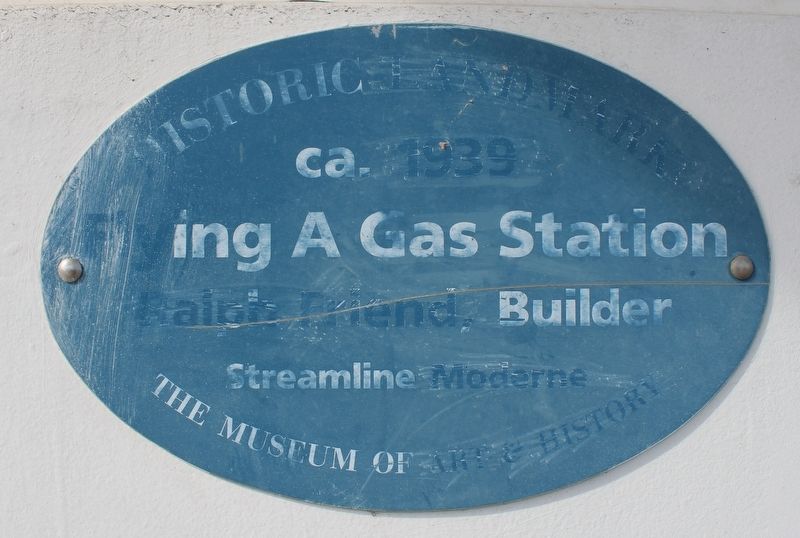
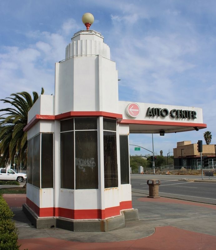
Flying A Gas Station
Historic Landmark
— The Museum of Art & History —
Flying A Gas Station
Ralph Friend, Builder
Streamline Moderne
Erected by Santa Cruz Museum of Art & History.
Topics. This historical marker is listed in these topic lists: Architecture • Industry & Commerce • Roads & Vehicles. A significant historical year for this entry is 1939.
Location. 36° 54.966′ N, 121° 46.079′ W. Marker is in Watsonville, California, in Santa Cruz County. Marker is at the intersection of Main Street and Auto Center Drive, on the right when traveling west on Main Street. Touch for map. Marker is in this post office area: Watsonville CA 95076, United States of America. Touch for directions.
Other nearby markers. At least 8 other markers are within walking distance of this marker. Lest We Forget (approx. 0.3 miles away); St. Patricks Church (approx. half a mile away); Watsonville (approx. half a mile away); The Apple Annual (approx. 0.6 miles away); Where Strawberries are Sweeter (approx. 0.7 miles away); Kalich Building (approx. 0.7 miles away); Charley Darkey Parkhurst (approx. 0.7 miles away); The Mansion House (approx. 0.7 miles away). Touch for a list and map of all markers in Watsonville.
Additional commentary.
1. The Flying A Station
This former Flying A station was built around 1939. The station closed in 1989. In 2006, it was restored and moved from a different location in town to the Watsonville Auto Center. There would have been canopy supports originally.
— Submitted June 29, 2022, by Joseph Alvarado of Livermore, California.
Credits. This page was last revised on June 30, 2022. It was originally submitted on June 29, 2022, by Joseph Alvarado of Livermore, California. This page has been viewed 191 times since then and 31 times this year. Photos: 1, 2, 3, 4. submitted on June 29, 2022, by Joseph Alvarado of Livermore, California. • Syd Whittle was the editor who published this page.


