Indian Springs in Columbus in Franklin County, Ohio — The American Midwest (Great Lakes)
Beechwold
⎯⎯⎯
The Cottages
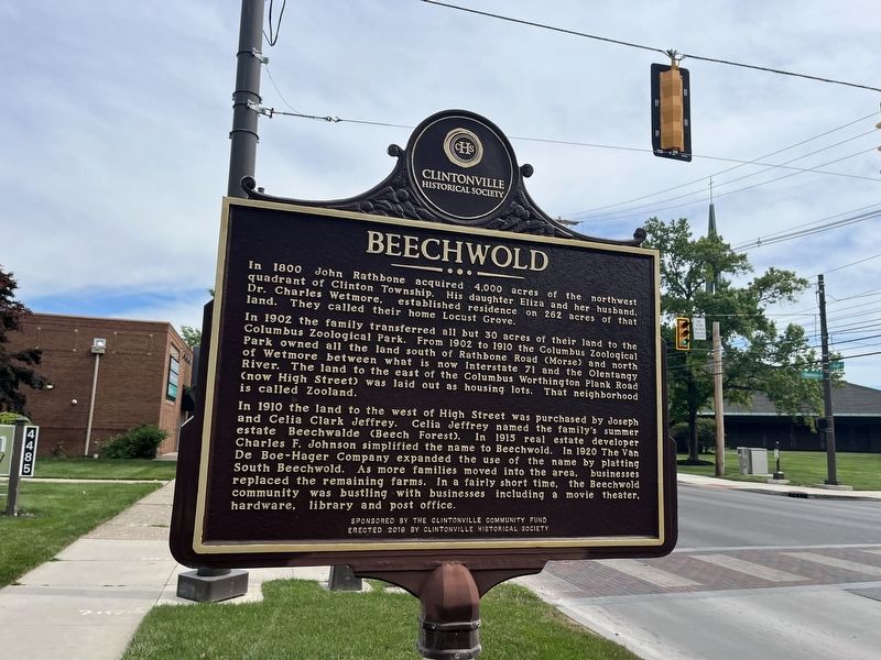
In 1902 the family transferred all but 30 acres of their land to the Columbus Zoological Park. From 1902 to 1910 the Columbus Zoological Park owned all the land south of Rathbone Road (Morse) and north of Wetmore between what is now Interstate 71 and the Olentangy River. The land to the east of the Columbus Worthington Plank Road (now High Street) was laid out as housing lots. That neighborhood is now called Zooland.
In 1910 the land to the west of High Street was purchased by Joseph and Celia Clark Jeffrey. Celia Jeffrey named the family's summer estate Beechwalde (Beech Forest). In 1915 real estate developer Charles F. Johnson simplified the name to Beechwold. In 1920 The Van De Boe-Hager Company expanded the use of the name by platting South Beechwold. As more families moved into the area, businesses replaced the remaining farms. In a fairly short time, the Beechwold community
this page online
"Children learning the love of reading from the example of caring parents and teachers is my wish for the new millennium."
-MiggCaulkins Urban
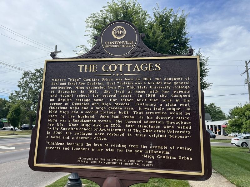
Erected 2016 by Clintonville Historical Society, sponsored by the Clintonville Community Fund.
Topics. This historical marker is listed in these topic lists: Architecture • Education • Settlements & Settlers • Women. A significant historical year for this entry is 1800.
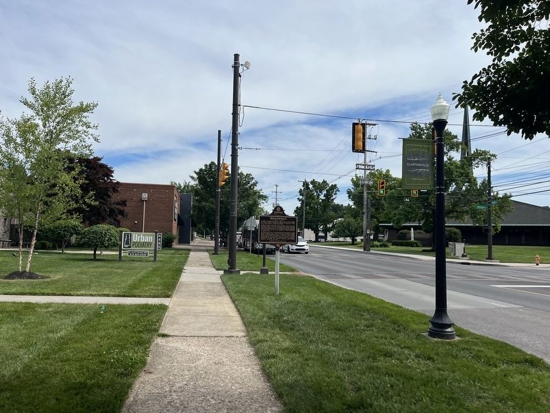
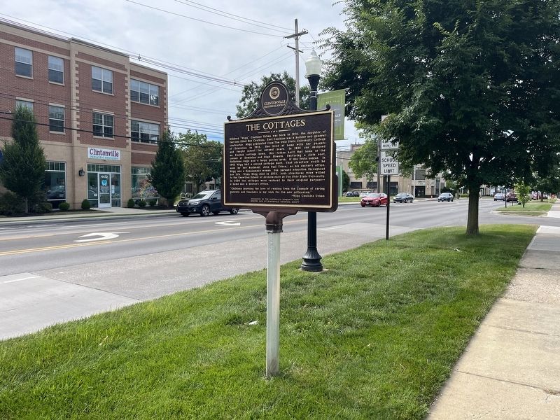
Location. 40° 3.207′ N, 83° 1.208′ W. Marker is in Columbus, Ohio, in Franklin County. It is in Indian Springs. It is on North High Street just north of West Dominion Boulevard, on the left when traveling north. Touch for map. Marker is at or near this postal address: 4472 N High St, Columbus OH 43214, United States of America. Touch for directions.

Regionally, this marker is in Ohio’s Scioto Valley. It is also in the American Midwest and in the Corn Belt. Globally, it is in North America, the Western Hemisphere, the Western World, and the Anglosphere. Historically, it finds itself in what was once the Haudenosaunee (Iroquois) Confederacy, the territory of the Mississippian Culture, and the Northwest Territory.
Other nearby markers. At least 8 other markers are within one mile of this marker, measured as the crow
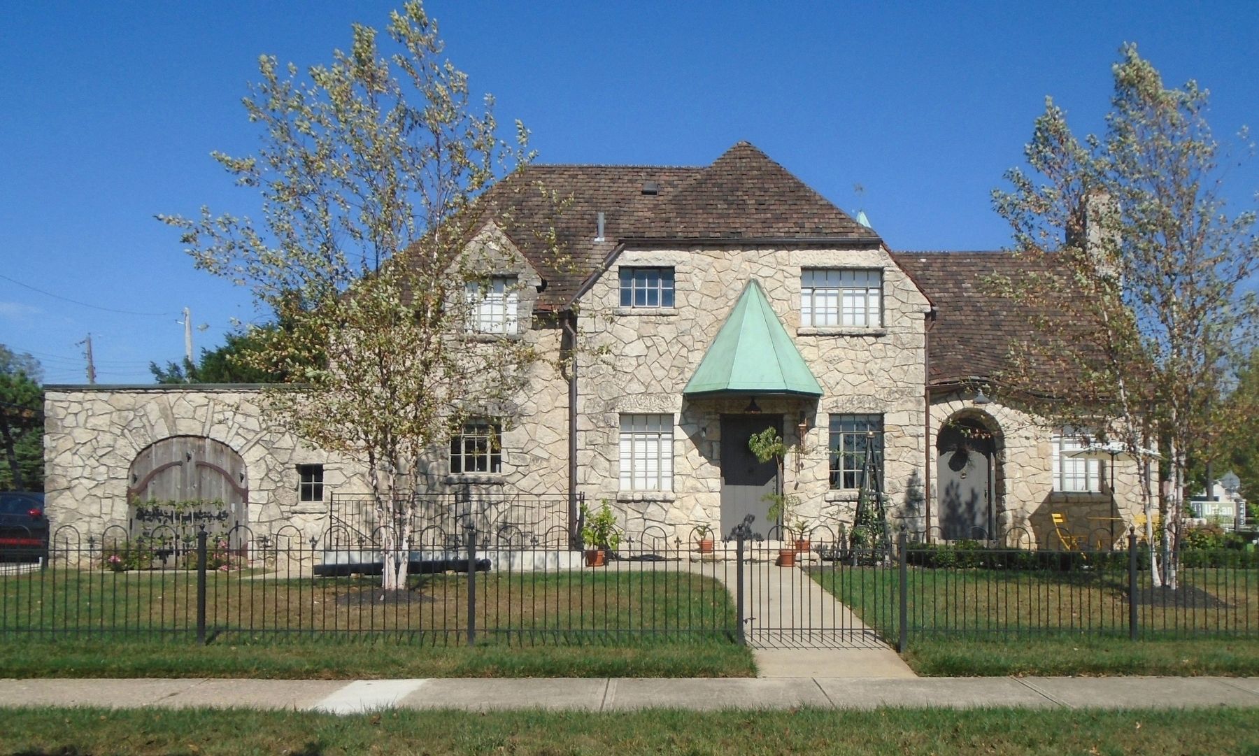
Photographed by William Fischer, Jr., October 4, 2023
5. The 1936 (first) Cottage
Credits. This page was last revised on February 3, 2026. It was originally submitted on June 29, 2022, by Devry Becker Jones of Washington, District of Columbia. This page has been viewed 2,590 times since then and 238 times this year. Photos: 1, 2, 3, 4. submitted on June 29, 2022, by Devry Becker Jones of Washington, District of Columbia. 5. submitted on October 12, 2023, by William Fischer, Jr. of Reynoldsburg, Ohio.
