Arkadelphia in Clark County, Arkansas — The American South (West South Central)
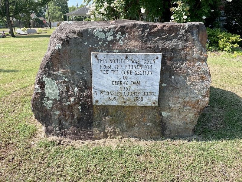
Degray Dam Boulder
from the foundation
for the core section
of Degray Dam
1967
B. W. Hasley, County Judge
1959 1968
Topics. This historical marker is listed in this topic list: Waterways & Vessels. A significant historical year for this entry is 1967.
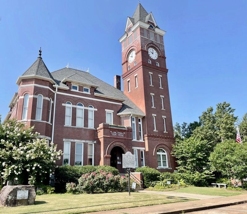
Location. 34° 7.119′ N, 93° 3.074′ W. Marker is in Arkadelphia, Arkansas, in Clark County. Marker is at the intersection of Clay Street and Court Street, on the right when traveling east on Clay Street. Located at the Clay County Courthouse. Touch for map. Marker is at or near this postal address: 401 Clay St, Arkadelphia AR 71923, United States of America. Touch for directions.
Other nearby markers. At least 8 other markers are within walking distance of this marker. Clark County (here, next to this marker); Clark County Confederate Memorial (a few steps from this marker); Clark County First Manufactory in Arkansas (a few steps from this marker); Salt Kettle (within shouting distance of this marker); Flanagin Law Office (within shouting distance of this marker); Freedmen's Bureau (about 300 feet away, measured in a direct line); The Blakely Graveyard (about 300 feet away); Arkadelphia Courthouses (about 800 feet away). Touch for a list and map of all markers in Arkadelphia.
Credits. This page was last revised on August 17, 2022. It was originally submitted on June 30, 2022, by Mark Hilton of Montgomery, Alabama. This page has been viewed 90 times since then and 13 times this year. Photos: 1, 2. submitted on June 30, 2022, by Mark Hilton of Montgomery, Alabama.

