Near Stewart Valley in Saskatchewan Landing No. 167, Saskatchewan — The Prairie Region (North America)
Saskatchewan Landing
A Saskatchewan Historic Site
— Preserve Our Heritage —
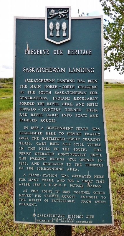
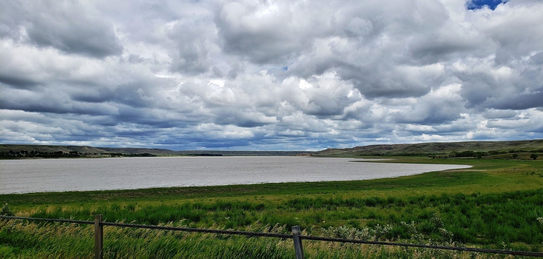
Saskatchewan Landing has been the main north-south crossing of the South Saskatchewan for generations. Indians regularly forded the river here, and Métis buffalo-hunters turned their Red River carts into boats and paddled across.
In 1883 a government ferry was established here to service traffic over the Battleford-Swift Current Trail. Cart ruts are still visible in the hills to the south. The ferry operated continuously until the present bridge was opened in 1953, and dedicated to the pioneers of the surrounding area.
A stage-station was operated here for many years, and for a short time after 1885 a N.W.M.P. Patrol Station.
At this point in 1885 Colonel Otter moved his troops across, enroute to the relief of Battleford, from Swift Current.
Erected by Saskatchewan Department of Natural Resources.
Topics. This historical marker is listed in these topic lists: Bridges & Viaducts • Native Americans • Waterways & Vessels. A significant historical year for this entry is 1883.
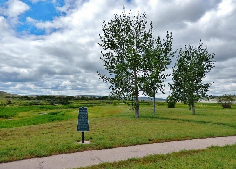
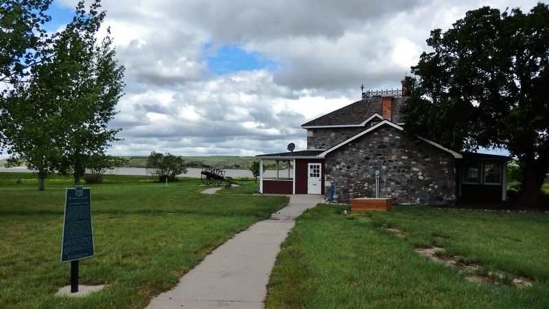
Location. 50° 38.837′ N, 107° 57.797′ W. Marker is near Stewart Valley, Saskatchewan, in Saskatchewan Landing No. 167. Marker can be reached from Provincial Highway 4, 7 kilometers north of Provincial Highway 738, on the left when traveling north . Marker is located along the access walkway at the Goodwin House Interpretive Centre in Saskatchewan Landing Provincial Park. Touch for map. Marker is in this post office area: Stewart Valley SK S0N 2P0, Canada. Touch for directions.
Also see . . . Saskatchewan Landing.
The location is believed to be a former Métis river crossing and part of the historic Swift Current-Battleford Trail. There are many pieces of evidence supporting the theory: ruts left from the Red River carts crossing the river, teepee rings, trails, and the Goodwin House (a large stone building built by Frank Goodwin in 1897). It is believed that in the early 1900s, Saskatchewan Landing became a stopover point for travellers, supported by the Goodwin House.(Submitted on July 1, 2022, by Cosmos Mariner of Cape Canaveral, Florida.)
Credits. This page was last revised on July 1, 2022. It was originally submitted on July 1, 2022, by Cosmos Mariner of Cape Canaveral, Florida. This page has been viewed 225 times since then and 60 times this year. Photos: 1, 2, 3, 4. submitted on July 1, 2022, by Cosmos Mariner of Cape Canaveral, Florida.


