Superior in Douglas County, Wisconsin — The American Midwest (Great Lakes)
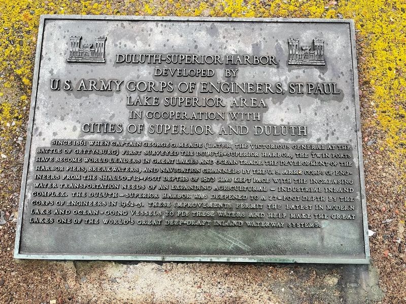
Duluth-Superior Harbor
Since 1861 when Captain George G. Meade (later, the victorious General at the Battle of Gettysburg) first surveyed the Duluth-Superior Harbor, the Twin Ports have become world leaders in Great Lakes and ocean trade. The development of the harbor piers, breakwaters, and navigation channels by the U.S. Army Corps of Engineers from the shallow 12-foot depths of 1873 has kept pace with the increasing water transportation needs of an expanding agricultural-industrial inland complex. The Duluth-Superior Harbor was deepened to a 27-foot depth by the Corps of Engineers in 1962-3. These improvements permit the latest in modern lake and ocean-going vessels to ply these waters and help make the Great Lakes one of the world's great deep-draft inland waterway systems.
Topics. This historical marker is listed in this topic list: Waterways & Vessels.
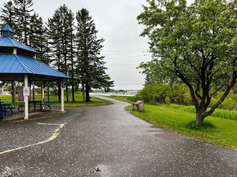
Location. 46° 42.71′ N, 92° 3.204′ W. Marker is in Superior, Wisconsin, in Douglas County. Marker is on U.S. 53, on the right when traveling north. The marker is along the Osaugie Trail at the Superior Rotary Pavilion. The marker and pavilion are also along US Highway 53. Touch for map. Marker is in this post office area: Superior WI 54880, United States of America. Touch for directions.
Other nearby markers. At least 8 other markers are within 3 miles of this marker, measured as the crow flies. Old Stockade Site (a few steps from this marker); S.S. Meteor (approx. 0.9 miles away); Wartime Shipbuilding (approx. 1.1 miles away); The University of Wisconsin-Superior (approx. 1.7 miles away); Burlington Northern Ore Docks (approx. 1.7 miles away); The Superior Entry (approx. 1.9 miles away); Superior Entry South Breakwater Light (approx. 2.1 miles away); Burial Ground of the Fond du Lac Band (approx. 2.2 miles away). Touch for a list and map of all markers in Superior.
Credits. This page was last revised on July 3, 2022. It was originally submitted on July 1, 2022, by Devon Polzar of Port Washington, Wisconsin. This page has been viewed 156 times since then and 35 times this year. Photos: 1, 2. submitted on July 1, 2022, by Devon Polzar of Port Washington, Wisconsin. • J. Makali Bruton was the editor who published this page.

