Covington in Kenton County, Kentucky — The American South (East South Central)
Austinburg
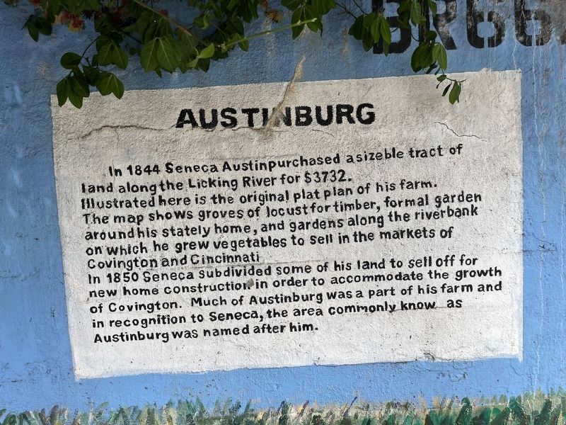
In 1844 Seneca Austin purchased a sizeable tract of land along the Licking River for $3732.
Illustrated here is the original plat plan of his farm.
The map shows groves of locust for timber, formal garden around his stately home, and gardens along the riverbank on which he grew vegetables to sell in the markets of Covington and Cincinnati.
In 1850 Seneca subdivided some of his land to sell off for new home construction in order to accommodate the growth of Covington. Much of Austinburg was a part of his farm and in recognition of to Seneca, the area commonly know as Austinburg was named after him.
Topics. This historical marker is listed in these topic lists: Agriculture • Settlements & Settlers. A significant historical year for this entry is 1844.
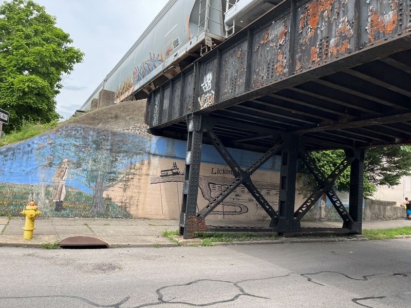
Location. 39° 4.251′ N, 84° 30.318′ W. Marker is in Covington, Kentucky, in Kenton County. It is at the intersection of Scott Street and East 17th Street, on the left when traveling north on Scott Street. Touch for map. Marker is at or near this postal address: 1614 Madison Ave, Covington KY 41011, United States of America. Touch for directions.

Regionally, this
this page online
Other nearby markers. At least 8 other markers are within walking distance of this marker: Famous Television Pioneer (approx. 0.2 miles away); Virginia Apartments (approx. 0.4 miles away); Frank L. Michaels House (approx. 0.4 miles away); Michaels House (approx. 0.4 miles away); Site of Longwood (approx. 0.4 miles away); Wallace-Boyd House (approx. 0.4 miles away); Hollingsworth House (approx. 0.4 miles away); Elizabeth Grossmann House (approx. half a mile away). Touch for a list and map of all markers in Covington.
Credits. This page was last revised on July 1, 2022. It was originally submitted on July 1, 2022, by Devry Becker Jones of Washington, District of Columbia. This page has been viewed 331 times since then and 41 times this year. Photos: 1, 2. submitted on July 1, 2022, by Devry Becker Jones of Washington, District of Columbia.
