Amite in Tangipahoa Parish, Louisiana — The American South (West South Central)
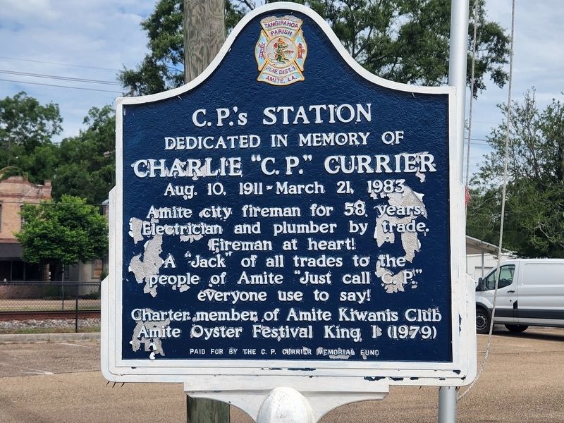
C.P.'s Station
Photographed by Cajun Scrambler, July 2, 2022
1. C.P.'s Station Marker
Dedicated in memory of
Charlie "C.P." Currier
Aug. 10, 1911 - March 21, 1983
Amite City fireman for 58 years.
Electrician and plumber by trade.
Fireman at heart.
A "Jack" of all trades to the
people of Amite "Just call C.P."
everyone use to say!
Charter member of Amite Kiwanis Club.
Amite Oyster Festival King I (1979)
Erected by C.P. Currier Memory Fund.
Topics. This historical marker is listed in this topic list: Parks & Recreational Areas.
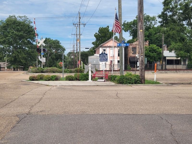
Location. 30° 43.687′ N, 90° 30.509′ W. Marker is in Amite, Louisiana, in Tangipahoa Parish. It is on NE Central Avenue near East Mulberry Street, on the left when traveling north. Touch for map. Marker is in this post office area: Amite LA 70422, United States of America. Touch for directions.

Regionally, this marker is in the Florida Parishes and in Greater New Orleans. It is also in the American South, specifically in the Deep South, and on the Gulf Coast. Globally, it is in North America, a Gulf of Mexico state, the Western Hemisphere, the Western World, and the Anglosphere. Historically, it finds itself in what was
this page online
Other nearby markers. At least 8 other markers are within 11 miles of this marker, measured as the crow flies: Church of the Incarnation (about 600 feet away, measured in a direct line); Blythewood Plantation (approx. 0.6 miles away); Independence (approx. 6.4 miles away); Loranger High School (approx. 9 miles away); Montpelier (approx. 9½ miles away); Tangipahoa (approx. 10 miles away); Camp Moore (approx. 10.8 miles away); Camp Moore #2 (approx. 10.8 miles away).
Photographed by Cajun Scrambler, July 2, 2022
2. C.P.'s Station Marker
Credits. This page was last revised on July 2, 2022. It was originally submitted on July 2, 2022, by Cajun Scrambler of Assumption, Louisiana. This page has been viewed 371 times since then and 29 times this year. Photos: 1, 2. submitted on July 2, 2022, by Cajun Scrambler of Assumption, Louisiana.
