Birmingham in Oakland County, Michigan — The American Midwest (Great Lakes)
City of Birmingham
A Walkable Community
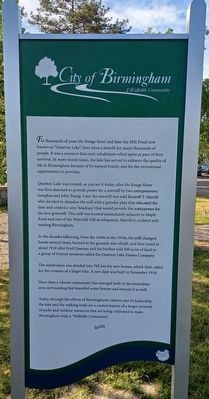
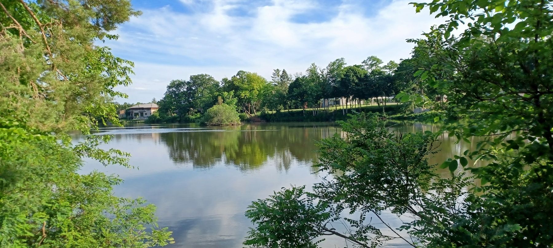
For thousands of years the Rouge River and later the Mill Pond now known as "Quarton Lake", have been a benefit for many thousands of people. It was a resource that early inhabitants relied upon as part of their survival. In more recent times, the lake has served to enhance the quality of life in Birmingham because of its natural beauty, and for the recreational opportunities it provides.
Quarton Lake was created, as you see it today, after the Rouge River was first dammed to provide power for a sawmill by two entrepreneurs, Josephus and John Young. Later the sawmill was sold [to] Roswell T. Merrill who decided to abandon the mill with a grander plan that relocated the dam and created a new 'headrace' that would provide the waterpower for his new gristmill. This mill was located immediately adjacent to Maple Road and east of the Waterfall Hill development. Merrill is credited with naming Birmingham.
In the decades following, from the 1840s to the 1910s, the mill changed hands several times, burned to the ground, was rebuilt, and later razed in about 1918 after Fred Quarton and his brother sold 200 acres of land to a group of Detroit investors called the Quarton Lake Estates Company.
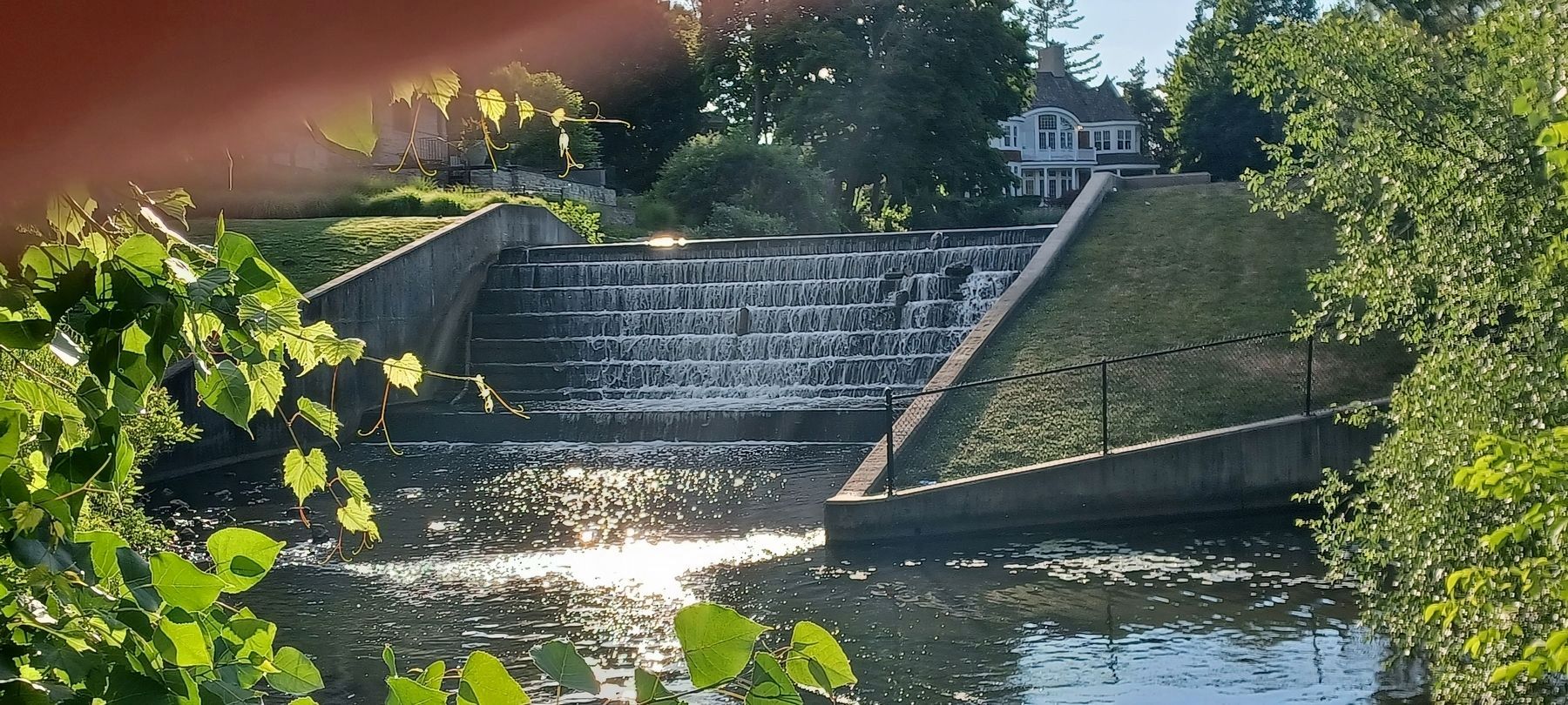
The subdivision was divided into 700 lots for new homes, which then called for the creation of a larger lake. A new dam was built in November 1918.
Since then a vibrant community has emerged both in the immediate area surrounding this beautiful water feature and beyond it as well.
Today, through the efforts of Birmingham's citizens and its leadership, the lake and the walking trails are a central feature of a larger network of parks and outdoor resources that are being cultivated to make Birminham truly a 'Walkable Community'.
Erected by City of Birmingham.
Topics. This historical marker is listed in these topic lists: Industry & Commerce • Parks & Recreational Areas • Settlements & Settlers • Waterways & Vessels. A significant historical month for this entry is November 1918.
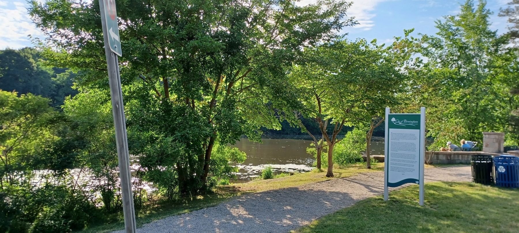
Location. 42° 32.969′ N, 83° 13.614′ W. Marker is in Birmingham, Michigan, in Oakland County. Marker is at the intersection of Lakeside Drive and Harmon Street, on the right when traveling south on Lakeside Drive. Marker is in Quarton Lake Park on the east side of Quarton Lake, about halfway between Oak Avenue and West Maple Road. Touch for map. Marker is in this post office area: Birmingham MI 48009, United States of America. Touch for directions.
Other nearby markers. At least 8 other markers are within walking distance of this marker. Birmingham Mill (approx. 0.2 miles away); Greenwood Cemetery (approx. 0.3 miles away); Baldwin Park (approx. 0.4 miles away); Allen House
(approx. 0.4 miles away); Hill Building Bell (approx. 0.4 miles away); John West Hunter Park (approx. 0.4 miles away); The John W. Hunter House (approx. 0.4 miles away); Hunter House (approx. 0.4 miles away). Touch for a list and map of all markers in Birmingham.
Credits. This page was last revised on July 5, 2022. It was originally submitted on July 5, 2022, by Joel Seewald of Madison Heights, Michigan. This page has been viewed 139 times since then and 49 times this year. Photos: 1, 2, 3, 4. submitted on July 5, 2022, by Joel Seewald of Madison Heights, Michigan.


