Near Wheeling in Carroll County, Indiana — The American Midwest (Great Lakes)
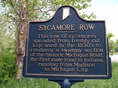
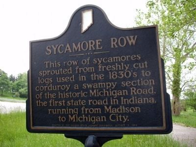
Sycamore Row
Erected 1963 by Indiana State Highway Commission. (Marker Number 08.1963.1.)
Topics and series. This historical marker is listed in these topic lists: Horticulture & Forestry • Roads & Vehicles. In addition, it is included in the Indiana Historical Bureau Markers series list.
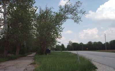
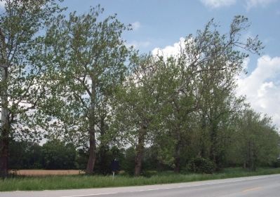
Location. This marker has been replaced by another marker nearby. It was located near 40° 36.321′ N, 86° 23.473′ W. Marker was near Wheeling, Indiana, in Carroll County. Marker was on State Road 29 north of County Road E400N, on the left when traveling north. Touch for map. Marker was in this post office area: Camden IN 46917, United States of America. Touch for directions.
Other nearby markers. At least 8 other markers are within 9 miles of this location, measured as the crow flies. A different marker also named Sycamore Row (a few steps from this marker); Fouts Soyland Farm / American Soybean Association (approx. 0.2 miles away); Deer Creek High School / Deer Creek Crickets (approx. 0.8 miles away); Flora War Memorials (approx. 7.6 miles away); Camden / Jackson Township (approx. 7.8 miles away); Flora (approx. 8.1 miles away); Duty Honor Country (approx. 8.6 miles away); Burlington (approx. 8.7 miles away).
Related marker. Click here for another marker that is related to this marker. This marker has been replaced with the linked marker, which has a different inscription.
Additional keywords. Corduroy Road
Credits. This page was last revised on January 7, 2024. It was originally submitted on May 23, 2011, by Al Wolf of Veedersburg, Indiana. This page has been viewed 965 times since then and 50 times this year. Last updated on July 5, 2022, by Trevor L Whited of Kokomo, Indiana. Photos: 1, 2, 3, 4. submitted on May 23, 2011, by Al Wolf of Veedersburg, Indiana. • Devry Becker Jones was the editor who published this page.


