Caddo Gap in Montgomery County, Arkansas — The American South (West South Central)
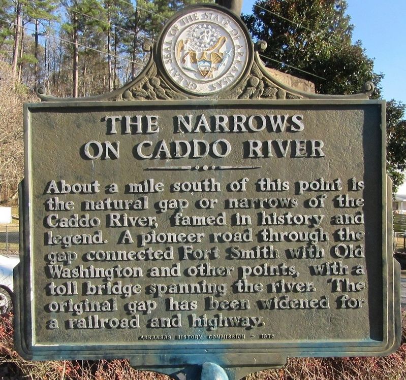
The Narrows on Caddo River
About a mile south of this point is the natural gap or narrows of the Caddo River, famed in history and legend. A pioneer road through the gap connected Fort Smith with Old Washington and other points, with a toll bridge spanning the river. The original gap has been widened for a railroad and highway.
Erected 1976 by Arkansas History Commission.
Topics. This historical marker is listed in these topic lists: Railroads & Streetcars • Roads & Vehicles.
Location. 34° 24.094′ N, 93° 37.143′ W. Marker is in Caddo Gap, Arkansas, in Montgomery County. Marker is at the intersection of Indian Valley Road and Vaught Street, on the right when traveling east on Indian Valley Road. Touch for map. Marker is in this post office area: Caddo Gap AR 71935, United States of America. Touch for directions.
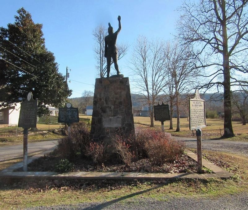
Other nearby markers. At least 7 other markers are within 11 miles of this marker, measured as the crow flies. De Soto at Caddo Gap (here, next to this marker); The Town of Caddo Gap (here, next to this marker); The Caddo People (here, next to this marker); Archeological Analysis of Norman Caddo Indian Burial Ground (approx. 4.8 miles away); Montgomery County (approx. 10.8 miles away); Montgomery County in the Civil War (approx. 10.8 miles away); Montgomery County Civil War Memorial (approx. 10.8 miles away).
Credits. This page was last revised on July 7, 2022. It was originally submitted on July 6, 2022, by Jason Armstrong of Talihina, Oklahoma. This page has been viewed 251 times since then and 53 times this year. Photos: 1, 2. submitted on July 6, 2022, by Jason Armstrong of Talihina, Oklahoma. • J. Makali Bruton was the editor who published this page.

