Cornwall in Stormont, Dundas and Glengarry United Counties, Ontario — Central Canada (North America)
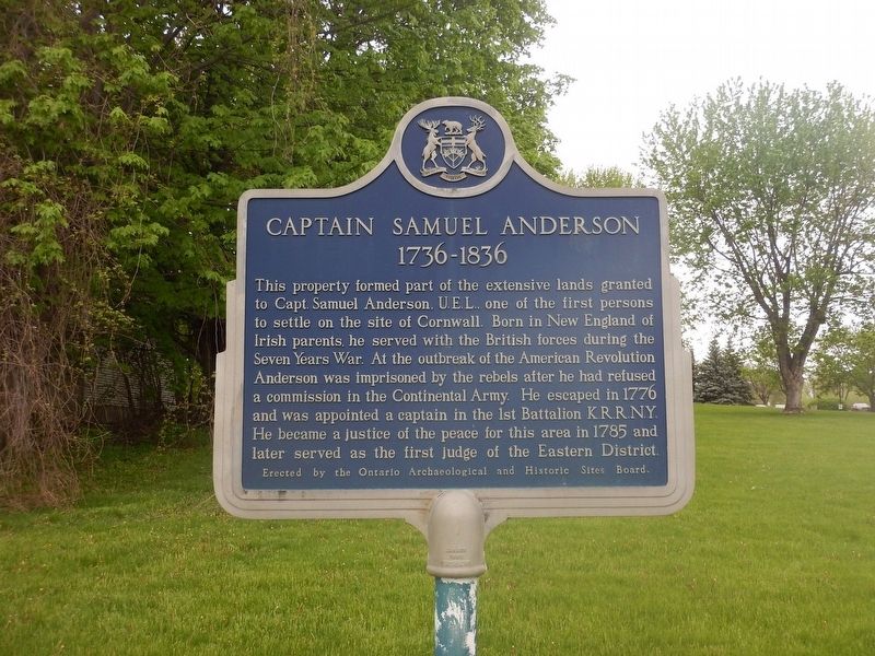
Captain Samuel Anderson
1736-1836
This property formed part of the extensive lands granted to Capt. Samuel Anderson, U.E.L., one of the first persons to settle on the site of Cornwall. Born in New England of Irish parents, he served with the British forces during the Seven Years War. At the outbreak of the American Revolution Anderson was imprisoned by the rebels after he had refused a commission in the Continental Army. He escaped in 1776 and was appointed a captain in the 1st Battalion K.R.R.N.Y. He became a justice of the peace for this area in 1785 and later served as the first judge of the Eastern District.
Erected by Ontario Archaeological and Historic Sites Board.
Topics. This historical marker is listed in these topic lists: Government & Politics • Settlements & Settlers • War, French and Indian • War, US Revolutionary. A significant historical year for this entry is 1736.
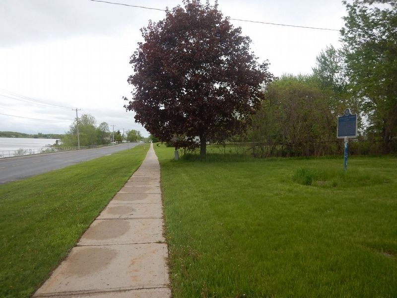
Location. 45° 1.499′ N, 74° 41.039′ W. Marker is in Cornwall, Ontario, in Stormont, Dundas and Glengarry United Counties. Marker is on Montreal Road (County Highway 2) half a kilometer east of Dunbar Avenue, on the right when traveling west. Marker is located just west of Glen Stor Dun Lodge. Touch for map. Marker is at or near this postal address: 1900 Montreal Road, Cornwall ON K6H 1G2, Canada. Touch for directions.
Other nearby markers. At least 8 other markers are within 5 kilometers of this marker, measured as the crow flies. The Stone House (approx. 0.3 kilometers away); Inverarden (approx. 1.2 kilometers away); The French Presence in Cornwall (approx. 2.3 kilometers away); Co-Cathedral of the Nativity of the Blessed Virgin Mary (approx. 2.3 kilometers away); The Glengarry Fencibles (approx. 2.8 kilometers away); The Flying Frenchmen (approx. 3.3 kilometers away); United Empire Loyalists (approx. 3.4 kilometers away); The Cornwall Orphanage / L'orphelinat de Cornwall (approx. 3.4 kilometers away). Touch for a list and map of all markers in Cornwall.
More about this marker. K.R.R.N.Y. stands for King's Royal Regiment of New York
Credits. This page was last revised on July 6, 2022. It was originally submitted on May 22, 2017, by Kevin Craft of Bedford, Quebec. This page has been viewed 319 times since then and 22 times this year. Last updated on July 6, 2022, by Robert Rusaw of Massena, New York. Photos: 1, 2. submitted on May 22, 2017, by Kevin Craft of Bedford, Quebec. • J. Makali Bruton was the editor who published this page.

