
Canton in Baltimore, Maryland — The American Northeast (Mid-Atlantic)
Baltimore Regional Trail
A House Divided
| — | War on the Chesapeake Bay | — |
Photographed by Don Morfe, December 13, 2014
1. Baltimore Regional Trail Marker
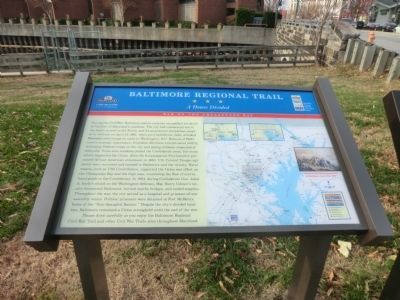
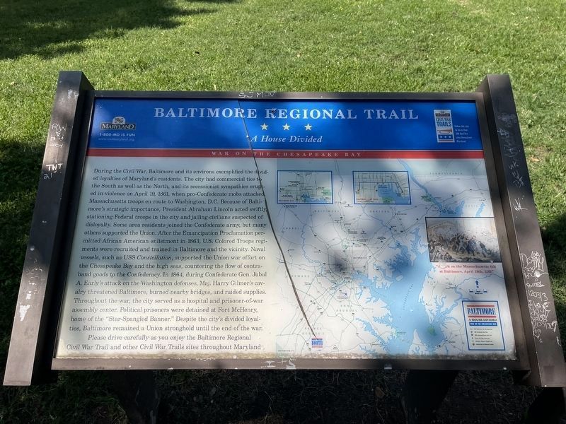
During the Civil War, Baltimore and its environs exemplified the divided loyalties of Maryland's residents. The city had commercial ties to the South as well as the North, and its secessionist sympathies erupted in violence on April 19, 1861, when pro-Confederate mobs attacked Massachusetts troops en route to Washington, D.C. Because of Baltimore's strategic importance, President Abraham Lincoln acted swiftly, stationing Federal troops in the city and jailing civilians suspected of disloyalty. Some area residents joined the Confederate army, but many others supported the Union. After the Emancipation Proclamation permitted African-American enlistment in 1863, U.S. Colored Troops regiments were recruited and trained in Baltimore and the vicinity. Naval vessels, such as USS Constellation, supported the Union war effort on the Chesapeake Bay and the high seas, countering the flow of contraband goods to the Confederacy. In 1864, during Confederate Gen. Jubal A. Early's attack on the Washington defenses, Maj. Harry Gilmor's cavalry threatened Baltimore, burned nearby bridges, and raided supplies. Throughout the war, the city
this page online
Please drive carefully as you enjoy the Baltimore Regional Civil War Trail and other Civil War Trail sites throughout Maryland.
Erected by Maryland Civil War Trails.
Topics. This historical marker is listed in this topic list: War, US Civil. A significant historical month for this entry is April 1918.
Location. 39° 16.803′ N, 76° 34.789′ W. Marker has been reported damaged. Marker is in Baltimore, Maryland. It is in Canton. It is on Boston Street west of South Lakewood Avenue, on the right when traveling south. The marker is located in Boston Street Pier Park. Touch for map. Marker is at or near this postal address: 1200 Anchorage View Ct, Baltimore MD 21224, United States of America. Touch for directions.

Regionally, this marker is in Central Maryland. It is also in the American Mid-Atlantic, in the Chesapeake Bay Region, and on the Eastern Seaboard. Globally, it is in the North Atlantic
By Devry Becker Jones (CC0), August 24, 2024
2. Baltimore Regional Trail Marker
The marker has experienced damage but remains readable.
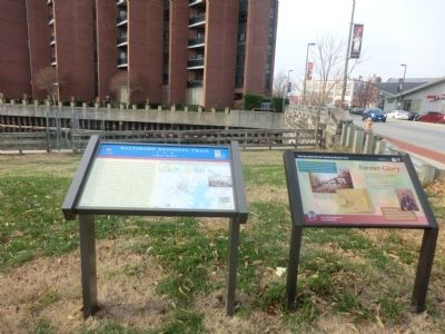
Other nearby markers. At least 8 other markers are within walking distance of this location: Former Glory (here, next to this marker); The Harris Creek Rain Garden (a few steps from this marker); Professor Trash Wheel (within shouting distance of this marker); Historic Canton (about 500 feet away, measured in a direct line); The Railroad to Freedom (approx. ¼ mile away); Frederick Douglass' Escape from Slavery (approx. ¼ mile away); a different marker also named Historic Canton (approx. ¼ mile away); a different marker also named Historic Canton (approx. 0.3 miles away). Touch for a list and map of all markers in Baltimore.
Another marker is no longer nearby. Captain John O'Donnell (was approx. ¼ mile away but has been permanently removed).
Photographed by Don Morfe, December 13, 2014
3. Baltimore Regional Trail Marker
Credits. This page was last revised on August 24, 2024. It was originally submitted on December 16, 2014, by Don Morfe of Baltimore, Maryland. This page has been viewed 1,090 times since then and 19 times this year. Last updated on July 7, 2022, by Carl Gordon Moore Jr. of North East, Maryland. Photos: 1. submitted on December 16, 2014, by Don Morfe of Baltimore, Maryland. 2. submitted on August 24, 2024, by Devry Becker Jones of Washington, District of Columbia. 3. submitted on December 16, 2014, by Don Morfe of Baltimore, Maryland. • Devry Becker Jones was the editor who published this page.
