Near Longwood in Clarke County, Virginia — The American South (Mid-Atlantic)
Col. George D. Wells Leads the Way
Battle of Cool Spring
— Early's 1864 Attack on Washington —
(Preface)
In June 1864, Confederate Gen. Robert E. Lee detached Gen. Jubal A. Early's corps from the Richmond battlefields and dispatched it to the Shenandoah Valley to counter Union Gen. David Hunter's army. After driving Hunter into West Virginia, Early launched an incursion through Maryland against Washington, D.C., to draw Union troops from Richmond and to release Confederate prisoners held at Point Lookout. On July 9, Early detached Gen. Bradley T. Johnson's cavalry brigade, including Maj. Harry Gilmor and his cavalry to raid eastward toward Baltimore. Union Gen. Lew Wallace delayed Early at the Battle of Monocacy on July 9, as Federal reinforcements strengthened the capital's defenses. Early probed them briefly on July 11-12 and then withdrew to the Shenandoah Valley, where he stopped the Federal pursuit at Cool Spring on July 17-18. Despite failing to take Washington, Early's invasion succeeded in diverting Federal resources.
(Main Text)
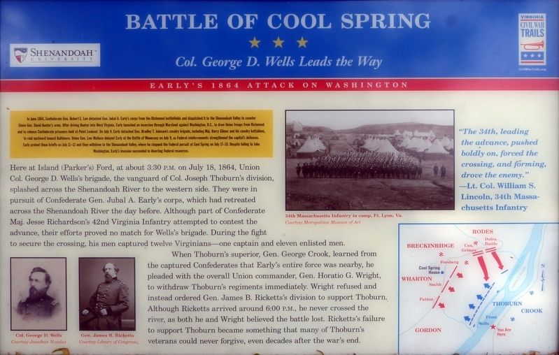
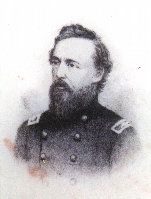
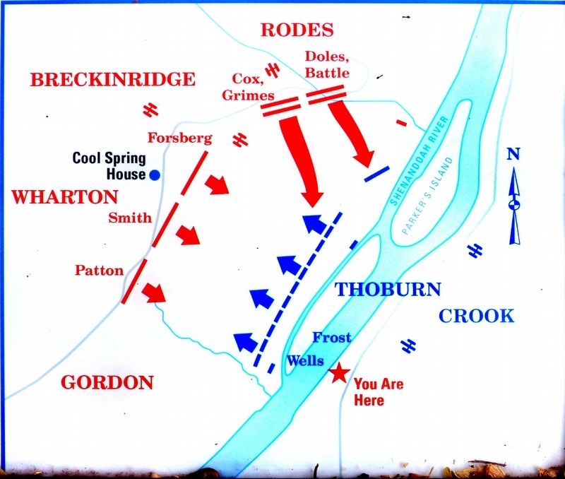
Here at Island (Parker's) Ford, at about 3:30 P.M. on July 18, 1864, Union Col. George D. Wells's brigade, the vanguard of Col. Joseph Thoburn's division, splashed across the Shenandoah River to the western side. They were in pursuit of Confederate Gen. Jubal A. Early's corps, which had retreated across the Shenandoah River the day before. Although part of Confederate Maj. Jesse Richardson's 42nd Virginia Infantry attempted to contest the advance, their efforts proved no match for Wells's brigade. During the fight to secure the crossing, his men captured twelve Virginians—one captain and eleven enlisted men.
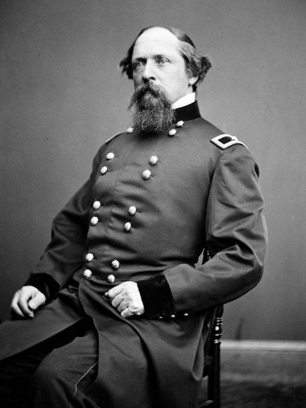
When Thoburn's superior, Gen. George Crook, learned from the captured Confederates that Early's entire force was nearby, he pleaded with the overall Union commander, Gen. Horatio G. Wright, to withdraw Thoburn's regiments immediately. Wright refused and instead ordered Gen. James B. Ricketts's division to support Thoburn. Although Ricketts arrived around 6:00 P.M., he never crossed the river, as both he and Wright believed the battle lost. Ricketts's failure to support Thoburn became something that many of Thoburn's veterans could never forgive, even decades after the war's end.
Erected by Shenandoah University, Virginia Civil War Trails.
Topics and series. This historical marker is listed in this topic list: War, US Civil. In addition, it is included in the Virginia Civil War Trails series list. A significant historical date for this entry is July 18, 1864.
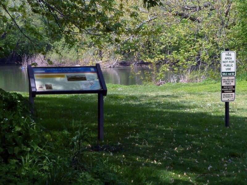
Location. 39° 8.254′ N, 77° 52.229′ W. Marker is near Longwood, Virginia, in Clarke County. Marker can be reached from Parker Lane south of Alder Lane, on the right when traveling south. Touch for map. Marker is in this post office area: Bluemont VA 20135, United States of America. Touch for directions.
Other nearby markers. At least 8 other markers are within 2 miles of this marker, measured as the crow flies. Confederate Counterattack and Union Retreat (about 400 feet away, measured in a direct line); Battle of Cool Spring (about 500 feet away); Judge Parker's “Retreat” & the Battle of Cool Spring (about 600 feet away); Thoburn’s Rescue (approx. one mile away); The Retreat (approx. 1.4 miles away); a different marker also named Battle of Cool Spring (approx. 1.4 miles away); a different marker also named Battle of Cool Spring (approx. 1˝ miles away); Castleman’s Ferry Fight (approx. 1.6 miles away). Touch for a list and map of all markers in Longwood.
Also see . . . Touring the Battle of Cool Spring. (PDF) This marker is No. 3 on the Walking Tour. (Submitted on May 1, 2019, by Allen C. Browne of Silver Spring, Maryland.)
Photographed By Allen C. Browne, April 30, 2019
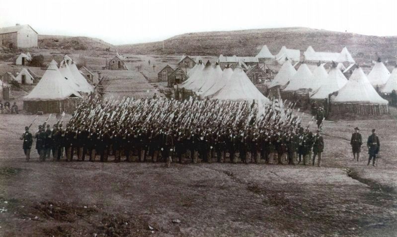
3. 34th Massachusetts Infantry in camp, Fort Lyon, Va.
“The 34th, leading the advance, pushed boldly on, forced the crossing, drove the enemy.” – Lt. Col. William S. Lincoln, 34th Massachusetts InfantryClose-up of photo on marker - Courtesy Metropolitan Museum of Art
Credits. This page was last revised on July 8, 2022. It was originally submitted on May 1, 2019, by Allen C. Browne of Silver Spring, Maryland. This page has been viewed 625 times since then and 78 times this year. Last updated on July 7, 2022, by Carl Gordon Moore Jr. of North East, Maryland. Photos: 1, 2, 3, 4, 5, 6. submitted on May 1, 2019, by Allen C. Browne of Silver Spring, Maryland. • Bernard Fisher was the editor who published this page.
