Montego Bay, St James Parish, Jamaica — Caribbean Region of the Americas (Greater Antilles of the West Indies)
Old Hospital Park
The Old Hospital Park
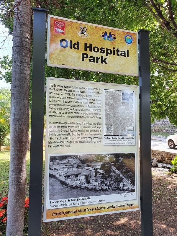
The St. James Hospital, built on the site of an earlier facility, the St. James General Marine Hospital, was opened on November 28, 1929. The Hospital, at that time, was considered a state-of-the-art medical facility and was opened to the public. It featured private wards and spacious living accommodation for doctors and nurses. Sir Reginald Edward Stubbs, while serving as Governor of Jamaica (1926-1932), initiated the construction of the Hospital, which received contributions from many prominent businessmen in St. James.
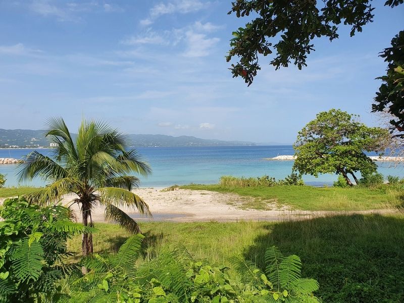
The Hospital comprised of 64 beds, all enjoying a view of the sea and the tropical breeze. In 1972, a new and much larger hospital, the Cornwall Regional Hospital, was construced in the hills overlooking Montego Bay. This was later opened in 1974. The St. James Hospital was subsequently closed and later demolished. This park now occupies the site on which the Hospital once stood.
Captions:
“St. James Hospital Opened by Lady Stubbs”
The Gleaner, Monday Dec. 2, 1929
https://newspaperarchive.com/kingstongleaner-dec-02-1929-p-15/
Photo showing the St. James Hospital (1950)
Courtesy of the Georgian Society of Jamaica (St. James Chapter)
Erected in partnership with the Georgian Society of Jamaica (St. James Chapter)
Erected by The Georgian Society of Jamaica (St. James Chapter).
Topics. This historical marker is listed in these topic lists: Colonial Era • Science & Medicine. A significant historical date for this entry is November 28, 1929.
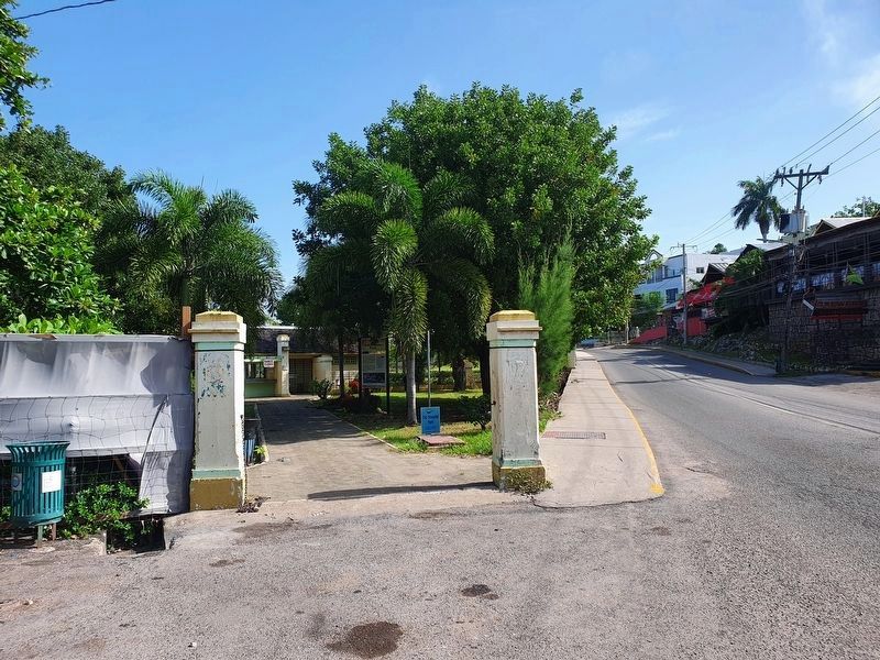
Location. 18° 28.884′ N, 77° 55.768′ W. Marker is in Montego Bay, St James Parish. Marker is on Gloucester Avenue just north of Fort Street, on the left when traveling north. Touch for map. Marker is at or near this postal address: Gloucester Ave 39, Montego Bay, St James Parish, Jamaica. Touch for directions.
Other nearby markers. At least 8 other markers are within walking distance of this marker. Montego Bay History (approx. 0.4 kilometers away); Fort Montego History (approx. half a kilometer away); Fort Montego Cannons (approx. half a kilometer away); Fort Montego Armoury (approx. half a kilometer away); The Cage (approx. 1.1 kilometers away); Sam Sharpe (approx. 1.1 kilometers away); Montego Bay Civic Centre (approx. 1.1 kilometers away); Jamaica's Independence and Royal Visit (approx. 1.1 kilometers away). Touch for a list and map of all markers in Montego Bay.
Credits. This page was last revised on July 7, 2022. It was originally submitted on July 7, 2022, by J. Makali Bruton of Accra, Ghana. This page has been viewed 498 times since then and 170 times this year. Photos: 1, 2, 3. submitted on July 7, 2022, by J. Makali Bruton of Accra, Ghana.


