Santa Cruz in Santa Cruz County, California — The American West (Pacific Coastal)
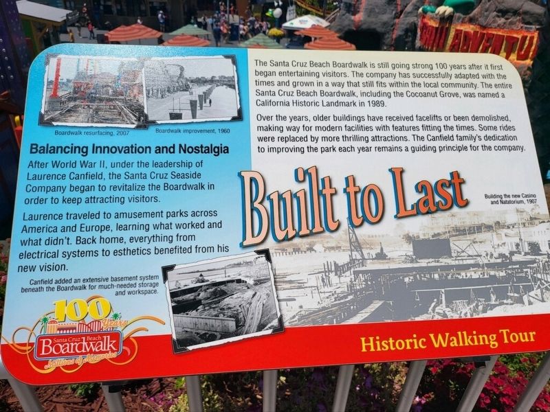
Built to Last
Historic Walking Tour
| — | 100 Years Santa Cruz Beach Boardwalk - Millions of Memories | — |
Photographed by Joseph Alvarado, July 7, 2022
1. Built to Last Marker
Over the years, older buildings have received facelifts or been demolished, making way for modern facilities with features fitting the times. Some rides were replaced by more thrilling attractions. The Canfield Family’s dedication to improving the park each year remains a guiding principle for the company.
Balancing Innovation and Nostalgia
After World War II, under the leadership of Laurence Canfield, the Santa Cruz Seaside Company began to revitalize the Boardwalk in order to keep attracting visitors.
Laurence traveled to amusement parks across America and Europe, learning what worked and what didn’t. Back home, everything from electrical systems to esthetics benefited from his new vision.
Erected by Santa Cruz Beach Boardwalk.
Topics. This historical marker is listed
this page online
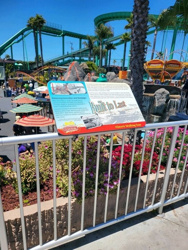
Location. 36° 57.899′ N, 122° 0.806′ W. Marker is in Santa Cruz, California, in Santa Cruz County. It can be reached from Beach Street. The marker is mounted to the railing on the boardwalk, above the Cave Train. Touch for map. Marker is at or near this postal address: 400 Beach Street, Santa Cruz CA 95060, United States of America. Touch for directions.

Regionally, this marker is on the Central Coast and specifically on the Coast Ranges. It is also on the American Pacific Coast. Globally, it is in North America, on the Ring of Fire, in the Pacific Rim, in the Western Hemisphere, in the Western World, and in the Anglosphere. Historically, it finds itself in what was once New Spain and also Mexico’s Alta California.
Other nearby markers. At least 8 other markers are within walking distance of this marker: Hang on for the Ride (within shouting distance of this marker); Surf's Up (within shouting distance of this marker); Leo the Lion (about 300 feet away, measured in a direct line); Whiting's Foods (about
Photographed by Jeff Horan of Gustine, California, July 7, 2022
2. Built to Last Marker
Credits. This page was last revised on July 12, 2022. It was originally submitted on July 8, 2022, by Joseph Alvarado of Livermore, California. This page has been viewed 396 times since then and 11 times this year. Photos: 1, 2. submitted on July 9, 2022, by Joseph Alvarado of Livermore, California. • Syd Whittle was the editor who published this page.
