Monroe in Monroe County, Michigan — The American Midwest (Great Lakes)
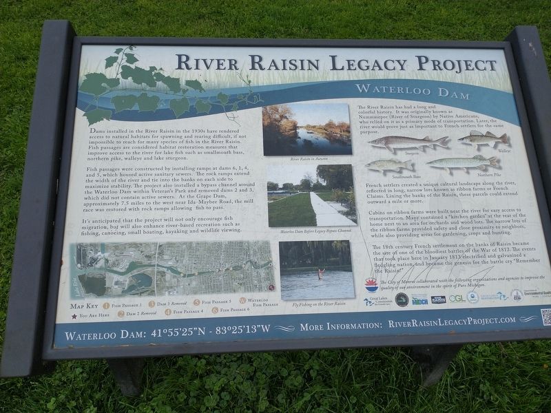
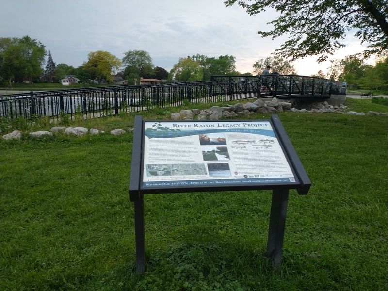
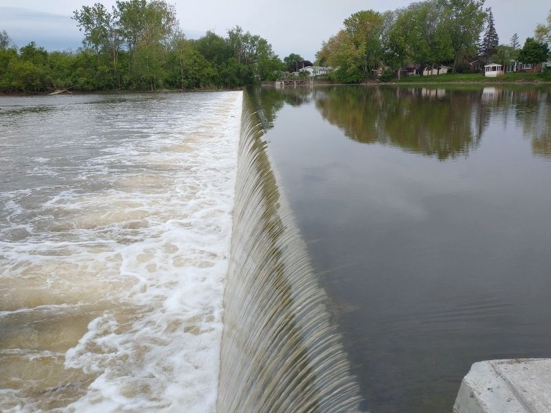
Waterloo Dam
River Raisin Legacy Project
Dams installed in the River Raisin in the 1930s have rendered access to natural habitats for spawning and rearing difficult, if not impossible to reach for many species of fish in the River Raisin. Fish passages are considered habitat restoration measures that improve access to the river for lake fish such as smallmouth bass, northern pike, walleye and lake sturgeon.
Fish passages were constructed by installing ramps at dams 6, 1, 4, and 5, which housed active sanitary sewers. The rock ramps extend the width of the river and tie into the banks on each side to maximize stability. The project also installed a bypass channel around the Waterloo Dam within Veteran's Park and removed dams 2 and 3, which did not contain active sewers. At the Grape Dam, approximately 7.5 miles to the west near Ida-Maybee Road, the mill race was restored with rock ramps allowing fish to pass.
It's anticipated that the project will not only encourage fish migration, but will also enhance river-based recreation such as fishing, canoeing, small boating, kayaking and wildlife viewing.
The River Raisin has had a long and colorful history. It was originally known as Nummasepee (River of Sturgeon) by Native Americans, who relied on it as a primary mode of transportation. Later, the river would prove just as important to French settlers for the same purpose.
French settlers created a unique cultural landscape along the river, reflected in long, narrow lots known as ribbon farms or French Claims. Lining the banks of the Raisin, these parcels could extend outward a mile or more.
Cabins on ribbon farms were built near the river for easy access to transportation. Many contained a "kitchen garden” at the rear of the home next to an area for orchards and wood lots. The narrow lots of the ribbon farms provided safety and close proximity to neighbors, while also providing areas for gardening, crops and hunting.
The 18th century French settlement on the banks of Raisin became the site of one of the bloodiest battles of the War of 1812. The events that took place here in January 1813 electrified and galvanized a fledgling nation, and became the genesis for the battle cry "Remember the Raisin!"
Topics. This historical marker is listed in these topic lists: War of 1812 • Waterways & Vessels. A significant historical month for this entry is January 1813.
Location. 41° 55.458′ N, 83° 25.192′ W. Marker is in Monroe, Michigan, in Monroe County. Marker is on East 2nd Street, on the right when traveling east. Touch for map. Marker is in this post office area: Monroe MI 48161, United States of America. Touch for directions.
Other nearby markers. At least 8 other markers are within walking distance of this marker. Waterloo Dam 1820 (within shouting distance of this marker); Lt. Col. Matt L. Urban (about 400 feet away, measured in a direct line); Monroe County Persian Gulf War Memorial (about 500 feet away); Monroe County War On Terror Memorial (about 500 feet away); Veterans Of Foreign Wars Memorial (about 500 feet away); Monroe County World War II Memorial (about 600 feet away); Monroe County World Wars Memorial (about 600 feet away); Monroe County World War I Memorial (about 600 feet away). Touch for a list and map of all markers in Monroe.
Credits. This page was last revised on July 12, 2022. It was originally submitted on July 9, 2022, by Craig Doda of Napoleon, Ohio. This page has been viewed 276 times since then and 67 times this year. Photos: 1, 2, 3. submitted on July 9, 2022, by Craig Doda of Napoleon, Ohio. • J. Makali Bruton was the editor who published this page.


