Kenbridge in Lunenburg County, Virginia — The American South (Mid-Atlantic)
St. John’s Church
Stolen Silver
| — | Wilson-Kautz Raid | — |
Photographed by Bernard Fisher, June 21, 2009
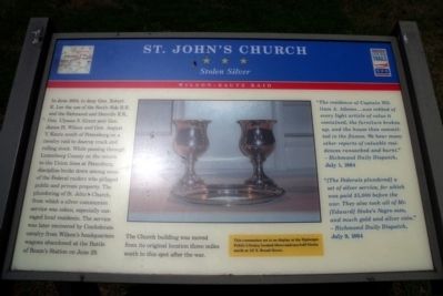
1. St. John's Church CWT Marker
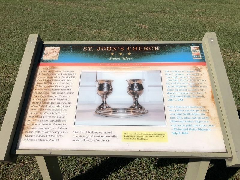
In June 1864, to deny Gen. Robert E. Lee the use of the South Side R.R. and the Richmond and Danville R.R., Gen. Ulysses S. Grant sent Gen. James H. Wilson and Gen. August V. Kautz south of Petersburg on a cavalry raid to destroy track and rolling stock. While passing through Lunenburg County on the return to the Union 1ines at Petersburg, discipline broke down among some of the Federal raiders who pillaged public and private property. The plundering of St. John's Church, from which a silver communion service was taken, especially outraged local residents. The service was later recovered by Confederate cavalry from Wilson's headquarters wagons abandoned at the Battle of Ream's Station on June 29. The Church building was moved from its original location three miles south to this spot after the war.
[Sidebar:]
This communion set is on display at the Ripberger Public Library, located three-and-one-half blocks north at 117 S. Broad Street.
“The residence of Captain William A. Adams...was robbed of every light article of value it contained, the furniture broken up, and the house then committed to the flames. We hear many other reports of valuable residences ransacked and burnt.”- Richmond Daily Dispatch, July 1, 1864
Click or scan to see
this page online
“[The Federals plundered] a set of silver service, for which was paid $5,000 before the war. They also took all of Mr. [Edward] Stoke’s Negro men, and much gold and silver coin.” - Richmond Daily Dispatch, July 9, 1864
Erected by Virginia Civil War Trails.
Topics. This historical marker is listed in these topic lists: Religion & Religious Structures • War, US Civil. A significant historical month for this entry is June 1864.
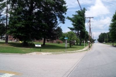
Location. 36° 57.513′ N, 78° 7.721′ W. Marker has been reported damaged. Marker is in Kenbridge, Virginia, in Lunenburg County. It is at the intersection of Shade Street and South Broad Street, on the left when traveling east on Shade Street. Touch for map. Marker is in this post office area: Kenbridge VA 23944, United States of America. Touch for directions.

Regionally, this marker is in the Piedmont, in Southside Virginia, and specifically in Central Virginia. It is also in the American South and specifically in the Upper South. Globally, it is in North America, the Western Hemisphere, the Western World, and the Anglosphere. Historically, it finds itself
Photographed by Devry Becker Jones (CC0), September 24, 2021
2. St. John’s Church Marker
The marker has heavily weathered but still remains readable.
Other nearby markers. At least 8 other markers are within 6 miles of this location, measured as the crow flies: A different marker also named Craig's Mill (approx. 0.2 miles away); Town of Kenbridge (approx. 0.2 miles away); Kennedy's Store ca. 1908 (approx. 0.4 miles away); St. Luke's Episcopal Church (approx. 0.7 miles away); The Glebe of Cumberland Parish (approx. 2.3 miles away); Lunenburg High School (approx. 4.6 miles away); Lunenburg County / Nottoway County (approx. 4.8 miles away); Nathaniel Lee Hawthorne (approx. 5½ miles away). Touch for a list and map of all markers in Kenbridge.
Other markers no longer nearby. Craig's Mill (was approx. 0.2 miles away but has been replaced with another marker now near it); a different marker also named Lunenburg County / Nottoway County (was approx. 4.8 miles away but has been replaced with another marker now near it).
More about this marker. In the center is a photo of the communion set.
Photographed by Bernard Fisher, June 21, 2009
3. Shade St & S Broad St.
Credits. This page was last revised on November 9, 2021. It was originally submitted on June 22, 2009, by Bernard Fisher of Richmond, Virginia. This page has been viewed 1,482 times since then and 45 times this year. Photos: 1. submitted on June 22, 2009, by Bernard Fisher of Richmond, Virginia. 2. submitted on September 26, 2021, by Devry Becker Jones of Washington, District of Columbia. 3. submitted on June 22, 2009, by Bernard Fisher of Richmond, Virginia.
