Chambersburg in Franklin County, Pennsylvania — The American Northeast (Mid-Atlantic)
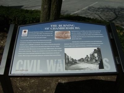
The Burning of Chambersburg
Franklin
— Civil War Trails —
During the Gettysburg campaign, Confederate troops were restrained, under orders, from destroying non-government property. By the time of the Rebels’ next raid into the North, however, the policy had changed.
On July 30, 1864, Brigadier General John McCausland and 2,800 Confederate cavalrymen entered Chambersburg and demanded $100,000 in gold or $500,000 in greenbacks. The residents of Chambersburg failed to raise the ransom, and McCausland ordered his men to burn the town. Flames destroyed more than 500 structures leaving more than 2,000 homeless. One resident died of smoke inhalation. Damage was estimated at more than $1.6 million. To make matters worse, many inebriated Confederate soldiers looted homes and abused civilians. Mobs of angry townspeople looking for retribution killed several Rebels.
Good Samaritans in the Rebel ranks helped citizens escape and save their valuables; a Confederate captain even ordered his company to douse the flames. One officer, Colonel William Peters, staunchly refused to take part in the burning. McCausland had him placed under arrest.
Chambersburg was the only Northern town the Confederates destroyed. The raid inspired a national aid campaign and influenced the Union Army to adopt a more aggressive strategy, contributing to the war’s end.
Erected 2009 by Pennsylvania Civil War Trails.
Topics and series. This historical marker is listed in this topic list: War, US Civil. In addition, it is included in the Pennsylvania Civil War Trails series list. A significant historical date for this entry is July 30, 1864.
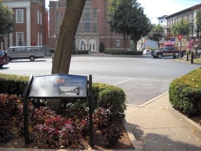
Location. 39° 56.239′ N, 77° 39.664′ W. Marker is in Chambersburg, Pennsylvania, in Franklin County. Marker is at the intersection of South Main Street (U.S. 11) and Lincoln Way (U.S. 30), on the right when traveling north on South Main Street. Touch for map. Marker is at or near this postal address: 100 Lincoln Hwy, Chambersburg PA 17201, United States of America. Touch for directions.
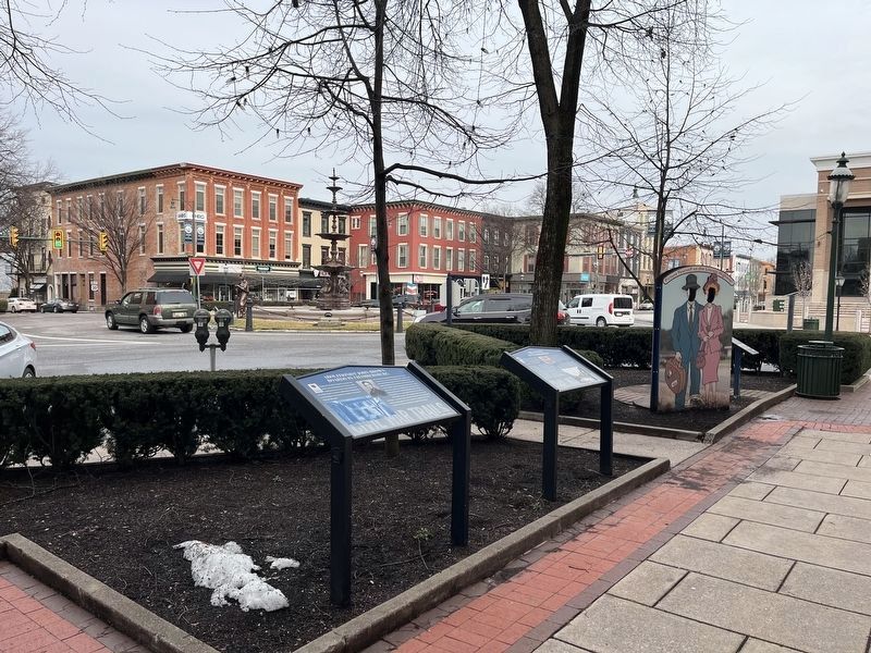
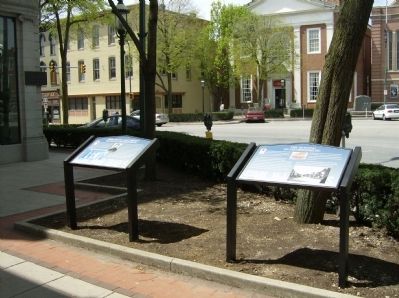
Other nearby markers. At least 8 other markers are within walking distance of this marker. Abolitionist John Brown Boards in Chambersburg (here, next to this marker); Chambersburg Founded A.D. 1764 (a few steps from this marker); Finding Your Way (a few steps from this marker); War Between the States (within shouting distance of this marker); Union Soldiers of Franklin County (within shouting distance of this marker); French & Indian War – Revolutionary War – War of 1812 (within shouting distance of this marker); Mexican War – Spanish American War – World War (within shouting distance of this marker); U.S.S. Maine Memorial (within shouting distance of this marker). Touch for a list and map of all markers in Chambersburg.
More about this marker. The marker displays a
Credits. This page was last revised on March 1, 2024. It was originally submitted on May 2, 2009, by Robert H. Moore, II of Winchester, Virginia. This page has been viewed 4,552 times since then and 28 times this year. Last updated on July 10, 2022, by Carl Gordon Moore Jr. of North East, Maryland. Photos: 1. submitted on May 2, 2009, by Robert H. Moore, II of Winchester, Virginia. 2. submitted on March 1, 2024, by Devry Becker Jones of Washington, District of Columbia. 3. submitted on September 1, 2010, by Bill Coughlin of Woodland Park, New Jersey. 4. submitted on May 2, 2009, by Robert H. Moore, II of Winchester, Virginia. • Bernard Fisher was the editor who published this page.


