Montego Bay, St James Parish, Jamaica — Caribbean Region of the Americas (Greater Antilles of the West Indies)
Montego Bay
Jamaica Heritage Trail
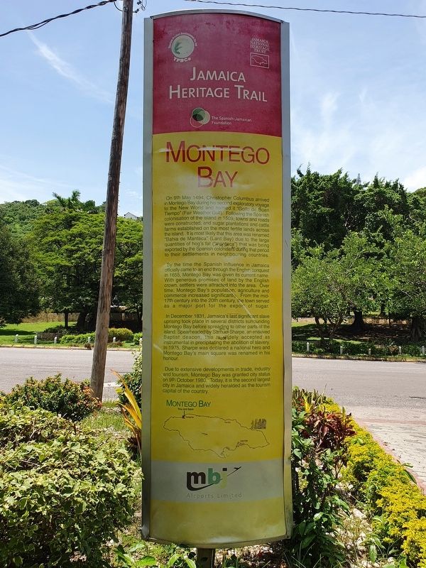
Inscription.
On 9th May 1494, Christopher Columbus arrived in Montego Bay during his second exploratory voyage to the New World and named it “Golfo de Buen Tiempo” (Fair Weather Gulf). Following the Spanish colonization of the island in 1509, towns and roads were constructed, and sugar plantations and cattle farms established on the most fertile lands across the island. It is most likely that this area was renamed “Bahia de Manteca” (Lard Bay) due to the large quantities of hog’s fat (“manteca”) that was exported by the Spanish colonisers during that period to their settlements in neighbouring countries.
By the time the Spanish influence in Jamaica officially came to an end through the English conquest in 1655, Montego Bay was given its current name. With generous promises of land by the English crown, settlers were attracted to the area. Over time, Montego Bay’s population, agriculture and commerce increased significantly. From the mid-17th century into the 20th century, the town served as a major port for the export of sugar.
In December 1831, Jamaica’s last significant slave uprising took place in several districts surrounding Montego Bay before spreading to other parts of the island. Spearheaded by Samuel Sharpe, an enslaved Baptist deacon, this is widely accepted as instrumental in precipitating the abolition of slavery. In 1975, Sharpe was declared a national hero and Montego Bay’s main square was renamed in his honour.
Due to extensive developments in trade, industry and tourism, Montego Bay was granted city status on 9th October 1980. Today, it is the second largest city in Jamaica and widely heralded as the tourism capital of the country.
Montego Bay
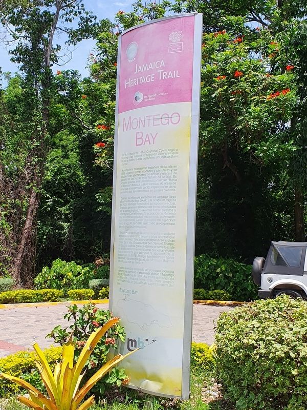
El 9 de mayo de 1494, Cristóbal Colón llegó a Montego Bay durante su segundo viaje al Nuevo Mundo y denominó este lugar como el “Golfo de Buen Tiempo”.
A partir de la colonización Española de la isla en 1509 se construyeron ciudades y carreteras y se establecieron plantaciones de azúcar y granjas de ganado en las tierras más fértiles de la isla. Es probable que esta área fuera rebautizada como “Bahía de Manteca” debido a la gran cantidad de grasa de jabalí que era exportada por los españoles en dicho periodo a los asentamientos en países vecinos.
Cuando la influencia Española en Jamaica llegó oficialmente a su final debido a la conquista inglesa en 1655, Montego Bay recibió su topónimo actual. Gracias a generosas promesas de tierras efectuadas por la corona inglesa, los colonos fueron atraídos a esta región. Con el tiempo, la población de Montego Bay asi como su agricultura y su comercio aumentaron significativamente. Desde mediados del siglo XVII hasta el siglo XX, la ciudad sirvió como puerto principal para la exportación de azúcar.
En diciembre de 1831, la última revuelta importante de esclavos tuvo como origen varous distritos que rodean Montego Bay antes de expandirse a otras zonas de la isla. Encabezada por Samuel Sharpe, un diacono baptista que era esclavo a su vez, existe un amplio consenso en considerar que esta revuelta fue el detonante que precipitó la abolición de la esclavitud. En 1975, Sharpe fue declarado héroe nacional y la principal plaza de Montego Bay fue rebautizada con su nombre.
Debido al notable desarrollo del comercio, industria y turismo, se concedió el estatus de ciudad a Montego Bay el 9 de octubre de 1980. Hoy dia es la segunda ciudad de Jamaica y ostenta, con amplio reconocimiento, el galardón de capital turística del país.
Topics. This historical marker is listed in these topic lists: African Americans • Civil Rights • Colonial Era. A significant historical date for this entry is May 9, 1494.
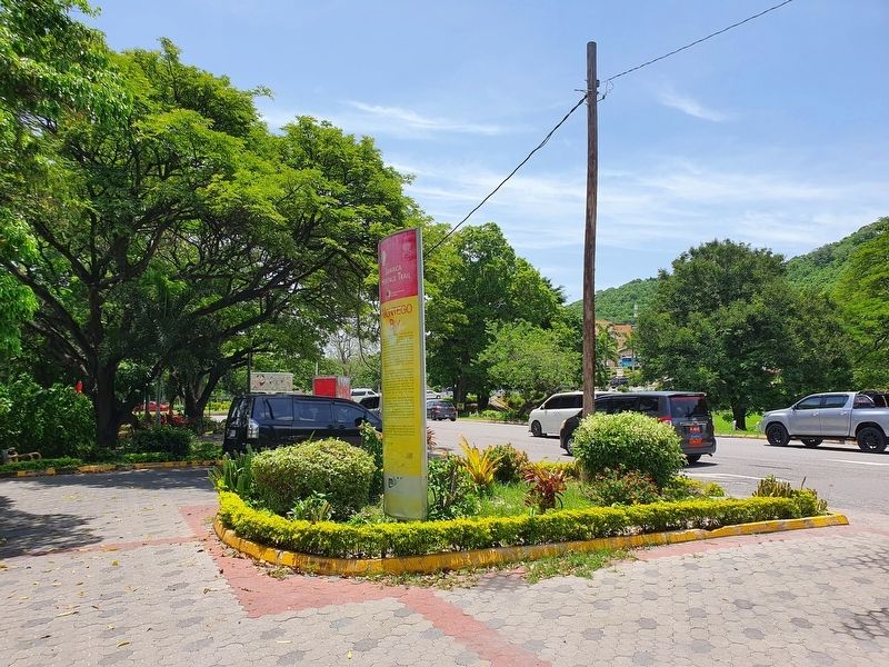
Location. 18° 29.701′ N, 77° 55.066′ W. Marker is in Montego Bay, St James Parish. Marker is on Sunset Boulevard just east of The Queens Drive, on the left when traveling east. Touch for map. Touch for directions.
Other nearby markers. At least 8 other markers are within 3 kilometers of this marker, measured as the crow flies. Old Hospital Park (approx. 2 kilometers away); Fort Montego Armoury (approx. 2 kilometers away); Fort Montego History (approx. 2 kilometers away); Montego Bay History (approx. 2 kilometers away); Fort Montego Cannons (approx. 2.1 kilometers away); The Cage (approx. 2.4 kilometers away); Sam Sharpe (approx. 2.4 kilometers away); Montego Bay Civic Centre (approx. 2.4 kilometers away). Touch for a list and map of all markers in Montego Bay.
Credits. This page was last revised on July 10, 2022. It was originally submitted on July 10, 2022, by J. Makali Bruton of Accra, Ghana. This page has been viewed 68 times since then and 8 times this year. Photos: 1, 2, 3. submitted on July 10, 2022, by J. Makali Bruton of Accra, Ghana.


