Newton in Newton County, Texas — The American South (West South Central)
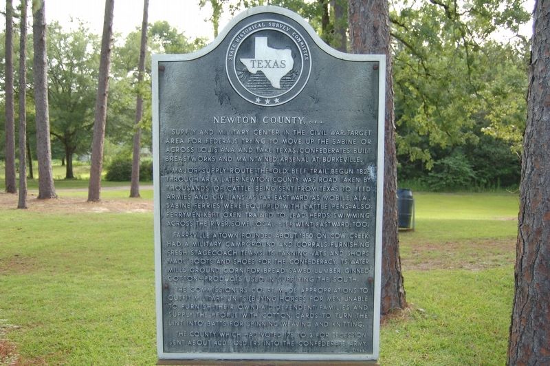
Newton County, C.S.A.
Supply and military center in the Civil War. Target area for Federals trying to move up the Sabine or across Louisiana and take Texas. Confederates built breastworks and maintained arsenal at Burkeville. Major supply route, "The Old Beef Trail", begun 1823 through area later Newton County. Was a road taken by thousands of cattle being sent from Texas to feed armies and civilians as far eastward as Mobile, Ala. Sabine ferries were equipped with cattle pens: Also ferrymen kept oxen trained to lead herds swimming across the river. Some local beef went eastward, too. Farrsville, a town founded about 1850 on Cow Creek, had a military campground and corrals furnishing fresh stagecoach teams. Its tanning vats and shops made boots and shoes for the Confederacy. Its water mills ground corn for bread, sawed lumber, ginned cotton-- products used in supplying the South. The commissioners court made appropriations to outfit military units (buying horses for men unable to furnish their own), aid dependent families, and supply the people with cotton cards to turn the lint into batts for spinning, weaving and knitting. The county, which had voted 178 to 3 for secession, sent about 400 soldiers into the Confederate army.
Erected 1965 by State Historical Survey Committee. (Marker Number 11145.)
Topics. This historical marker is listed in these topic lists: Political Subdivisions • War, US Civil. A significant historical year for this entry is 1823.
Location. 30° 48.887′ N, 93° 43.1′ W. Marker is in Newton, Texas, in Newton County. Marker is on Highway 190 west of Hickory Lane, on the right when traveling west. Touch for map. Marker is in this post office area: Newton TX 75966, United States of America. Touch for directions.
Other nearby markers. At least 8 other markers are within 4 miles of this marker, measured as the crow flies. A different marker also named Newton County (a few steps from this marker); Historic Roadside Park (a few steps from this marker); Ford Chapel, Cemetery, and School (approx. 3 miles away); Autrey-Williams House (approx. 3.3 miles away); W. H. Ford Male & Female College (approx. 3.4 miles away); Newton County Pre-War Maneuvers (approx. 3.4 miles away); Town of Newton (approx. 3.4 miles away); Newton County Courthouse (approx. 3.4 miles away). Touch for a list and map of all markers in Newton.
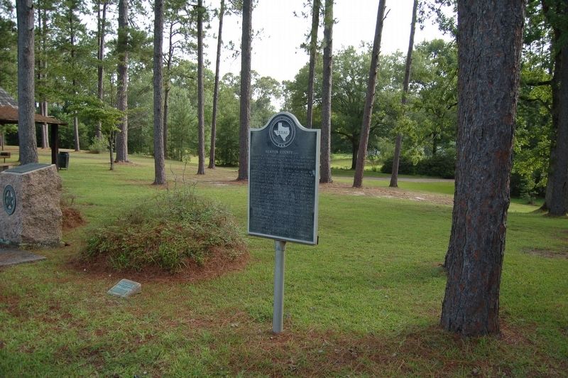
More about this marker. Located in a Historic Texas Roadside Park
Credits. This page was last revised on November 3, 2023. It was originally submitted on July 26, 2019, by Cajun Scrambler of Assumption, Louisiana. This page has been viewed 515 times since then and 65 times this year. Last updated on July 11, 2022, by Joe Lotz of Denton, Texas. Photos: 1, 2. submitted on July 26, 2019. • J. Makali Bruton was the editor who published this page.

