Monterey in Franklin County, Pennsylvania — The American Northeast (Mid-Atlantic)
The Maria Furnace Road
Nichols Gap Road & The Gateway to Appalachia
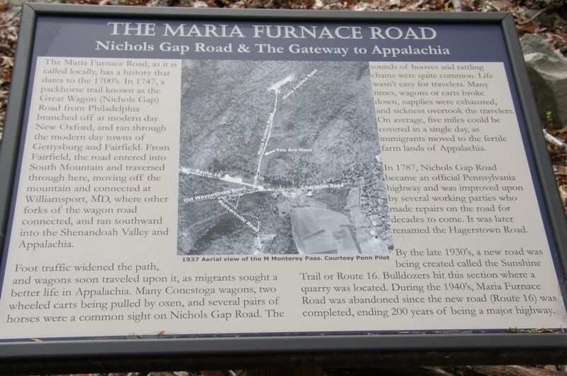
The Maria Furnace Road, as it is called locally, has a history that dates to the 1700’s. In 1747, a packhorse trail known as the Great Wagon (Nichols Gap) Road from Philadelphia branched off at modern day New Oxford, and ran through the modern towns of Gettysburg and Fairfield. From Fairfield, the road entered into South Mountain and traversed through here, moving off the mountain and connected at Williamsport, MD, where other forks of the wagon road connected, and ran southward into the Shenandoah Valley and Appalachia.
Foot traffic widened the path, and wagons soon traveled upon it, as migrants sought a better life in Appalachia. Many Conestoga wagons, two wheeled carts being pulled by oxen, and several pairs of horses were a common sight on Nicholas Gap Road. The sounds of hooves and rattling chains were quite common. Life wasn’t easy for travelers. Many times, wagons or carts broke down, supplies were exhausted, and sickness overtook the travelers. On average, five miles could be covered in a single day, as immigrants moved to the fertile farm lands of Appalachia.
In 1787, Nichols Gap Road became an official Pennsylvania highway and was improved by several working parties who made repairs to the road for decades to come. It was later renamed the Hagerstown Road.
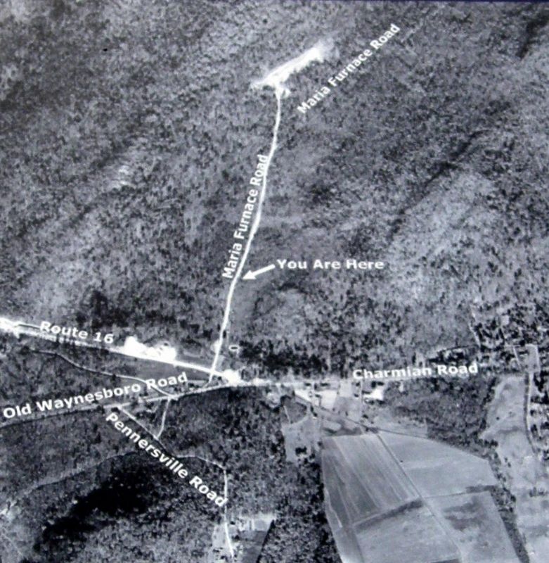
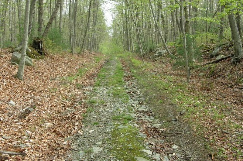
By the late 1930’s, a new road was being created called the Sunshine Trail or Route 16. Bulldozers hit this section where a quarry was located. During the 1940’s, Maria Furnace Road was abandoned since the new road (Route 16) was completed, ending 200 years of being a major highway.
Erected by Monterey Pass Battlefield Park.
Topics. This historical marker is listed in these topic lists: Roads & Vehicles • War, US Civil. A significant historical year for this entry is 1747.
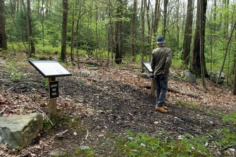
Location. 39° 44.57′ N, 77° 28.763′ W. Marker is in Monterey, Pennsylvania, in Franklin County. Marker can be reached from Maria Furnace Road. The marker is located at the intersection of the Johnny Reb and Maria Furnace Trails. Touch for map. Marker is at or near this postal address: Monterey Pass Battlefield Park, Waynesboro PA 17268, United States of America. Touch for directions.
Other nearby markers. At least 8 other markers are within walking distance of this marker. The Battle of Monterey Pass (a few steps from this marker); The Retreat From Gettysburg (within shouting distance of this marker); a different marker also named The Battle of Monterey Pass (approx. 0.2 miles away); a different marker also named The Battle of Monterey Pass (approx. 0.2 miles away); Before The Battle Of Gettysburg (approx. 0.2 miles away); a different marker also named The Retreat From Gettysburg (approx. ¼ mile away); Blue Ridge Summit Lions (approx. ¼ mile away); The Raid On Harpers Ferry (approx. ¼ mile away). Touch for a list and map of all markers in Monterey.
Also see . . . Battle of Monterey Pass ~ Maria Furnace Road Hike. YouTube video (18m 51s) (Submitted on June 14, 2022, by Larry Gertner of New York, New York.)
Credits. This page was last revised on July 11, 2022. It was originally submitted on June 14, 2022, by Larry Gertner of New York, New York. This page has been viewed 812 times since then and 78 times this year. Last updated on July 11, 2022, by Carl Gordon Moore Jr. of North East, Maryland. Photos: 1, 2, 3, 4. submitted on June 14, 2022, by Larry Gertner of New York, New York. • Bill Pfingsten was the editor who published this page.


