Georgetown in Georgetown County, South Carolina — The American South (South Atlantic)
Beneventum Plantation
(front)
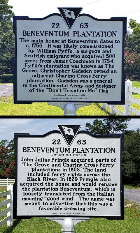
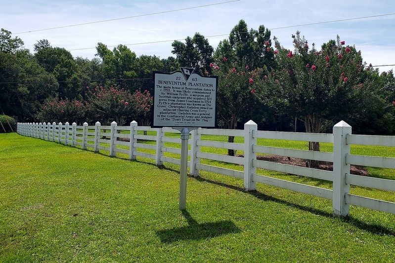
The main house at Beneventum dates to ca.1755. It was likely commissioned by William Fyffe, a surgeon and Scottish emigrant who acquired 500 acres from James Coachman in 1754. Fyffe's plantation was known as The Grove. Christopher Gadsden owned an adjacent plantation called Charing Cross Ferry. Gadsden was a statesman and Patriot, serving as a brigadier general in the Continental Army and designer of the "Don't Tread on Me" flag.
Erected 2017 by Pee Dee Land Trust. (Marker Number 22-63.)
Topics. This historical marker is listed in these topic lists: Colonial Era • Settlements & Settlers • War, US Revolutionary • Waterways & Vessels. A significant historical year for this entry is 1755.
Location. 33° 26.766′ N, 79° 15.891′ W. Marker is in Georgetown, South Carolina, in Georgetown County. Marker is at the intersection of Beneventum Road and Kingsbury Place, on the right when traveling east on Beneventum Road. Touch for map. Marker is at or near this postal address: 604 Beneventum Road, Georgetown SC 29440, United States of America. Touch for directions.
Other nearby markers. At least 8 other markers are within 6 miles of this marker, measured as the crow flies. Sergeant McDonald (approx. 4.1 miles away); Friendly Aid Society / Rosemont School (approx. 4.6 miles away); Gabriel Marion (approx. 4.9 miles away); General Arthur M. Manigault (approx. 5 miles away); Potter's Field (approx. 5.2 miles away); Mount Olive Baptist Church (approx. 5.2 miles away); Winyah Schools (approx. 5.2 miles away); Howard School (approx. 5.2 miles away). Touch for a list and map of all markers in Georgetown.
Credits. This page was last revised on July 15, 2022. It was originally submitted on July 14, 2022, by Kent C Hermes of Georgetown, South Carolina. This page has been viewed 406 times since then and 80 times this year. Photos: 1, 2, 3. submitted on July 14, 2022, by Kent C Hermes of Georgetown, South Carolina. • Bernard Fisher was the editor who published this page.


