Agate in Sioux County, Nebraska — The American Midwest (Upper Plains)
Daemonelix
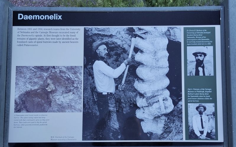
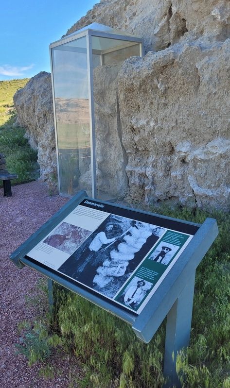
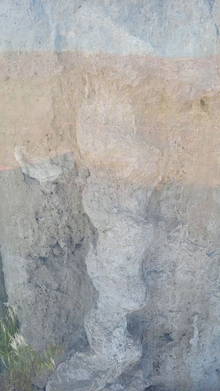
Between 1891 and 1904, research teams from the University of Nebraska and the Carnegie Museum excavated many of the Daemonelix spirals. At first thought to be the fossil remains of gigantic plants, they were later identified as the fossilized casts of spiral burrows made by ancient beavers called Palaeocastor.
[captions:]
A Palaeocastor skull found inside a corkscrew burrow. This plant-eating rodent had deep rooted teeth that continued to grow as they wore down. Their teeth were used to dig the spiral burrows, while powerful forelimbs pushed the dirt behind.
Dr. Erwin H. Barbour of the University of Nebraska developed the plant theory about Daemonelix. Because of his preoccupation with Daemonelix, he narrowly missed discovering the Agate bonebed while here in 1892.
Olaf A. Peterson, of the Carnegie Museum in Pittsburgh, dispelled Barbour's plant theory about the Daemonelix when he found fossil beaver skeletons within the spiral burrows.
Erected by National Park Service, U.S. Department of the Interior.
Topics. This historical marker is listed in these topic lists: Paleontology • Parks & Recreational Areas. A significant historical year for this entry is 1891.
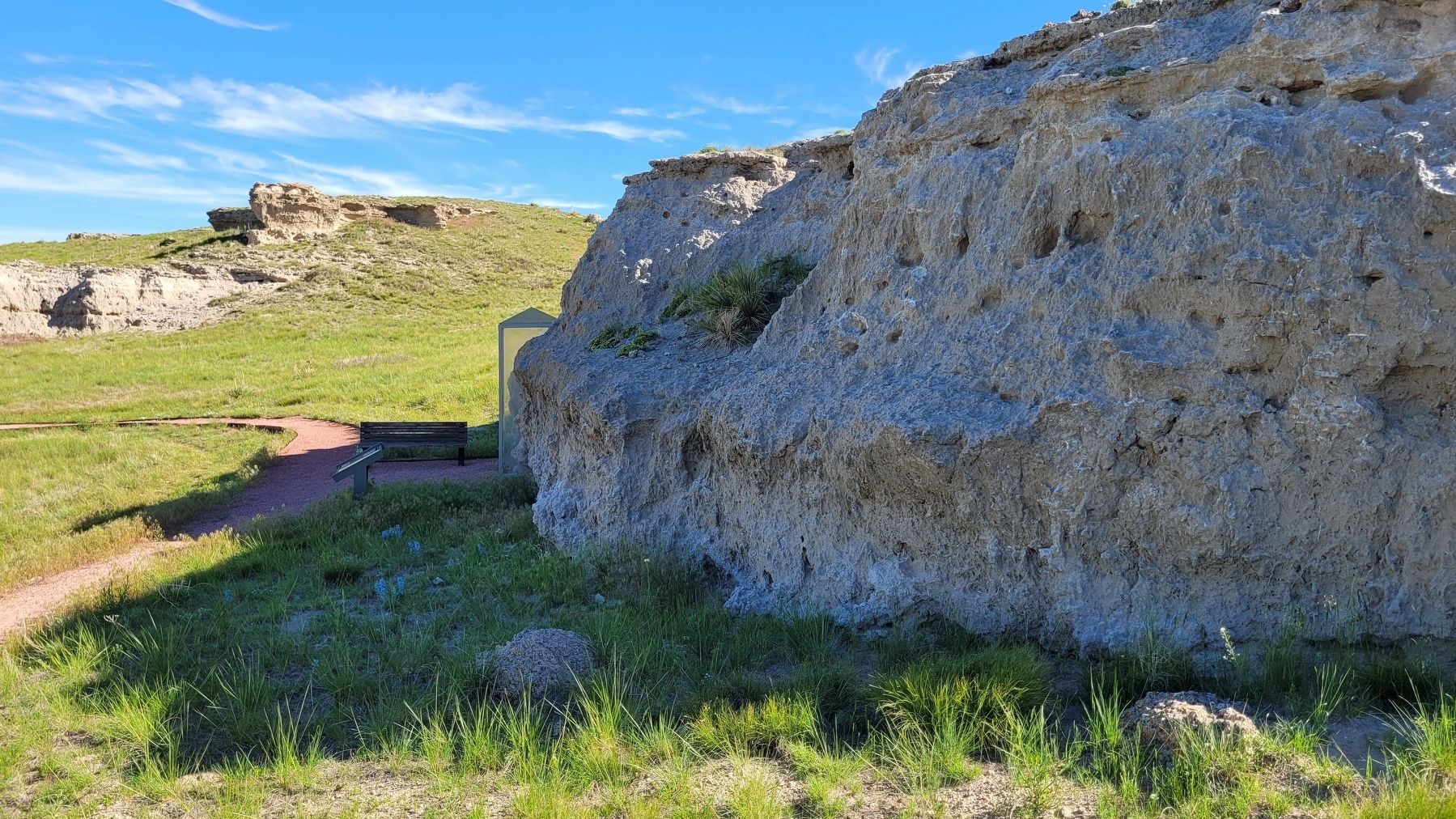
Location. 42° 25.84′ N, 103° 47.151′ W. Marker is in Agate, Nebraska, in Sioux County. Marker can be reached from the intersection of River Road and State Highway 29, on the left when traveling east. The marker is located along the 1 mile Daemonelix loop trail. Touch for map. Marker is in this post office area: Harrison NE 69346, United States of America. Touch for directions.
Other nearby markers. At least 8 other markers are within 3 miles of this marker, measured as the crow flies. A Slice Through Time (within shouting distance of this marker); Agate Springs Ranch (approx. 0.4 miles away); Guests from Pine Ridge (approx. 0.4 miles away); Two Cultures, One Land (approx. 0.4 miles away); Bone Cabin (approx. 2.4 miles away); Fossil Hills Trail (approx. 2.4 miles away); The Gift of Friendship (approx. 2.7 miles away); a different marker also named Fossil Hills Trail (approx. 2.7 miles away). Touch for a list and map of all markers in Agate.
More about this marker. The Agate Fossil Beds National Monument is a fee-free National Park Service site.
Also see . . .
1. History & Culture. Agate Fossil Beds National Monument (Submitted on July 14, 2022, by James Hulse of Medina, Texas.)
2. Wikipedia entry for Palaeocastor. Excerpt:
The discovery of Palaeocastor sprang from the discovery of devil’s corkscrews in the plains of Sioux County, Nebraska, as a tree-sized, screw-like underground formation. Its basic form is an elongated spiral of hardened earth material that inserts into the soil as deep as 9 or 10 feet. These puzzling structures first came to notice through Dr. E. H. Barbour of the University of Nebraska around Harrison, Nebraska, in 1891 and 1892. Then he described it as giant freshwater sponges. This identification was influenced by the surroundings where the “screws” were situated; the deposits in which they occur were laid down in immense freshwater lakes in the Miocene Epoch, 20 million years ago. Also for a while, people tended to believe the spiral forms are a curious type of extinct vegetation, although many remained skeptical, as well.(Submitted on July 19, 2022.)
In 1892, Dr. Barbour proposed that the devil’s corkscrews were the burrows of large rodents, and Latinized the name to the ichnofossil name Daimonhelix, Daimonelix, or Daemonelix (all these spellings are found) and classified them by shape and size.
Credits. This page was last revised on November 15, 2022. It was originally submitted on July 14, 2022, by James Hulse of Medina, Texas. This page has been viewed 517 times since then and 36 times this year. Photos: 1, 2, 3, 4. submitted on July 15, 2022, by James Hulse of Medina, Texas.


