Agate in Sioux County, Nebraska — The American Midwest (Upper Plains)
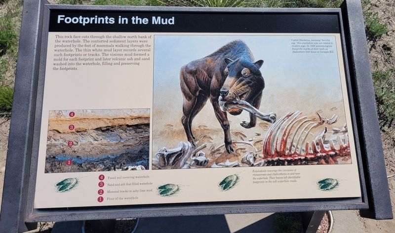
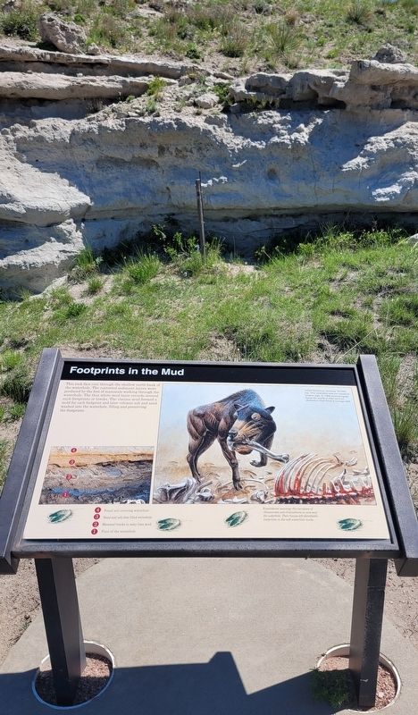
Footprints in the Mud
Captions
Lower Left:
4. Fossil soil covering waterhole
3. Sand and ash that filled waterhole
2. Mammal tracks in ashy lime mud
1. Floor of the waterhole
Upper Right: Called Dinohyus, meaning "terrible pig," this entelodont was not related to modern pigs. In 1986 paleontologists found the marks of their teeth on chalicothere limb bones at Carnegie Hill.
Lower Right: Entelodonts scavenge the carcasses of rhinoceroses and chalicotheres in and near the waterhole. Their hooves left identifiable footprints in the soft waterhole muds.
Erected by Agate Fossil Beds National Monument, National Park Service.
Topics. This historical marker is listed in these topic lists: Paleontology • Parks & Recreational Areas. A significant historical year for this entry is 1986.
Location. 42° 25.045′ N, 103° 43.652′ W. Marker is in Agate, Nebraska, in Sioux County. Marker can be reached from River Road, 3.2 miles east of State Highway 29. The marker is located along the 2 mile Fossil Hill loop trail. Touch for map. Marker is at or near this postal address: 301 River Road, Harrison NE 69346, United States of America. Touch for directions.
Other nearby markers. At least 8 other markers are within walking distance of this marker. An Ancient Waterhole (a few steps from this marker); Quarry A (a few steps from this marker); Historic Excavations (about 500 feet away, measured in a direct line); Chalicotheres (about 500 feet away); Menoceras (about 600 feet away); Beardog (about 800 feet away); Exploring the Niobrara (approx. 0.4 miles away); Fossil Hills Trail (approx. 0.6 miles away). Touch for a list and map of all markers in Agate.
More about this marker. The Agate Fossil Beds National Monument is a fee-free National Park Service site.
Also see . . .
1. History & Culture. Agate Fossil Beds National Monument (Submitted on July 15, 2022, by James Hulse of Medina, Texas.)
2. Daeodon. Wikipedia (Submitted on July 15, 2022, by James Hulse of Medina, Texas.)
Credits. This page was last revised on July 15, 2022. It was originally submitted on July 15, 2022, by James Hulse of Medina, Texas. This page has been viewed 69 times since then and 20 times this year. Photos: 1, 2, 3, 4. submitted on July 15, 2022, by James Hulse of Medina, Texas.


